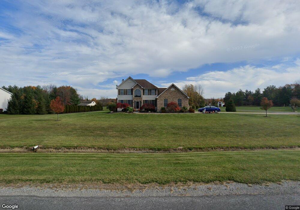
4955 Cessna Ave Brunswick, OH 44212
Estimated Value: $495,000 - $571,000
4
Beds
3
Baths
2,693
Sq Ft
$194/Sq Ft
Est. Value
About This Home
This home is located at 4955 Cessna Ave, Brunswick, OH 44212 and is currently estimated at $523,555, approximately $194 per square foot. 4955 Cessna Ave is a home located in Medina County with nearby schools including Brunswick Memorial Elementary School, Willets Middle School, and Brunswick High School.
Ownership History
Date
Name
Owned For
Owner Type
Purchase Details
Closed on
May 25, 2021
Sold by
Brenneman Ryan E and Brenneman Andrea J
Bought by
Brenneman Ryan E and Brenneman Andrea J
Current Estimated Value
Purchase Details
Closed on
Dec 1, 2011
Sold by
Mauer James J and Mauer Raquel L
Bought by
Brenneman Ryan E and Brenneman Andrea J
Home Financials for this Owner
Home Financials are based on the most recent Mortgage that was taken out on this home.
Original Mortgage
$227,050
Outstanding Balance
$156,135
Interest Rate
4.12%
Mortgage Type
Future Advance Clause Open End Mortgage
Estimated Equity
$367,420
Purchase Details
Closed on
Apr 14, 2003
Sold by
J F Development Iii Llc
Bought by
Mauer James J and Mauer Raquel L
Home Financials for this Owner
Home Financials are based on the most recent Mortgage that was taken out on this home.
Original Mortgage
$193,500
Interest Rate
5%
Mortgage Type
Construction
Create a Home Valuation Report for This Property
The Home Valuation Report is an in-depth analysis detailing your home's value as well as a comparison with similar homes in the area
Home Values in the Area
Average Home Value in this Area
Purchase History
| Date | Buyer | Sale Price | Title Company |
|---|---|---|---|
| Brenneman Ryan E | -- | None Available | |
| Brenneman Ryan E | -- | -- | |
| Brenneman Ryan E | $239,000 | -- | |
| Mauer James J | $60,000 | -- |
Source: Public Records
Mortgage History
| Date | Status | Borrower | Loan Amount |
|---|---|---|---|
| Open | Brenneman Ryan E | $227,050 | |
| Closed | Brenneman Ryan E | $227,050 | |
| Previous Owner | Mauer James J | $193,500 |
Source: Public Records
Tax History
| Year | Tax Paid | Tax Assessment Tax Assessment Total Assessment is a certain percentage of the fair market value that is determined by local assessors to be the total taxable value of land and additions on the property. | Land | Improvement |
|---|---|---|---|---|
| 2024 | $8,676 | $140,950 | $41,220 | $99,730 |
| 2023 | $7,958 | $140,950 | $41,220 | $99,730 |
| 2022 | $7,558 | $140,950 | $41,220 | $99,730 |
| 2021 | $6,712 | $110,110 | $32,200 | $77,910 |
| 2020 | $6,097 | $110,110 | $32,200 | $77,910 |
| 2019 | $6,098 | $110,110 | $32,200 | $77,910 |
| 2018 | $5,575 | $96,860 | $31,980 | $64,880 |
| 2017 | $5,582 | $96,860 | $31,980 | $64,880 |
| 2016 | $5,578 | $96,860 | $31,980 | $64,880 |
| 2015 | $5,037 | $87,850 | $29,610 | $58,240 |
| 2014 | $5,025 | $87,850 | $29,610 | $58,240 |
| 2013 | $5,035 | $87,850 | $29,610 | $58,240 |
Source: Public Records
Map
Nearby Homes
- 298 Substation Rd
- 86 Substation Rd
- 4820 Emerald Ln
- 620 Topaz Ln
- 455 Edge Park Ln
- 5221 Spruce Pointe Ln
- 4571 Elm Ave
- 320 Marks Rd
- 5415 Lake Forest Reserve Ln
- 5302 Spruce Pointe Ln
- 5279 Creekside Blvd Unit 7
- 5279 Creekside Blvd Unit T34
- 803 Substation Rd
- 18805 Prospect Rd
- 5236 Creekside Blvd
- 5326 Millcreek Blvd Unit A-4
- 21015 Park Ridge Crossing Unit 31
- 20208 E Donegal Ln
- 647 Pearl Rd
- 4776 Aspen Oval
- 4977 Cessna Ave
- 4927 Cessna Ave
- 67 Slate Rd
- 4960 Cessna Ave
- 4948 Cessna Ave
- 252 Newport Cir
- 4905 Cessna Ave
- 4934 Cessna Ave
- 4989 Cessna Ave
- 5008 Cheyney Ln
- 5001 Cheyney Ln
- 4922 Cessna Ave
- 238 Newport Cir
- 247 Newport Cir
- 5026 Cheyney Ln
- 324 Substation Rd
- 5017 Cheyney Ln
- 282 Substation Rd
- 241 Newport Cir
- 5044 Cheyney Ln
Your Personal Tour Guide
Ask me questions while you tour the home.