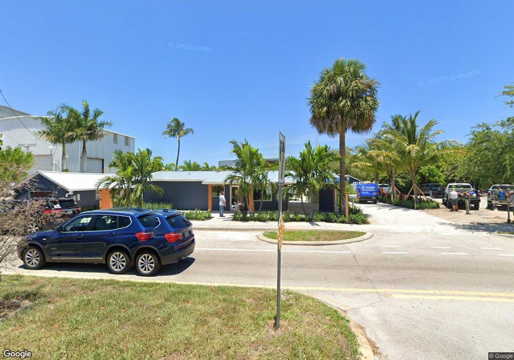
4969 SE Dixie Hwy Stuart, FL 34997
Estimated Value: $1,044,969
2
Beds
2
Baths
961
Sq Ft
$1,087/Sq Ft
Est. Value
About This Home
This home is located at 4969 SE Dixie Hwy, Stuart, FL 34997 and is currently estimated at $1,044,969, approximately $1,087 per square foot. 4969 SE Dixie Hwy is a home located in Martin County with nearby schools including Port Salerno Elementary School, Murray Middle School, and South Fork High School.
Ownership History
Date
Name
Owned For
Owner Type
Purchase Details
Closed on
Aug 14, 2018
Sold by
Riley Pieter and Riley Bestsey
Bought by
Salerno Parcel Llc
Current Estimated Value
Purchase Details
Closed on
Feb 17, 2000
Sold by
Sine Charles C and Sine Rita Sine
Bought by
Riley Betsey
Purchase Details
Closed on
Jul 28, 1992
Bought by
Riley Betsey L
Purchase Details
Closed on
Feb 1, 1979
Bought by
Riley Betsey L
Create a Home Valuation Report for This Property
The Home Valuation Report is an in-depth analysis detailing your home's value as well as a comparison with similar homes in the area
Home Values in the Area
Average Home Value in this Area
Purchase History
| Date | Buyer | Sale Price | Title Company |
|---|---|---|---|
| Salerno Parcel Llc | $640,000 | Attorney | |
| Riley Betsey | $325,000 | -- | |
| Riley Betsey L | $310,000 | -- | |
| Riley Betsey L | $65,000 | -- |
Source: Public Records
Map
Nearby Homes
- 4984 SE Railway Ave
- 4982 SE Railway Ave
- 4726 SE Capstan Ave Unit 4
- 5086 SE Channel Dr
- 4680 SE Manatee Way
- 4692 SE Manatee Way
- 4662 SE Manatee Way
- 4659 SE Manatee Way
- 4707 SE Manatee Way
- 4695 SE Manatee Way
- 4761 SE Binnacle Way Unit 108
- 4878 SE Commerce Ave
- 4669 SE May Ave
- 0 SE Grant St Unit R11090814
- 000 SE Anchorage Dr
- 4975 SE Manatee Cove Rd
- 4800 SE Ebbtide Ave
- 4345 SE Mulford Ln
- 4844 SE Pilot Way
- 5460 SE Front Ave
- 4959 SE Dixie Hwy
- 4920 SE Dixie Hwy
- 4832 SE Anchor Ave
- 4862 SE Anchor Ave Unit 8
- 4862 SE Anchor Ave Unit 6
- 4862 SE Anchor Ave Unit 1
- 4862 SE Anchor Ave Unit 4
- 4862 SE Anchor Ave Unit 2
- 4862 SE Anchor Ave Unit 5
- 4862 SE Anchor Ave Unit 7
- 4862 SE Anchor Ave
- 4862 SE Anchor Ave Unit 3
- 4910 SE Dixie Hwy
- 5000 SE Railway Ave
- 4986 SE Railway Ave
- 5020 SE Railway Ave
- 5010 SE Railway Ave
- 4980 SE Railway Ave
- 610 Horseshoe Point Rd
- 4861 SE Anchor Ave
Your Personal Tour Guide
Ask me questions while you tour the home.