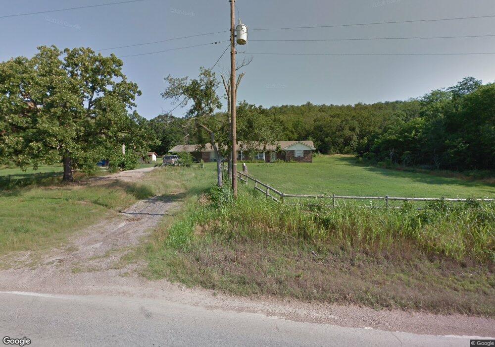
497 E Reba McEntire Ave Stringtown, OK 74569
Estimated Value: $218,000 - $245,083
3
Beds
2
Baths
2,007
Sq Ft
$113/Sq Ft
Est. Value
About This Home
This home is located at 497 E Reba McEntire Ave, Stringtown, OK 74569 and is currently estimated at $227,028, approximately $113 per square foot. 497 E Reba McEntire Ave is a home with nearby schools including Stringtown Elementary School and Stringtown High School.
Ownership History
Date
Name
Owned For
Owner Type
Purchase Details
Closed on
Mar 29, 2018
Sold by
Gilbert Loveland and Gilbert Jeannie
Bought by
Loveland Gilbert and Loveland Jeannie
Current Estimated Value
Purchase Details
Closed on
Apr 14, 2009
Sold by
Loveland Jeff
Bought by
Loveland Gilbert and Loveland Jeann
Purchase Details
Closed on
Feb 9, 2009
Sold by
Loveland Gilbert and Loveland Jeann
Bought by
Loveland Jeff
Purchase Details
Closed on
Jul 25, 2006
Sold by
Gilbert Loveland
Bought by
Gilbert Loveland and Gilbert Ethal
Create a Home Valuation Report for This Property
The Home Valuation Report is an in-depth analysis detailing your home's value as well as a comparison with similar homes in the area
Purchase History
| Date | Buyer | Sale Price | Title Company |
|---|---|---|---|
| Loveland Gilbert | $110,000 | -- | |
| Loveland Gilbert | -- | -- | |
| Loveland Jeff | -- | -- | |
| Gilbert Loveland | -- | -- | |
| Gilbert Loveland | $92,000 | -- |
Source: Public Records
Tax History
| Year | Tax Paid | Tax Assessment Tax Assessment Total Assessment is a certain percentage of the fair market value that is determined by local assessors to be the total taxable value of land and additions on the property. | Land | Improvement |
|---|---|---|---|---|
| 2025 | $1,720 | $17,408 | $3,459 | $13,949 |
| 2024 | $1,720 | $16,579 | $3,294 | $13,285 |
| 2023 | $1,513 | $15,789 | $2,912 | $12,877 |
| 2022 | $1,351 | $15,038 | $2,364 | $12,674 |
| 2021 | $1,316 | $14,322 | $2,364 | $11,958 |
| 2020 | $1,280 | $13,640 | $2,364 | $11,276 |
| 2019 | $1,177 | $12,296 | $2,364 | $9,932 |
| 2018 | $1,137 | $11,711 | $2,364 | $9,347 |
| 2017 | $995 | $12,125 | $2,364 | $9,761 |
| 2016 | $1,022 | $12,321 | $2,364 | $9,957 |
| 2015 | $1,026 | $12,336 | $2,364 | $9,972 |
| 2014 | $909 | $12,244 | $2,064 | $10,180 |
Source: Public Records
Map
Nearby Homes
- 462 E Reba McEntire Ave
- 130 S Highland St
- 283 Highland St
- 345 Cumberland Ave
- 614 Hughes St E
- 8446 E Greasy Bend Rd
- 0 Miller Rd
- Samata Ford Rd
- 2 Eagle
- 00 W Hwy 69-75 Hwy
- 0 County Road 3885 Unit 2602168
- 3345 U S 69
- 311 E A St
- 0000 1680 Rd
- 215 N California Ave
- 1680 Rd
- 167 N Montana Ave
- 473 N Murray Ave
- 2973 N Lakeside Cir
- 13221 E Highway 3
- 508 E Reba McEntire Ave
- 510 E Reba McEntire Ave
- 464 E Reba McEntire Ave
- 459 E Reba McEntire Ave
- 229 S Holstine Loop
- 194 George Ranch Rd
- 417 E Reba McEntire Ave
- 599 E Reba McEntire Ave
- 734 E Reba McEntire Ave
- 507 E Reba McEntire Ave
- 300 George Ranch Rd
- 368 N Winters St
- 379 E Reba McEntire Ave
- 295 N Erwin St
- 0 McGee Rd Unit 1610127
- 0 State Highway 43
- 321 Winters St
- 293 E Reba McEntire Ave
- 114 Highland St
Your Personal Tour Guide
Ask me questions while you tour the home.