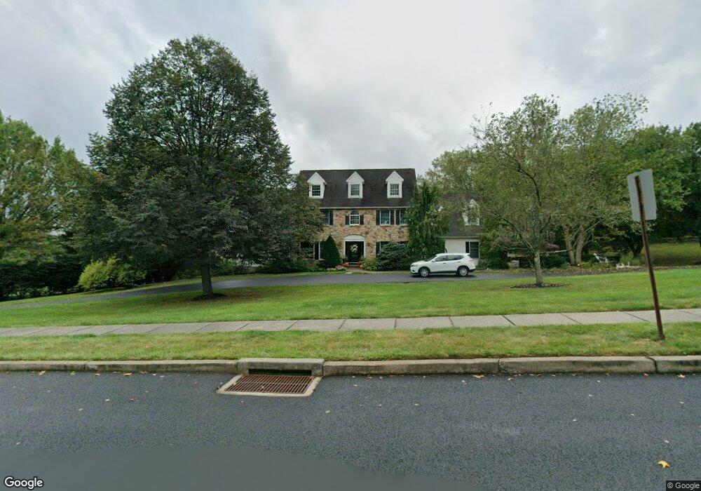
4971 Gloucester Dr Doylestown, PA 18902
Plumstead NeighborhoodEstimated Value: $1,257,000 - $1,544,468
About This Home
This home is located at 4971 Gloucester Dr, Doylestown, PA 18902 and is currently estimated at $1,424,117, approximately $209 per square foot. 4971 Gloucester Dr is a home located in Bucks County with nearby schools including Gayman Elementary School, Tohickon Middle School, and Central Bucks High School - East.
Ownership History
We collect this data history from publicly available records. To have your information removed, we recommend requesting removal directly through your county’s website.
Purchase Details
Home Financials for this Owner
Home Financials are based on the most recent Mortgage that was taken out on this home.Purchase Details
Home Values in the Area
Average Home Value in this Area
Purchase History
We collect this data history from publicly available records. To have your information removed, we recommend requesting removal directly through your county’s website.
| Date | Buyer | Sale Price | Title Company |
|---|---|---|---|
| $1,090,000 | Chicago Title Insurance Co | ||
| $122,250 | -- |
Mortgage History
We collect this data history from publicly available records. To have your information removed, we recommend requesting removal directly through your county’s website.
| Date | Status | Borrower | Loan Amount |
|---|---|---|---|
| Open | $872,000 |
Tax History
We collect this data history from publicly available records. To have your information removed, we recommend requesting removal directly through your county’s website.
| Year | Tax Paid | Tax Assessment Tax Assessment Total Assessment is a certain percentage of the fair market value that is determined by local assessors to be the total taxable value of land and additions on the property. | Land | Improvement |
|---|---|---|---|---|
| 2026 | $13,405 | $74,180 | $10,320 | $63,860 |
| 2025 | $12,889 | $74,180 | $10,320 | $63,860 |
| 2024 | $12,889 | $74,180 | $10,320 | $63,860 |
| 2023 | $12,479 | $74,180 | $10,320 | $63,860 |
| 2022 | $12,340 | $74,180 | $10,320 | $63,860 |
| 2021 | $12,202 | $74,180 | $10,320 | $63,860 |
| 2020 | $12,202 | $74,180 | $10,320 | $63,860 |
| 2019 | $12,128 | $74,180 | $10,320 | $63,860 |
| 2018 | $12,128 | $74,180 | $10,320 | $63,860 |
| 2017 | $11,961 | $74,180 | $10,320 | $63,860 |
| 2016 | $11,961 | $74,180 | $10,320 | $63,860 |
| 2015 | -- | $74,180 | $10,320 | $63,860 |
| 2014 | -- | $74,180 | $10,320 | $63,860 |
Map
- 4319 Michener Rd
- 4805 Cheshire Rd
- 4682 Plough Tavern Rd
- 4251 Aly Dr
- 5052 Grundy Way
- 5182 Point Pleasant Pike
- 4664 Bergstrom Rd
- 6680 Point Pleasant Pike
- 4830 Redfield Rd
- 4202 Miladies Ln
- 4252 Miladies Ln
- 4196 Miladies Ln
- 5455 Mcginnis Ct
- 4179 Miladies Ln
- 4488 Honeysuckle Ln
- 5389 Carversville Rd
- 5447 Carversville Rd
- 3901 Daystar Dr
- 5595 Ridgeview Dr
- 5431 Michael Ct
- 4965 Gloucester Dr
- 4750 Essex Dr
- 4755 Essex Dr
- 4968 Gloucester Dr
- 4759 Essex Dr
- 4754 Essex Dr
- 4758 Essex Dr
- 4749 Essex Dr
- 4960 Gloucester Dr
- 4957 Gloucester Dr
- 4760 Essex Dr
- 4763 Essex Dr
- 4952 Gloucester Dr
- 4745 Essex Dr
- 4746 Essex Dr
- 4742 Essex Dr
- 4929 Gloucester Dr
- 4767 Essex Dr
- 4764 Essex Dr
- 4889 Gloucester Dr
Ask me questions while you tour the home.