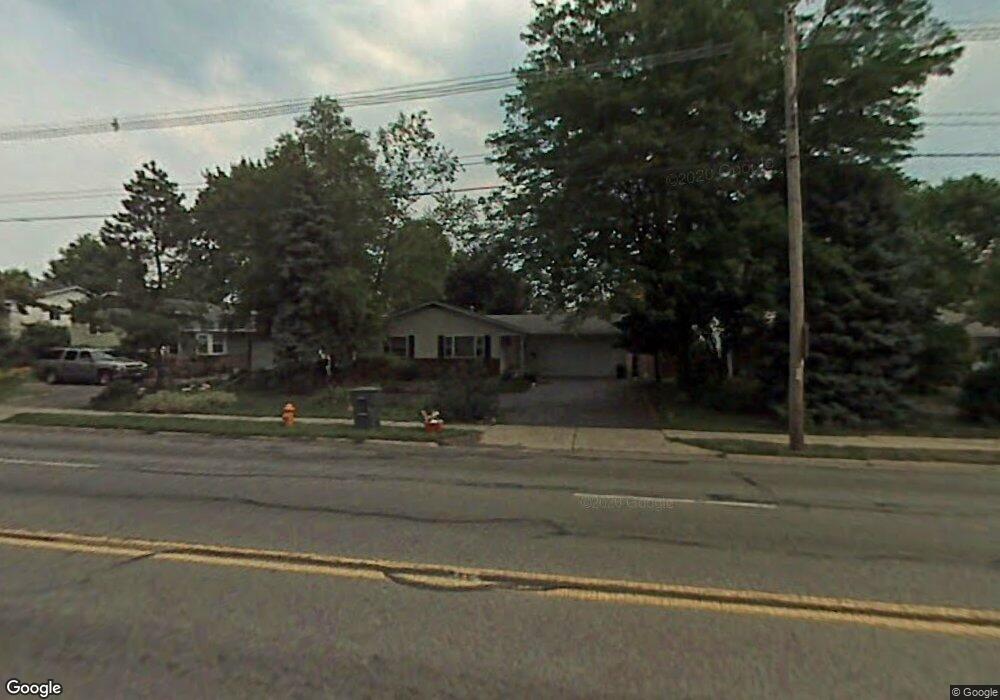
4998 Karl Rd Columbus, OH 43229
Forest Park East NeighborhoodEstimated Value: $271,000 - $290,000
3
Beds
2
Baths
1,240
Sq Ft
$225/Sq Ft
Est. Value
About This Home
This home is located at 4998 Karl Rd, Columbus, OH 43229 and is currently estimated at $278,892, approximately $224 per square foot. 4998 Karl Rd is a home located in Franklin County with nearby schools including Parkmoor Elementary School, Woodward Park Middle School, and Northland High School.
Ownership History
Date
Name
Owned For
Owner Type
Purchase Details
Closed on
Jun 24, 2005
Sold by
Cason Leneva
Bought by
Robinson James H and Robinson Sandra E
Current Estimated Value
Home Financials for this Owner
Home Financials are based on the most recent Mortgage that was taken out on this home.
Original Mortgage
$118,000
Outstanding Balance
$60,850
Interest Rate
5.87%
Mortgage Type
Fannie Mae Freddie Mac
Estimated Equity
$218,042
Purchase Details
Closed on
Oct 18, 2000
Sold by
Burke Ronald J and Burke Misty R
Bought by
Cason Lindsey Leneva
Purchase Details
Closed on
Feb 9, 2000
Sold by
Yun Wilson Steven M and Yun Hui
Bought by
Burke Ronald J and Burke Misty R
Home Financials for this Owner
Home Financials are based on the most recent Mortgage that was taken out on this home.
Original Mortgage
$112,200
Interest Rate
8.08%
Mortgage Type
VA
Purchase Details
Closed on
Jul 1, 1978
Create a Home Valuation Report for This Property
The Home Valuation Report is an in-depth analysis detailing your home's value as well as a comparison with similar homes in the area
Home Values in the Area
Average Home Value in this Area
Purchase History
| Date | Buyer | Sale Price | Title Company |
|---|---|---|---|
| Robinson James H | $133,000 | Columbus Title | |
| Cason Lindsey Leneva | $114,900 | Chicago Title West | |
| Burke Ronald J | $110,000 | Franklin Abstract | |
| -- | $40,000 | -- |
Source: Public Records
Mortgage History
| Date | Status | Borrower | Loan Amount |
|---|---|---|---|
| Open | Robinson James H | $118,000 | |
| Previous Owner | Burke Ronald J | $112,200 |
Source: Public Records
Tax History
| Year | Tax Paid | Tax Assessment Tax Assessment Total Assessment is a certain percentage of the fair market value that is determined by local assessors to be the total taxable value of land and additions on the property. | Land | Improvement |
|---|---|---|---|---|
| 2025 | $3,682 | $82,050 | $22,440 | $59,610 |
| 2024 | $3,682 | $82,050 | $22,440 | $59,610 |
| 2023 | $3,635 | $82,040 | $22,435 | $59,605 |
| 2022 | $2,703 | $52,120 | $13,230 | $38,890 |
| 2021 | $2,786 | $52,120 | $13,230 | $38,890 |
| 2020 | $2,711 | $52,120 | $13,230 | $38,890 |
| 2019 | $2,538 | $41,830 | $10,570 | $31,260 |
| 2018 | $2,320 | $41,830 | $10,570 | $31,260 |
| 2017 | $2,536 | $41,830 | $10,570 | $31,260 |
| 2016 | $2,321 | $35,040 | $9,000 | $26,040 |
| 2015 | $2,107 | $35,040 | $9,000 | $26,040 |
| 2014 | $2,112 | $35,040 | $9,000 | $26,040 |
| 2013 | $1,097 | $36,890 | $9,485 | $27,405 |
Source: Public Records
Map
Nearby Homes
- 5004 Julie Place
- 4923 Karl Rd Unit 4925
- 4909-4911 Karl Rd
- 1485 Norma Rd
- 1680 Pin Oak Dr
- 4866 Woodthrush Way
- 4818 Colonel Perry Dr
- 4852 Snowbird Cir Unit 13B
- 4795 Colonel Perry Dr
- 5092 Riverbirch Dr N
- 5352 Hazelwood Rd
- 1638 Arrowood Loop N
- 1349 Redwood Ct
- 1944 Coghill Dr
- 1294 Maize Ct
- 4737 Maize Rd
- 5513 Redwood Rd
- 2064 Waymont Rd
- 5533 Redwood Rd
- 2117 Kilbourne Ave
Your Personal Tour Guide
Ask me questions while you tour the home.