49W396 Scott Rd Big Rock, IL 60511
Big Rock AreaEstimated Value: $948,419
About This Home
This home is located at 49W396 Scott Rd, Big Rock, IL 60511 and is currently priced at $948,419, approximately $182 per square foot. 49W396 Scott Rd is a home located in Kane County.
Ownership History
We collect this data history from publicly available records. To have your information removed, we recommend requesting removal directly through your county’s website.
Purchase Details
Purchase Details
Home Financials for this Owner
Home Financials are based on the most recent Mortgage that was taken out on this home.Home Values in the Area
Average Home Value in this Area
Purchase History
We collect this data history from publicly available records. To have your information removed, we recommend requesting removal directly through your county’s website.
| Date | Buyer | Sale Price | Title Company |
|---|---|---|---|
| -- | Attorney | ||
| $490,000 | First American Title |
Mortgage History
We collect this data history from publicly available records. To have your information removed, we recommend requesting removal directly through your county’s website.
| Date | Status | Borrower | Loan Amount |
|---|---|---|---|
| Open | $392,000 |
Tax History
We collect this data history from publicly available records. To have your information removed, we recommend requesting removal directly through your county’s website.
| Year | Tax Paid | Tax Assessment Tax Assessment Total Assessment is a certain percentage of the fair market value that is determined by local assessors to be the total taxable value of land and additions on the property. | Land | Improvement |
|---|---|---|---|---|
| 2024 | $18,931 | $283,080 | $101,223 | $181,857 |
| 2023 | $18,144 | $261,241 | $93,414 | $167,827 |
| 2022 | $17,461 | $245,090 | $87,639 | $157,451 |
| 2021 | $17,856 | $230,304 | $82,352 | $147,952 |
| 2020 | $17,534 | $222,430 | $79,536 | $142,894 |
| 2019 | $16,846 | $211,415 | $75,597 | $135,818 |
| 2018 | $16,552 | $196,917 | $72,879 | $124,038 |
| 2017 | $16,026 | $186,228 | $68,923 | $117,305 |
| 2016 | $16,184 | $180,133 | $68,923 | $111,210 |
| 2015 | -- | $164,409 | $67,804 | $96,605 |
| 2014 | -- | $162,806 | $73,614 | $89,192 |
| 2013 | -- | $150,170 | $75,688 | $74,482 |
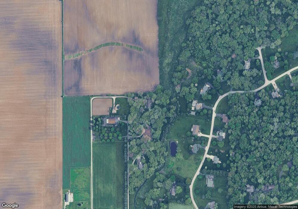
Map
- 6S642 Davis Rd
- 49W693 Hinckley Rd
- 0 Jefferson Ave
- 46W763 Wheeler Rd
- Dauberman Rd
- 640 Rustic Way
- 630 Rustic Way
- 620 Rustic Way
- 330 Harvest Ave
- 560 Walnut St
- 531 Walnut St
- 2S919 Dauberman Rd
- 520 N Oak St
- 46W440 Granart Rd
- 210 E Miller Ave
- 531 N Sycamore St
- 171 N Sycamore St
- 225 N May St
- 330 W Amie Ave
- 531 Meadow Ln
- 49W412 Scott Rd
- 5S430 Deer Ridge Path
- 49W330 Scott Rd
- 5S350 Deer Ridge Path
- 5S310 Deer Ridge Path
- 49W440 Scott Rd
- 49w Scott Rd
- 5S375 Deer Ridge Path
- 5S280 Deer Ridge Path
- Lot 4 Deer Ridge Path
- 05S390 Deer Ridge Path
- Lot 1 Deer Ridge Path
- Lot Deer Ridge Path
- 5S425 Deer Ridge Path
- 49W476 Scott Rd
- 5S331 Deer Ridge Path
- 5S471 Deer Ridge Path
- 5S260 Deer Ridge Path
- 4 Deer Ridge Path
- 1 Deer Ridge Path
Ask me questions while you tour the home.