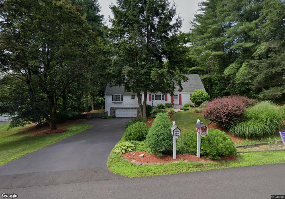
5 Adams Rd Bloomfield, CT 06002
Estimated Value: $448,000 - $510,000
4
Beds
3
Baths
2,266
Sq Ft
$211/Sq Ft
Est. Value
About This Home
This home is located at 5 Adams Rd, Bloomfield, CT 06002 and is currently estimated at $477,384, approximately $210 per square foot. 5 Adams Rd is a home located in Hartford County with nearby schools including Laurel School, Carmen Arace Intermediate School, and Metacomet School.
Ownership History
Date
Name
Owned For
Owner Type
Purchase Details
Closed on
Sep 30, 2021
Sold by
Needelman Sandra E
Bought by
Needelman Marc N and Needelman Sandra E
Current Estimated Value
Purchase Details
Closed on
Apr 3, 2017
Sold by
Needelman Marc N
Bought by
Needelman Sandra E
Purchase Details
Closed on
Jun 30, 1986
Bought by
Needelman Marc N and Needelman Sandra E
Create a Home Valuation Report for This Property
The Home Valuation Report is an in-depth analysis detailing your home's value as well as a comparison with similar homes in the area
Home Values in the Area
Average Home Value in this Area
Purchase History
We collect this data history from publicly available records. To have your information removed, we recommend requesting removal directly through your county’s website.
| Date | Buyer | Sale Price | Title Company |
|---|---|---|---|
| Needelman Marc N | -- | None Available | |
| Needelman Marc N | -- | None Available | |
| Needelman Sandra E | -- | -- | |
| Needelman Sandra E | -- | -- | |
| Needelman Marc N | $152,000 | -- |
Source: Public Records
Mortgage History
We collect this data history from publicly available records. To have your information removed, we recommend requesting removal directly through your county’s website.
| Date | Status | Borrower | Loan Amount |
|---|---|---|---|
| Previous Owner | Needelman Marc N | $81,214 | |
| Previous Owner | Needelman Marc N | $63,000 | |
| Previous Owner | Needelman Marc N | $65,000 |
Source: Public Records
Tax History
| Year | Tax Paid | Tax Assessment Tax Assessment Total Assessment is a certain percentage of the fair market value that is determined by local assessors to be the total taxable value of land and additions on the property. | Land | Improvement |
|---|---|---|---|---|
| 2025 | $10,458 | $278,880 | $63,000 | $215,880 |
| 2024 | $7,114 | $181,300 | $47,880 | $133,420 |
| 2023 | $6,985 | $181,300 | $47,880 | $133,420 |
| 2022 | $6,532 | $181,300 | $47,880 | $133,420 |
| 2021 | $6,677 | $181,300 | $47,880 | $133,420 |
| 2020 | $6,574 | $181,300 | $47,880 | $133,420 |
| 2019 | $6,958 | $179,970 | $47,880 | $132,090 |
| 2018 | $6,786 | $175,700 | $47,110 | $128,590 |
| 2017 | $6,775 | $175,700 | $47,110 | $128,590 |
| 2016 | $6,615 | $175,700 | $47,110 | $128,590 |
| 2015 | $6,492 | $175,700 | $47,110 | $128,590 |
| 2014 | $6,687 | $187,110 | $49,000 | $138,110 |
Source: Public Records
Map
Nearby Homes
- 24 Hunting Ridge Dr
- 22 Walts Hill
- 2 Quarry Rd
- 16 Pinnacle Mountain Rd
- 5 Beaudry Ln
- 68 Tariffville Rd
- 406 Tunxis Ave
- 10 Quail Run
- 1 West St Unit 223
- 9 Carriage Dr Unit 9
- 25 Mountain Rd
- 18 Richard Ln
- 32 Brighton Park Way Unit 32
- 226 Woodland Ave
- 218 Woodland Ave
- 19 Brighton Park Way Unit 19
- 40 Firetown Rd Unit 20
- 82 West St
- 37 Old Mill Ct Unit 37
- 100 Cambridge Ct
Your Personal Tour Guide
Ask me questions while you tour the home.