5 Barton Dr Hightstown, NJ 08520
Estimated Value: $522,185 - $619,000
Studio
--
Bath
1,997
Sq Ft
$290/Sq Ft
Est. Value
About This Home
This home is located at 5 Barton Dr, Hightstown, NJ 08520 and is currently estimated at $578,796, approximately $289 per square foot. 5 Barton Dr is a home located in Mercer County with nearby schools including Melvin H. Kreps Middle School, Hightstown High School, and SciCore Academy.
Ownership History
Date
Name
Owned For
Owner Type
Purchase Details
Closed on
Mar 18, 2011
Sold by
Perugini Anthony E and Perugini Roaslie F
Bought by
Perugini Anthony E and Perugini Louise
Current Estimated Value
Purchase Details
Closed on
Sep 12, 2007
Sold by
Enchantment At Hightstown Llc
Bought by
Perugini Anthony E and Perugini Rosalie F
Create a Home Valuation Report for This Property
The Home Valuation Report is an in-depth analysis detailing your home's value as well as a comparison with similar homes in the area
Home Values in the Area
Average Home Value in this Area
Purchase History
We collect this data history from publicly available records. To have your information removed, we recommend requesting removal directly through your county’s website.
| Date | Buyer | Sale Price | Title Company |
|---|---|---|---|
| Perugini Anthony E | -- | None Available | |
| Perugini Anthony E | $402,237 | -- |
Source: Public Records
Tax History
| Year | Tax Paid | Tax Assessment Tax Assessment Total Assessment is a certain percentage of the fair market value that is determined by local assessors to be the total taxable value of land and additions on the property. | Land | Improvement |
|---|---|---|---|---|
| 2025 | $12,400 | $252,900 | $64,600 | $188,300 |
| 2024 | $12,273 | $252,900 | $64,600 | $188,300 |
| 2023 | $12,273 | $252,900 | $64,600 | $188,300 |
| 2022 | $11,848 | $252,900 | $64,600 | $188,300 |
| 2021 | $11,421 | $252,900 | $64,600 | $188,300 |
| 2020 | $10,910 | $252,900 | $64,600 | $188,300 |
| 2019 | $10,849 | $252,900 | $64,600 | $188,300 |
| 2018 | $10,533 | $252,900 | $64,600 | $188,300 |
| 2017 | $10,425 | $252,900 | $64,600 | $188,300 |
| 2016 | $10,333 | $252,900 | $64,600 | $188,300 |
| 2015 | $10,018 | $252,900 | $64,600 | $188,300 |
| 2014 | $10,083 | $252,900 | $64,600 | $188,300 |
Source: Public Records
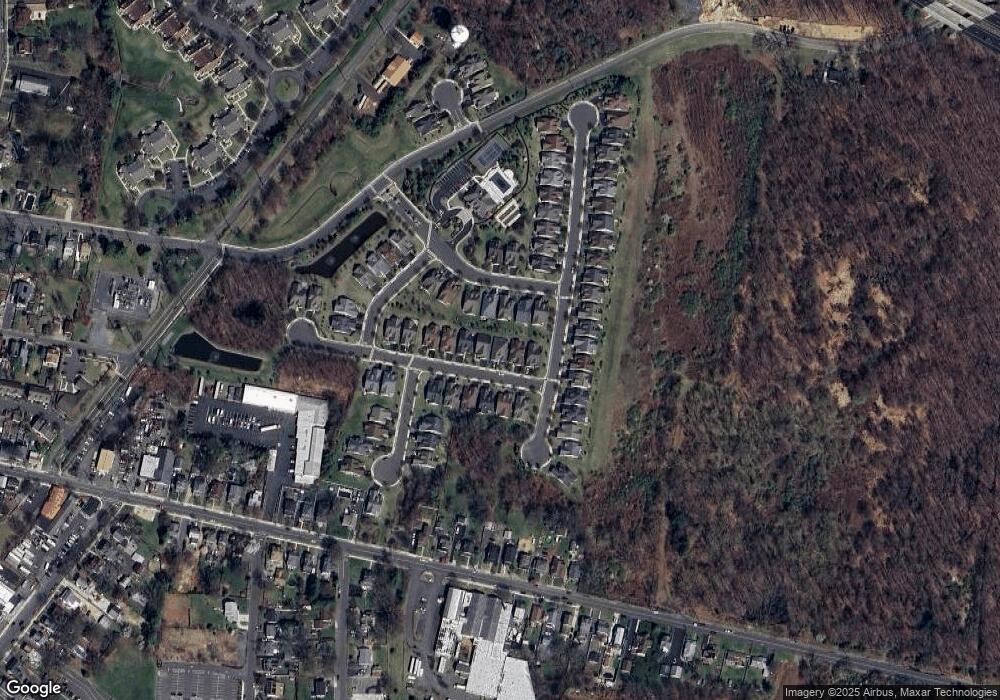
Map
Nearby Homes
- 344 Monmouth St
- 312 Monmouth St
- 336 Monmouth St
- 128 Maxwell Ave
- 10 Fryer Ct
- 27 Huber Ct
- 18 Dennis Ct Unit 207
- 421 N Main St
- 13 Powell Ct
- 13 Powell Ct Unit 24
- 220 A Wilson Ave
- 216 Sunset Ave
- 11 Quarry Ct
- 141 Stockton St
- 244 Sunset Ave
- 49 Woodside Ave
- 66 Tennyson Rd
- 6 7 Pine
- 302 S Main St
- 309 Lincoln Ave
Your Personal Tour Guide
Ask me questions while you tour the home.