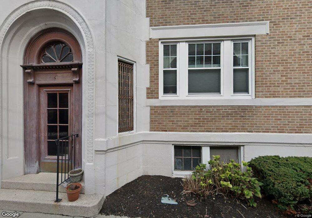
5 Colliston Rd Unit 2 Brighton, MA 02135
Commonwealth NeighborhoodEstimated Value: $627,492 - $748,000
2
Beds
2
Baths
1,220
Sq Ft
$565/Sq Ft
Est. Value
About This Home
This home is located at 5 Colliston Rd Unit 2, Brighton, MA 02135 and is currently estimated at $689,123, approximately $564 per square foot. 5 Colliston Rd Unit 2 is a home located in Suffolk County with nearby schools including Boston Green Academy Horace Mann Charter School, Torah Academy, and Bais Yaakov Of Boston High School.
Ownership History
Date
Name
Owned For
Owner Type
Purchase Details
Closed on
Nov 16, 1993
Sold by
Bandoni Paul C and Perkins Joanne B
Bought by
Dale Sara J
Current Estimated Value
Home Financials for this Owner
Home Financials are based on the most recent Mortgage that was taken out on this home.
Original Mortgage
$74,200
Interest Rate
6.79%
Mortgage Type
Purchase Money Mortgage
Create a Home Valuation Report for This Property
The Home Valuation Report is an in-depth analysis detailing your home's value as well as a comparison with similar homes in the area
Home Values in the Area
Average Home Value in this Area
Purchase History
| Date | Buyer | Sale Price | Title Company |
|---|---|---|---|
| Dale Sara J | $99,000 | -- | |
| Dale Sara J | $99,000 | -- |
Source: Public Records
Mortgage History
| Date | Status | Borrower | Loan Amount |
|---|---|---|---|
| Closed | Dale Sara J | $74,200 |
Source: Public Records
Tax History
| Year | Tax Paid | Tax Assessment Tax Assessment Total Assessment is a certain percentage of the fair market value that is determined by local assessors to be the total taxable value of land and additions on the property. | Land | Improvement |
|---|---|---|---|---|
| 2025 | $6,066 | $523,800 | $0 | $523,800 |
| 2024 | $5,718 | $524,600 | $0 | $524,600 |
| 2023 | $5,634 | $524,600 | $0 | $524,600 |
| 2022 | $5,385 | $494,900 | $0 | $494,900 |
| 2021 | $5,281 | $494,900 | $0 | $494,900 |
| 2020 | $5,018 | $475,200 | $0 | $475,200 |
| 2019 | $4,912 | $466,000 | $0 | $466,000 |
| 2018 | $4,565 | $435,600 | $0 | $435,600 |
| 2017 | $4,272 | $403,400 | $0 | $403,400 |
| 2016 | $4,071 | $370,100 | $0 | $370,100 |
| 2015 | $4,430 | $365,800 | $0 | $365,800 |
| 2014 | $4,182 | $332,400 | $0 | $332,400 |
Source: Public Records
Map
Nearby Homes
- 15 Colliston Rd Unit 6
- 140 Kilsyth Rd Unit 9
- 140 Kilsyth Rd Unit 8
- 37 Englewood Ave Unit 3
- 155 Kilsyth Rd
- 1666 Commonwealth Ave Unit 66-24
- 4 7 Englewood Ave
- 114 Evans Rd Unit 5
- 47 Englewood Ave
- 1778 Beacon St Unit 302
- 24 Selkirk Rd Unit 24-4
- 1673 Commonwealth Ave Unit 3
- 100 Lanark Rd Unit A
- 100 Lanark Rd Unit 8
- 1691 Commonwealth Ave Unit 31
- 110 Lanark Rd Unit 10
- 1874 Beacon St Unit 4
- 30 Kinross Rd Unit 1
- 38 Ransom Rd Unit 12
- 69 Strathmore Rd Unit 69
- 5 Colliston Rd Unit 8
- 5 Colliston Rd
- 5 Colliston Rd Unit 4
- 5 Colliston Rd Unit 3
- 5 Colliston Rd Unit 1
- 5 Colliston Rd Unit B
- 5 Colliston Rd
- 5 Colliston Rd Unit 5
- 5 Colliston Rd Unit 8 5
- 78 Kilsyth Rd Unit 8
- 78 Kilsyth Rd Unit 7
- 78 Kilsyth Rd Unit 6
- 78 Kilsyth Rd Unit 5
- 78 Kilsyth Rd Unit 4
- 78 Kilsyth Rd Unit 3
- 78 Kilsyth Rd Unit 2
- 78 Kilsyth Rd Unit 1
- 78 Kilsyth Rd Unit 78
- 78 Kilsyth Rd
- 78 Kilsyth Rd Unit 7 78
Your Personal Tour Guide
Ask me questions while you tour the home.