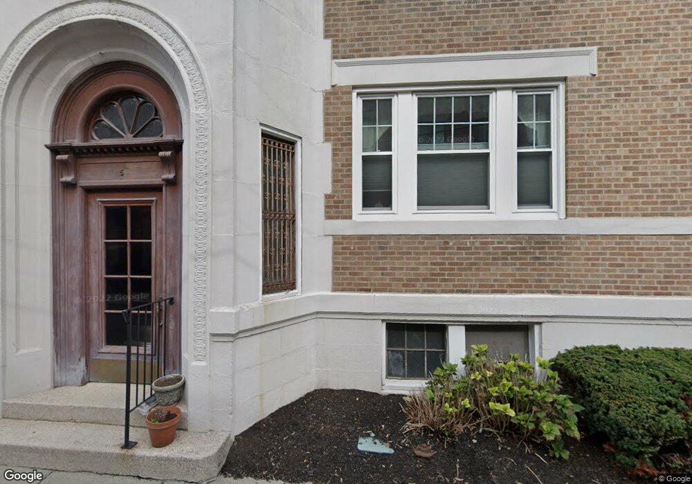
5 Colliston Rd Brighton, MA 02135
Commonwealth NeighborhoodEstimated Value: $491,000 - $580,000
3
Beds
1
Bath
790
Sq Ft
$688/Sq Ft
Est. Value
About This Home
This home is located at 5 Colliston Rd, Brighton, MA 02135 and is currently estimated at $543,774, approximately $688 per square foot. 5 Colliston Rd is a home located in Suffolk County with nearby schools including Boston Green Academy Horace Mann Charter School, Torah Academy, and Bais Yaakov Of Boston High School.
Ownership History
Date
Name
Owned For
Owner Type
Purchase Details
Closed on
Dec 2, 1999
Sold by
Rosenthal Lloyd and Blot Vincent
Bought by
Tretyakova Eleanor S
Current Estimated Value
Purchase Details
Closed on
Nov 1, 1999
Sold by
Schapiro Brian L
Bought by
Rosenthal Llyod
Purchase Details
Closed on
Dec 18, 1989
Sold by
Gelman Melvin
Bought by
Schapiro Brian L
Purchase Details
Closed on
Jul 1, 1988
Sold by
Blumer Thomas P
Bought by
Greene Mindy J
Create a Home Valuation Report for This Property
The Home Valuation Report is an in-depth analysis detailing your home's value as well as a comparison with similar homes in the area
Home Values in the Area
Average Home Value in this Area
Purchase History
| Date | Buyer | Sale Price | Title Company |
|---|---|---|---|
| Tretyakova Eleanor S | $165,000 | -- | |
| Tretyakova Eleanor S | $165,000 | -- | |
| Rosenthal Llyod | $124,500 | -- | |
| Rosenthal Llyod | $124,500 | -- | |
| Schapiro Brian L | $113,000 | -- | |
| Greene Mindy J | $125,000 | -- |
Source: Public Records
Mortgage History
| Date | Status | Borrower | Loan Amount |
|---|---|---|---|
| Open | Greene Mindy J | $150,000 |
Source: Public Records
Tax History
| Year | Tax Paid | Tax Assessment Tax Assessment Total Assessment is a certain percentage of the fair market value that is determined by local assessors to be the total taxable value of land and additions on the property. | Land | Improvement |
|---|---|---|---|---|
| 2025 | $5,241 | $452,600 | $0 | $452,600 |
| 2024 | $4,760 | $436,700 | $0 | $436,700 |
| 2023 | $4,690 | $436,700 | $0 | $436,700 |
| 2022 | $4,483 | $412,000 | $0 | $412,000 |
| 2021 | $4,396 | $412,000 | $0 | $412,000 |
| 2020 | $4,090 | $387,300 | $0 | $387,300 |
| 2019 | $4,002 | $379,700 | $0 | $379,700 |
| 2018 | $3,720 | $355,000 | $0 | $355,000 |
| 2017 | $3,482 | $328,800 | $0 | $328,800 |
| 2016 | $3,318 | $301,600 | $0 | $301,600 |
| 2015 | $3,605 | $297,700 | $0 | $297,700 |
| 2014 | $3,403 | $270,500 | $0 | $270,500 |
Source: Public Records
Map
Nearby Homes
- 90 Kilsyth Rd Unit 32
- 15 Colliston Rd Unit 6
- 38 Kilsyth Rd Unit 21
- 140 Kilsyth Rd Unit 9
- 140 Kilsyth Rd Unit 8
- 1666 Commonwealth Ave Unit 66-24
- 155 Kilsyth Rd
- 8 Kilsyth Terrace Unit 44
- 114 Evans Rd Unit 5
- 4 7 Englewood Ave
- 47 Englewood Ave
- 24 Selkirk Rd Unit 24-4
- 1778 Beacon St Unit 302
- 1691 Commonwealth Ave Unit 31
- 1653 Commonwealth Ave Unit 2
- 100 Lanark Rd Unit A
- 110 Lanark Rd Unit 10
- 38 Ransom Rd Unit 12
- 1762 Beacon St Unit 1
- 32 Ransom Rd Unit 4
- 5 Colliston Rd Unit 8
- 5 Colliston Rd Unit 4
- 5 Colliston Rd Unit 3
- 5 Colliston Rd Unit 2
- 5 Colliston Rd Unit 1
- 5 Colliston Rd Unit B
- 5 Colliston Rd
- 5 Colliston Rd Unit 5
- 5 Colliston Rd Unit 8 5
- 78 Kilsyth Rd Unit 8
- 78 Kilsyth Rd Unit 7
- 78 Kilsyth Rd Unit 6
- 78 Kilsyth Rd Unit 5
- 78 Kilsyth Rd Unit 4
- 78 Kilsyth Rd Unit 3
- 78 Kilsyth Rd Unit 2
- 78 Kilsyth Rd Unit 1
- 78 Kilsyth Rd Unit 78
- 78 Kilsyth Rd
- 78 Kilsyth Rd Unit 7 78
Your Personal Tour Guide
Ask me questions while you tour the home.