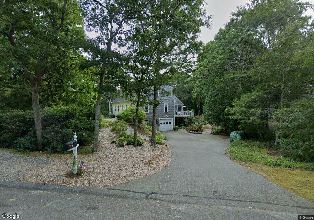
5 Gates Path Dennis, MA 02638
Dennis Village NeighborhoodEstimated Value: $791,000 - $1,138,000
3
Beds
4
Baths
2,551
Sq Ft
$380/Sq Ft
Est. Value
About This Home
This home is located at 5 Gates Path, Dennis, MA 02638 and is currently estimated at $970,018, approximately $380 per square foot. 5 Gates Path is a home located in Barnstable County with nearby schools including Dennis-Yarmouth Regional High School.
Ownership History
Date
Name
Owned For
Owner Type
Purchase Details
Closed on
Aug 20, 2014
Sold by
Bennett William F and Bennett Diane M
Bought by
Bennett Ft and Masciadrelli Christina
Current Estimated Value
Purchase Details
Closed on
Jun 4, 2004
Sold by
Haskell Bruce T
Bought by
Bennett Diane M and Bennett William F
Home Financials for this Owner
Home Financials are based on the most recent Mortgage that was taken out on this home.
Original Mortgage
$356,000
Interest Rate
5.94%
Mortgage Type
Purchase Money Mortgage
Create a Home Valuation Report for This Property
The Home Valuation Report is an in-depth analysis detailing your home's value as well as a comparison with similar homes in the area
Home Values in the Area
Average Home Value in this Area
Purchase History
| Date | Buyer | Sale Price | Title Company |
|---|---|---|---|
| Bennett Ft | -- | -- | |
| Bennett Diane M | $445,000 | -- |
Source: Public Records
Mortgage History
| Date | Status | Borrower | Loan Amount |
|---|---|---|---|
| Previous Owner | Bennett Diane M | $356,000 |
Source: Public Records
Tax History
| Year | Tax Paid | Tax Assessment Tax Assessment Total Assessment is a certain percentage of the fair market value that is determined by local assessors to be the total taxable value of land and additions on the property. | Land | Improvement |
|---|---|---|---|---|
| 2025 | $3,576 | $825,800 | $192,000 | $633,800 |
| 2024 | $3,548 | $808,100 | $193,500 | $614,600 |
| 2023 | $3,432 | $734,900 | $175,900 | $559,000 |
| 2022 | $3,131 | $559,100 | $144,000 | $415,100 |
| 2021 | $15,945 | $470,400 | $141,200 | $329,200 |
| 2020 | $2,755 | $451,600 | $141,200 | $310,400 |
| 2019 | $2,647 | $429,000 | $152,300 | $276,700 |
| 2018 | $15,644 | $411,000 | $131,800 | $279,200 |
| 2017 | $2,528 | $411,000 | $131,800 | $279,200 |
| 2016 | $2,615 | $400,400 | $164,700 | $235,700 |
| 2015 | $2,616 | $408,800 | $164,700 | $244,100 |
| 2014 | $2,338 | $368,200 | $131,800 | $236,400 |
Source: Public Records
Map
Nearby Homes
- 32 Captain Walsh Dr
- 61 Terrace Hill Dr
- 58 Terrace Hill Dr
- 39 Whittier Dr
- 26 S West Dr
- 71 Grassy Pond Dr
- 16 Hazelwood Rd
- 68 Sea Meadow Dr
- 31 High Head Rd
- 35 Crown Grant Dr
- 52 Uncle Bobs Way
- 10 Uncle Bills Way
- 6 Thomas Ct
- 15 Signal Hill Dr
- 268 Main St
- 14 S Yarmouth Rd
- 276 Scargo Hill Rd
- 59 Main St Unit 7-3
- 59 Main St Unit 19-2
- 59 Route 6a Unit 9-2
- 5 Gates Point
- 9 Gates Path
- 671 Old Bass River Rd
- 683 Old Post Rd Unit 9
- 683 Old Post Rd Unit 26
- 683 Old Post Rd Unit 19
- 683 Old Post Rd Unit 12
- 683 Old Post Rd Unit U-30
- 683 Old Post Rd Unit U-28
- 683 Old Post Rd Unit 8
- 683 Old Post Rd Unit 31
- 683 Old Post Rd Unit 33
- 683 Old Post Rd Unit 6
- 683 Old Post Rd Unit A7
- 683 Old Post Rd Unit 23
- 683 Old Post Rd Unit 11
- 683 Old Post Rd Unit 5
- 683 Old Post Rd Unit 1
- 683 Old Post Rd Unit 18
- 683 Old Post Rd Unit 2
Your Personal Tour Guide
Ask me questions while you tour the home.