5 Leah Cir Methuen, MA 01844
The East End NeighborhoodEstimated Value: $443,000 - $493,000
2
Beds
2
Baths
1,292
Sq Ft
$358/Sq Ft
Est. Value
About This Home
This home is located at 5 Leah Cir, Methuen, MA 01844 and is currently estimated at $461,914, approximately $357 per square foot. 5 Leah Cir is a home located in Essex County with nearby schools including Methuen High School and Community Day Charter Public School - Gateway.
Ownership History
Date
Name
Owned For
Owner Type
Purchase Details
Closed on
Jul 15, 2002
Sold by
Heritage Hts Inc
Bought by
Bisaillon Leo P
Current Estimated Value
Home Financials for this Owner
Home Financials are based on the most recent Mortgage that was taken out on this home.
Original Mortgage
$150,000
Outstanding Balance
$59,570
Interest Rate
6.79%
Mortgage Type
Purchase Money Mortgage
Estimated Equity
$402,344
Purchase Details
Closed on
Jul 12, 2002
Sold by
Heritage Hts Inc
Bought by
Sciacca Torry J and Sciacca Barbara A
Home Financials for this Owner
Home Financials are based on the most recent Mortgage that was taken out on this home.
Original Mortgage
$150,000
Outstanding Balance
$59,570
Interest Rate
6.79%
Mortgage Type
Purchase Money Mortgage
Estimated Equity
$402,344
Create a Home Valuation Report for This Property
The Home Valuation Report is an in-depth analysis detailing your home's value as well as a comparison with similar homes in the area
Home Values in the Area
Average Home Value in this Area
Purchase History
| Date | Buyer | Sale Price | Title Company |
|---|---|---|---|
| Bisaillon Leo P | $220,000 | -- | |
| Sciacca Torry J | $220,000 | -- |
Source: Public Records
Mortgage History
| Date | Status | Borrower | Loan Amount |
|---|---|---|---|
| Open | Sciacca Torry J | $150,000 | |
| Closed | Sciacca Torry J | $15,000 |
Source: Public Records
Tax History
| Year | Tax Paid | Tax Assessment Tax Assessment Total Assessment is a certain percentage of the fair market value that is determined by local assessors to be the total taxable value of land and additions on the property. | Land | Improvement |
|---|---|---|---|---|
| 2025 | $4,288 | $405,300 | $0 | $405,300 |
| 2024 | $4,253 | $391,600 | $0 | $391,600 |
| 2023 | $4,132 | $353,200 | $0 | $353,200 |
| 2022 | $4,209 | $322,500 | $0 | $322,500 |
| 2021 | $3,884 | $294,500 | $0 | $294,500 |
| 2020 | $3,723 | $277,000 | $0 | $277,000 |
| 2019 | $3,766 | $265,400 | $0 | $265,400 |
| 2018 | $3,516 | $246,400 | $0 | $246,400 |
| 2017 | $3,459 | $236,100 | $0 | $236,100 |
| 2016 | $3,365 | $227,200 | $0 | $227,200 |
| 2015 | $3,192 | $218,600 | $0 | $218,600 |
Source: Public Records
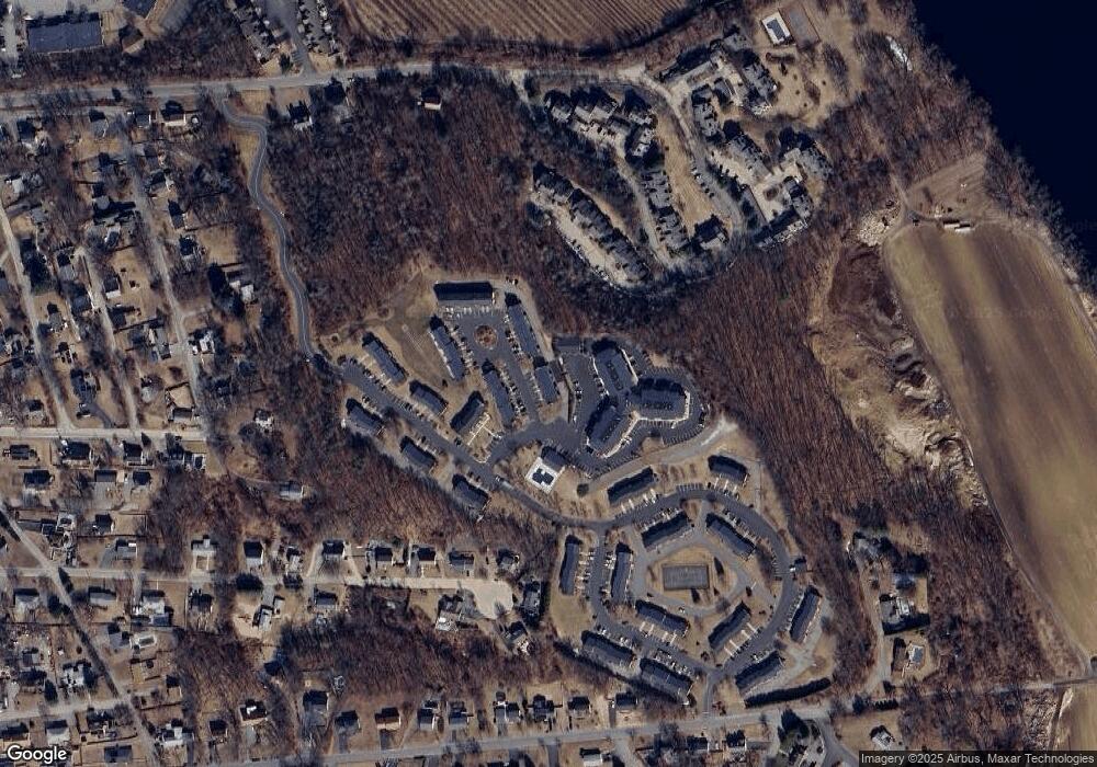
Map
Nearby Homes
- 31 Christopher Dr Unit 67
- 16 Christopher Dr Unit 38
- 45 Christopher Dr Unit 106
- 10 Fenwick Cir
- 27 Russell Farm Dr
- 29 Bradstreet Ave
- 179 Pleasant Valley St Unit F
- 2 Cross Rd Unit 2
- 51 Ford St Unit A
- 5 Pilgrim Cir Unit C
- 49 Meriline Ave
- 24 Farrwood Place
- 51 Stanton Way
- 183 Farrwood Dr
- 524 Merrimack St
- 86 Comet Rd
- 414 Farrwood Dr Unit 414
- 86 Anderson Dr
- 133 Pleasant Valley St
- 128 Pleasant Valley St
Your Personal Tour Guide
Ask me questions while you tour the home.