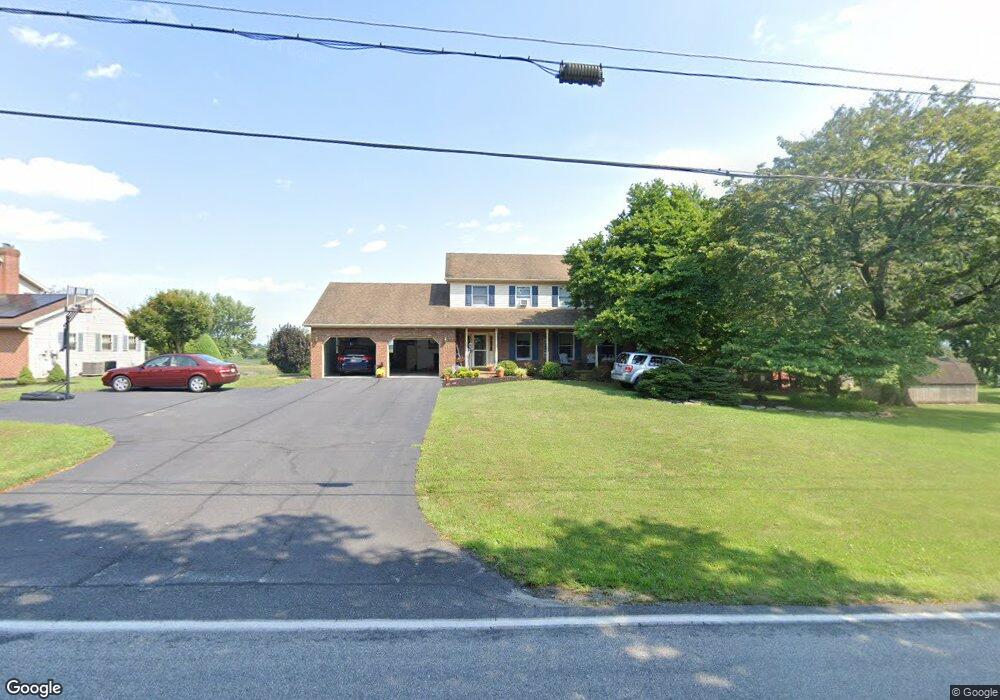
5 Littlestown Rd Unit 10 Littlestown, PA 17340
Estimated Value: $356,000 - $447,000
3
Beds
3
Baths
2,056
Sq Ft
$193/Sq Ft
Est. Value
About This Home
This home is located at 5 Littlestown Rd Unit 10, Littlestown, PA 17340 and is currently estimated at $397,039, approximately $193 per square foot. 5 Littlestown Rd Unit 10 is a home located in Adams County with nearby schools including Rolling Acres El School, Maple Avenue Middle School, and Littlestown Senior High School.
Ownership History
Date
Name
Owned For
Owner Type
Purchase Details
Closed on
Mar 31, 2026
Sold by
Barton Robin and Chrismer Terence P
Bought by
Barton Robin
Current Estimated Value
Purchase Details
Closed on
Apr 25, 1996
Bought by
Clabaugh Michael A
Create a Home Valuation Report for This Property
The Home Valuation Report is an in-depth analysis detailing your home's value as well as a comparison with similar homes in the area
Home Values in the Area
Average Home Value in this Area
Purchase History
| Date | Buyer | Sale Price | Title Company |
|---|---|---|---|
| Barton Robin | -- | None Listed On Document | |
| Clabaugh Michael A | -- | -- |
Source: Public Records
Tax History
| Year | Tax Paid | Tax Assessment Tax Assessment Total Assessment is a certain percentage of the fair market value that is determined by local assessors to be the total taxable value of land and additions on the property. | Land | Improvement |
|---|---|---|---|---|
| 2026 | $4,946 | $261,300 | $62,600 | $198,700 |
| 2025 | $4,946 | $261,300 | $62,600 | $198,700 |
| 2024 | $4,728 | $261,300 | $62,600 | $198,700 |
| 2023 | $4,634 | $261,300 | $62,600 | $198,700 |
| 2022 | $4,632 | $261,300 | $62,600 | $198,700 |
| 2021 | $4,468 | $261,300 | $62,600 | $198,700 |
| 2020 | $4,404 | $261,300 | $62,600 | $198,700 |
| 2019 | $4,310 | $261,300 | $62,600 | $198,700 |
| 2018 | $4,217 | $261,300 | $62,600 | $198,700 |
| 2017 | $4,071 | $261,300 | $62,600 | $198,700 |
| 2016 | -- | $261,300 | $62,600 | $198,700 |
| 2015 | -- | $261,300 | $62,600 | $198,700 |
| 2014 | -- | $261,300 | $62,600 | $198,700 |
Source: Public Records
Map
Nearby Homes
- 0 Locust Dr Unit PAAD2015910
- 162 Newark St
- 20 Union St Unit 190
- 117 Wheaton Dr Unit 119
- 41 Smith Cir
- 64 N Gala Unit 400
- 315 N Queen St
- 41 Wheaton Dr Unit 82
- 4 Straw Ct Unit 166
- 67 Stedtle Ct
- 19 Stayman Way Unit 64
- 23 Park Ave
- 102 N Queen St
- 43 Ashfield Dr Unit 14
- 24 Ashfield Dr Unit 48
- 678 Littlestown Rd Unit 1
- 153 Stoners Cir
- 535 Lumber St
- 54 Patrick Ave
- 559 Lumber St
- 27 Littlestown Rd Unit 9
- 1810 White Hall Rd
- 20 Littlestown Rd
- 20 Basehoar School Rd Unit 11
- 31 Littlestown Rd Unit 8
- 000 Littlestown Rd
- 000000 Littlestown Rd
- 1 Basehoar School Rd
- 34 Basehoar School Rd
- 1844 White Hall Rd
- 45 Littlestown Rd Unit 7
- 21 Basehoar School Rd
- 35 Basehoar School Rd
- 54 Basehoar School Rd Unit 13
- 59 Littlestown Rd Unit 6
- 1864 White Hall Rd
- 1864 White Hall Road B
- 70 Basehoar School Rd Unit 14
- 71 Littlestown Rd
- 1872 White Hall Rd
Your Personal Tour Guide
Ask me questions while you tour the home.