5 Pine Ridge Rd Southbridge, MA 01550
Estimated Value: $352,652 - $414,000
3
Beds
2
Baths
1,574
Sq Ft
$247/Sq Ft
Est. Value
About This Home
This home is located at 5 Pine Ridge Rd, Southbridge, MA 01550 and is currently estimated at $388,163, approximately $246 per square foot. 5 Pine Ridge Rd is a home located in Worcester County with nearby schools including Trinity Catholic Academy and ViewPoint Christian Academy.
Ownership History
Date
Name
Owned For
Owner Type
Purchase Details
Closed on
Aug 7, 1980
Bought by
Whitney Richard B and Whitney Margaret A
Current Estimated Value
Create a Home Valuation Report for This Property
The Home Valuation Report is an in-depth analysis detailing your home's value as well as a comparison with similar homes in the area
Home Values in the Area
Average Home Value in this Area
Purchase History
| Date | Buyer | Sale Price | Title Company |
|---|---|---|---|
| Whitney Richard B | $54,000 | -- |
Source: Public Records
Mortgage History
| Date | Status | Borrower | Loan Amount |
|---|---|---|---|
| Closed | Whitney Richard B | $49,500 | |
| Closed | Whitney Richard B | $52,000 | |
| Closed | Whitney Richard B | $53,000 |
Source: Public Records
Tax History
| Year | Tax Paid | Tax Assessment Tax Assessment Total Assessment is a certain percentage of the fair market value that is determined by local assessors to be the total taxable value of land and additions on the property. | Land | Improvement |
|---|---|---|---|---|
| 2025 | $4,981 | $339,800 | $44,200 | $295,600 |
| 2024 | $5,101 | $334,300 | $36,800 | $297,500 |
| 2023 | $4,888 | $308,600 | $36,800 | $271,800 |
| 2022 | $4,631 | $258,700 | $31,300 | $227,400 |
| 2021 | $4,397 | $226,200 | $31,300 | $194,900 |
| 2020 | $4,206 | $215,900 | $31,300 | $184,600 |
| 2018 | $4,026 | $194,000 | $31,300 | $162,700 |
| 2017 | $3,770 | $183,300 | $31,300 | $152,000 |
| 2016 | $3,672 | $181,700 | $36,100 | $145,600 |
| 2015 | $3,437 | $168,800 | $36,100 | $132,700 |
| 2014 | $3,190 | $162,400 | $36,100 | $126,300 |
Source: Public Records
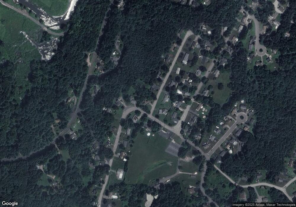
Map
Nearby Homes
- 21 Pine Ridge Rd
- 548 Dennison Dr
- 2 Pine Ridge Rd
- 18 Pine Ridge Rd
- 555 Dennison Dr
- 529 Dennison Dr
- 560 Dennison Dr
- 35 Pine Ridge Rd
- 498 Dennison Dr
- 32 Pine Ridge Rd
- 488 Dennison Dr
- 572 Dennison Dr
- 480 Dennison Dr
- 582 Dennison Dr
- 575 Dennison Dr
- 40 Pine Ridge Rd
- 47 Pine Ridge Rd
- 470 Dennison Dr
- 499 Dennison Dr
- 507 Dennison Dr
Your Personal Tour Guide
Ask me questions while you tour the home.