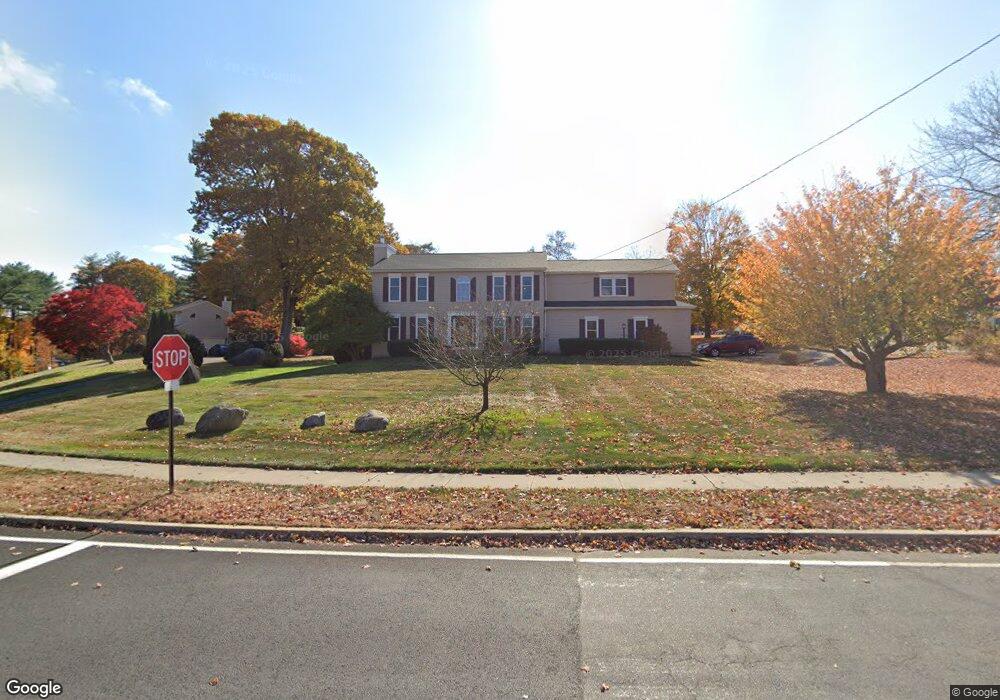
5 Pinehurst Rd Bristol, CT 06010
North Bristol NeighborhoodEstimated Value: $557,000 - $742,000
4
Beds
3
Baths
2,748
Sq Ft
$224/Sq Ft
Est. Value
About This Home
This home is located at 5 Pinehurst Rd, Bristol, CT 06010 and is currently estimated at $614,997, approximately $223 per square foot. 5 Pinehurst Rd is a home located in Hartford County with nearby schools including West Bristol Sch, Bristol Central High School, and Immanuel Lutheran School.
Ownership History
Date
Name
Owned For
Owner Type
Purchase Details
Closed on
Jan 11, 1996
Sold by
Mahen Robin
Bought by
Weber Kurt and Weber Patricia
Current Estimated Value
Home Financials for this Owner
Home Financials are based on the most recent Mortgage that was taken out on this home.
Original Mortgage
$187,200
Interest Rate
6.63%
Mortgage Type
Unknown
Create a Home Valuation Report for This Property
The Home Valuation Report is an in-depth analysis detailing your home's value as well as a comparison with similar homes in the area
Home Values in the Area
Average Home Value in this Area
Purchase History
| Date | Buyer | Sale Price | Title Company |
|---|---|---|---|
| Weber Kurt | $234,000 | -- |
Source: Public Records
Mortgage History
| Date | Status | Borrower | Loan Amount |
|---|---|---|---|
| Open | Weber Kurt | $187,000 | |
| Closed | Weber Kurt | $45,000 | |
| Closed | Weber Kurt | $25,000 | |
| Closed | Weber Kurt | $187,200 |
Source: Public Records
Tax History
| Year | Tax Paid | Tax Assessment Tax Assessment Total Assessment is a certain percentage of the fair market value that is determined by local assessors to be the total taxable value of land and additions on the property. | Land | Improvement |
|---|---|---|---|---|
| 2025 | $10,331 | $306,110 | $59,920 | $246,190 |
| 2024 | $9,750 | $306,110 | $59,920 | $246,190 |
| 2023 | $9,008 | $296,800 | $59,920 | $236,880 |
| 2022 | $8,241 | $214,900 | $46,270 | $168,630 |
| 2021 | $8,241 | $214,900 | $46,270 | $168,630 |
| 2020 | $8,241 | $214,900 | $46,270 | $168,630 |
| 2019 | $8,177 | $214,900 | $46,270 | $168,630 |
| 2018 | $7,926 | $214,900 | $46,270 | $168,630 |
| 2017 | $7,574 | $210,210 | $66,080 | $144,130 |
| 2016 | $7,574 | $210,210 | $66,080 | $144,130 |
| 2015 | $7,275 | $210,210 | $66,080 | $144,130 |
| 2014 | $7,275 | $210,210 | $66,080 | $144,130 |
Source: Public Records
Map
Nearby Homes
- 439 James P Casey Rd
- 35 James P Casey Rd
- 90 Battle St
- 1970 Perkins St
- 62 (Lot 13-1) James P Casey Rd
- 38 Eastwood Rd
- 735 Matthews St
- 0 Hart St Unit 170255530
- 40 Matthews St Unit LOT 43
- 40 Matthews St Unit 30
- 820 Matthews St Unit 19
- 18 Putnam St
- 79 N Pond St
- 26 Martin Rd
- 35 Lardner Rd
- 2 Gino Dr
- 380 Burlington Ave
- 62 Gino Dr
- 33 Wiegert Way
- 565 Clark Ave Unit 47
- 0 Maureen Dr Unit G10010223
- 21 Pinehurst Rd
- 10 S Pinehurst Rd S
- 20 Pinehurst Rd
- 375 Perkins St
- 20 Maureen Dr
- 415 Perkins St
- 34 Pinehurst Rd
- 421 Perkins St
- 27 Maureen Dr
- 353 Perkins St
- 34 Maureen Dr
- 47 Maureen Dr
- 30 Nursery Cir
- 48 Maureen Dr
- 50 Pinehurst Rd
- 339 Perkins St
- 18 Nursery Cir
- 435 Perkins St
- 25 Nursery Cir
Your Personal Tour Guide
Ask me questions while you tour the home.