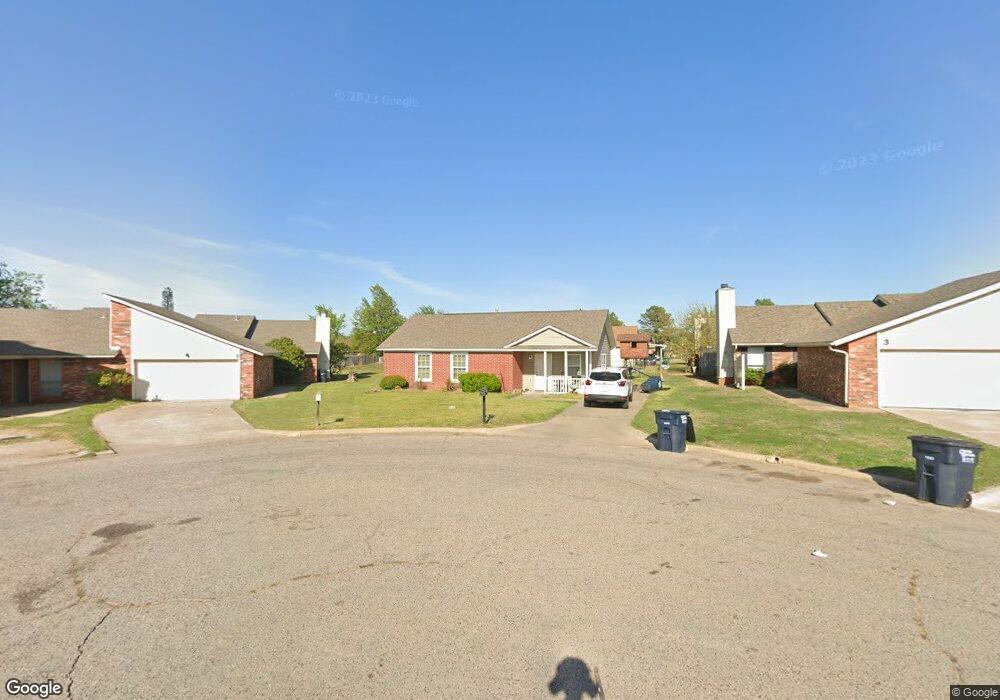
5 Shamrock Cir Shawnee, OK 74804
Estimated Value: $141,000 - $156,897
2
Beds
1
Bath
1,036
Sq Ft
$142/Sq Ft
Est. Value
About This Home
This home is located at 5 Shamrock Cir, Shawnee, OK 74804 and is currently estimated at $147,474, approximately $142 per square foot. 5 Shamrock Cir is a home with nearby schools including Will Rogers Elementary School, Shawnee Middle School, and Shawnee High School.
Ownership History
Date
Name
Owned For
Owner Type
Purchase Details
Closed on
Mar 6, 2012
Sold by
Habitat For Humanity Of Shawnee Inc
Bought by
Mcelfresh Ceara and Kendall Kellie
Current Estimated Value
Home Financials for this Owner
Home Financials are based on the most recent Mortgage that was taken out on this home.
Original Mortgage
$78,172
Interest Rate
3.92%
Mortgage Type
Seller Take Back
Purchase Details
Closed on
Dec 30, 1992
Sold by
Noren Don W
Bought by
Noren Merillyn
Create a Home Valuation Report for This Property
The Home Valuation Report is an in-depth analysis detailing your home's value as well as a comparison with similar homes in the area
Purchase History
We collect this data history from publicly available records. To have your information removed, we recommend requesting removal directly through your county’s website.
| Date | Buyer | Sale Price | Title Company |
|---|---|---|---|
| Mcelfresh Ceara | -- | None Available | |
| Noren Merillyn | $22,500 | -- |
Source: Public Records
Mortgage History
We collect this data history from publicly available records. To have your information removed, we recommend requesting removal directly through your county’s website.
| Date | Status | Borrower | Loan Amount |
|---|---|---|---|
| Previous Owner | Mcelfresh Ceara | $78,172 |
Source: Public Records
Tax History
| Year | Tax Paid | Tax Assessment Tax Assessment Total Assessment is a certain percentage of the fair market value that is determined by local assessors to be the total taxable value of land and additions on the property. | Land | Improvement |
|---|---|---|---|---|
| 2025 | $1,202 | $12,250 | $480 | $11,770 |
| 2024 | $1,161 | $11,667 | $480 | $11,187 |
| 2023 | $1,161 | $11,112 | $480 | $10,632 |
| 2022 | $1,140 | $11,112 | $480 | $10,632 |
| 2021 | $1,120 | $11,112 | $480 | $10,632 |
| 2020 | $1,135 | $11,231 | $480 | $10,751 |
| 2019 | $1,175 | $11,256 | $476 | $10,780 |
| 2018 | $1,097 | $10,720 | $451 | $10,269 |
| 2017 | $1,030 | $10,210 | $431 | $9,779 |
| 2016 | $992 | $9,724 | $409 | $9,315 |
| 2015 | $926 | $9,261 | $363 | $8,898 |
| 2014 | $882 | $8,820 | $600 | $8,220 |
Source: Public Records
Map
Nearby Homes
- 123 Meadows Ln
- 312 Traditional Way Ct
- 3901 N Kickapoo Ave Unit 26
- 4002 N Chapman Ave
- 701 W 39th St
- 000 45th and Union Lot 1
- 000 45th and Union Lot 3
- 000 45th and Union Lot 2
- 000 45th and Union Lot 6
- 000 45th and Union Lot 5
- 000 45th and Union Lot 4
- 000 45th and Union Lot 7
- 29 Timber Creek Way
- 41 Timber Creek Dr
- 3003 N Bell Ave
- 16 Red Rock Rd
- 0 N Market & 32nd St Unit OKC1228465
- 16 N Tawana Dr
- 13 Robby Rd
- 4600 Red Bird Rd
- 117 Meadows Ln
- 119 Meadows Ln
- 115 Meadows Ln
- 9 Shamrock Cir
- 121 Meadows Ln
- 113 Meadows Ln
- 6 Emerald Ct
- 120 Meadows Ln
- 116 Meadows Ln
- 111 Meadows Ln
- 114 Meadows Ln
- 2-4 Emerald Ct Unit 4 EMERALD
- 124 Meadows Ln
- 2 Emerald Ct
- 109 Meadows Ln
- 112 Meadows Ln
- 125 Meadows Ln
- 132 Meadows Ln
- 2 Shamrock Cir
- 110 Meadows Ln
Your Personal Tour Guide
Ask me questions while you tour the home.