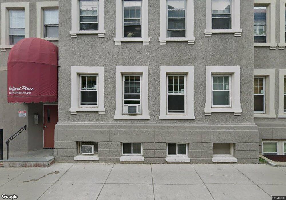
5 Spofford Rd Unit 14 Allston, MA 02134
Commonwealth NeighborhoodEstimated Value: $348,000 - $375,451
1
Bed
1
Bath
560
Sq Ft
$649/Sq Ft
Est. Value
About This Home
This home is located at 5 Spofford Rd Unit 14, Allston, MA 02134 and is currently estimated at $363,613, approximately $649 per square foot. 5 Spofford Rd Unit 14 is a home located in Suffolk County with nearby schools including Match Charter Public School, Boston Green Academy Horace Mann Charter School, and St Joseph Preparatory High School.
Ownership History
Date
Name
Owned For
Owner Type
Purchase Details
Closed on
Dec 2, 1998
Sold by
Hassman Ursula G
Bought by
Dery George
Current Estimated Value
Home Financials for this Owner
Home Financials are based on the most recent Mortgage that was taken out on this home.
Original Mortgage
$59,600
Outstanding Balance
$13,421
Interest Rate
6.68%
Mortgage Type
Purchase Money Mortgage
Estimated Equity
$350,192
Create a Home Valuation Report for This Property
The Home Valuation Report is an in-depth analysis detailing your home's value as well as a comparison with similar homes in the area
Home Values in the Area
Average Home Value in this Area
Purchase History
| Date | Buyer | Sale Price | Title Company |
|---|---|---|---|
| Dery George | $74,500 | -- |
Source: Public Records
Mortgage History
| Date | Status | Borrower | Loan Amount |
|---|---|---|---|
| Open | Dery George | $59,600 |
Source: Public Records
Tax History
| Year | Tax Paid | Tax Assessment Tax Assessment Total Assessment is a certain percentage of the fair market value that is determined by local assessors to be the total taxable value of land and additions on the property. | Land | Improvement |
|---|---|---|---|---|
| 2025 | $3,970 | $342,800 | $0 | $342,800 |
| 2024 | $3,777 | $346,500 | $0 | $346,500 |
| 2023 | $3,721 | $346,500 | $0 | $346,500 |
| 2022 | $3,557 | $326,900 | $0 | $326,900 |
| 2021 | $3,488 | $326,900 | $0 | $326,900 |
| 2020 | $3,062 | $290,000 | $0 | $290,000 |
| 2019 | $2,997 | $284,300 | $0 | $284,300 |
| 2018 | $2,786 | $265,800 | $0 | $265,800 |
| 2017 | $2,607 | $246,200 | $0 | $246,200 |
| 2016 | $2,484 | $225,800 | $0 | $225,800 |
| 2015 | $2,428 | $200,500 | $0 | $200,500 |
| 2014 | $2,292 | $182,200 | $0 | $182,200 |
Source: Public Records
Map
Nearby Homes
- 5 Spofford Rd Unit 17
- 30 Glenville Ave Unit 1
- 39 Glenville Ave Unit 14
- 39 Glenville Ave Unit 71
- 1263 Commonwealth Ave Unit 4
- 18 Glenville Ave Unit 3A
- 17 Radcliffe Rd Unit 10
- 78 Glenville Ave Unit 7
- 84 Linden St
- 85 Brainerd Rd Unit 415
- 16-22 Reedsdale St
- 24 Chester St
- 10 Scottfield Rd Unit 2
- 10 Scottfield Rd Unit B34
- 1161 Commonwealth Ave Unit 8
- 1404 Commonwealth Ave Unit 17
- 1408 Commonwealth Ave Unit 14
- 245 Kelton St Unit 11
- 239 Kelton St Unit 41
- 239 Kelton St Unit 11
- 5 Spofford Rd Unit 15
- 5 Spofford Rd Unit 11
- 5 Spofford Rd Unit 8
- 5 Spofford Rd Unit 7
- 5 Spofford Rd
- 5 Spofford Rd Unit 3
- 5 Spofford Rd Unit 2
- 5 Spofford Rd Unit 16
- 5 Spofford Rd Unit 12
- 5 Spofford Rd Unit 10
- 5 Spofford Rd Unit 9
- 5 Spofford Rd Unit 6
- 5 Spofford Rd Unit 4
- 5 Spofford Rd Unit 1
- 5 Spofford Rd Unit 6,5
- 5 Spofford Rd Unit 5 Spofford Rd., 16
- 5 Spofford Rd
- 5 Spofford Rd Unit 5
- 5 Spofford Rd Unit eight
- 35 Glenville Ave
Your Personal Tour Guide
Ask me questions while you tour the home.