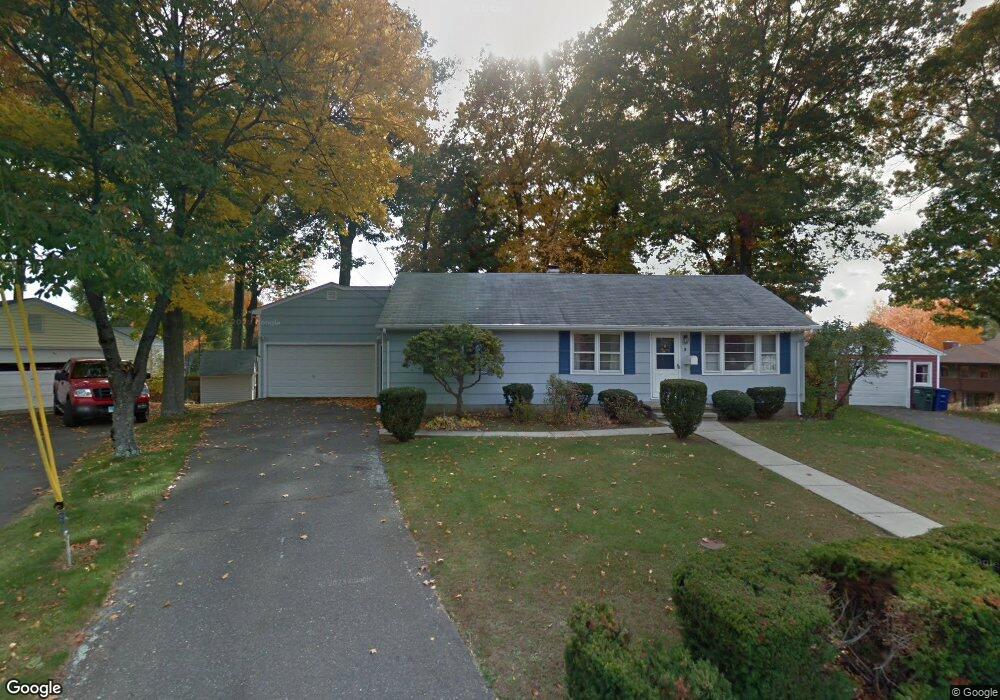
5 Tarinelli Cir Bridgeport, CT 06606
North End NeighborhoodEstimated Value: $371,000 - $415,000
About This Home
This home is located at 5 Tarinelli Cir, Bridgeport, CT 06606 and is currently estimated at $402,547, approximately $364 per square foot. 5 Tarinelli Cir is a home located in Fairfield County with nearby schools including John Winthrop School, Central High School, and St Andrew School.
Ownership History
We collect this data history from publicly available records. To have your information removed, we recommend requesting removal directly through your county’s website.
Purchase Details
Purchase Details
Purchase Details
Home Financials for this Owner
Home Financials are based on the most recent Mortgage that was taken out on this home.Home Values in the Area
Average Home Value in this Area
Purchase History
We collect this data history from publicly available records. To have your information removed, we recommend requesting removal directly through your county’s website.
| Date | Buyer | Sale Price | Title Company |
|---|---|---|---|
| -- | -- | ||
| -- | -- | ||
| $150,000 | -- | ||
| $150,000 | -- | ||
| $87,500 | -- | ||
| $87,500 | -- |
Mortgage History
We collect this data history from publicly available records. To have your information removed, we recommend requesting removal directly through your county’s website.
| Date | Status | Borrower | Loan Amount |
|---|---|---|---|
| Previous Owner | $48,000 | ||
| Previous Owner | $50,000 |
Tax History
We collect this data history from publicly available records. To have your information removed, we recommend requesting removal directly through your county’s website.
| Year | Tax Paid | Tax Assessment Tax Assessment Total Assessment is a certain percentage of the fair market value that is determined by local assessors to be the total taxable value of land and additions on the property. | Land | Improvement |
|---|---|---|---|---|
| 2025 | $6,311 | $145,240 | $85,880 | $59,360 |
| 2024 | $6,311 | $145,240 | $85,880 | $59,360 |
| 2023 | $6,311 | $145,240 | $85,880 | $59,360 |
| 2022 | $6,311 | $145,240 | $85,880 | $59,360 |
| 2021 | $6,311 | $145,240 | $85,880 | $59,360 |
| 2020 | $6,391 | $118,380 | $67,280 | $51,100 |
| 2019 | $6,391 | $118,380 | $67,280 | $51,100 |
| 2018 | $6,436 | $118,380 | $67,280 | $51,100 |
| 2017 | $6,436 | $118,380 | $67,280 | $51,100 |
| 2016 | $6,436 | $118,380 | $67,280 | $51,100 |
| 2015 | $5,720 | $135,540 | $66,160 | $69,380 |
| 2014 | $5,720 | $135,540 | $66,160 | $69,380 |
Map
- 170 Marilyn Dr
- 74 Leonard Dr
- 69 Seaver Cir
- 63 Richfield Rd
- 3850 Old Town Rd
- 217 Macon Dr
- 11 Marcy Rd
- 252 Bear Paw Rd
- 3370 Madison Ave Unit 10B
- 4 Walnut Ave
- 64 Corn Tassel Rd
- 472 Anton St
- 105 Bear Paw Rd
- 18 Ridgebury Dr
- 50 Greenhouse Rd Unit 26B
- 50 Greenhouse Rd Unit 49C
- 50 Greenhouse Rd Unit 41D
- 50 Greenhouse Rd Unit 33C
- 15 Cherry Hill Dr Unit 2A
- 185 Cherry Hill Dr Unit 1A
Ask me questions while you tour the home.