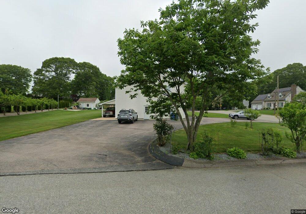
50 Apache Dr Westerly, RI 02891
Estimated Value: $757,000 - $1,060,000
4
Beds
3
Baths
4,302
Sq Ft
$212/Sq Ft
Est. Value
About This Home
This home is located at 50 Apache Dr, Westerly, RI 02891 and is currently estimated at $911,076, approximately $211 per square foot. 50 Apache Dr is a home located in Washington County with nearby schools including Westerly High School and St. Michael School.
Ownership History
Date
Name
Owned For
Owner Type
Purchase Details
Closed on
Oct 9, 2020
Sold by
Decaro Giuseppe and Decaro Immacolata
Bought by
G & Immacolata Decaro Irt
Current Estimated Value
Purchase Details
Closed on
Jul 14, 1999
Sold by
Celico Giorgio and Celico Angela
Bought by
Decaro Giuseppe and Decaro Immacolata
Create a Home Valuation Report for This Property
The Home Valuation Report is an in-depth analysis detailing your home's value as well as a comparison with similar homes in the area
Home Values in the Area
Average Home Value in this Area
Purchase History
| Date | Buyer | Sale Price | Title Company |
|---|---|---|---|
| G & Immacolata Decaro Irt | -- | None Available | |
| Decaro Giuseppe | $30,000 | -- |
Source: Public Records
Mortgage History
| Date | Status | Borrower | Loan Amount |
|---|---|---|---|
| Previous Owner | Decaro Giuseppe | $200,000 | |
| Previous Owner | Decaro Giuseppe | $120,000 |
Source: Public Records
Tax History
| Year | Tax Paid | Tax Assessment Tax Assessment Total Assessment is a certain percentage of the fair market value that is determined by local assessors to be the total taxable value of land and additions on the property. | Land | Improvement |
|---|---|---|---|---|
| 2025 | $6,380 | $897,300 | $205,900 | $691,400 |
| 2024 | $5,819 | $593,200 | $147,200 | $446,000 |
| 2023 | $5,707 | $593,200 | $147,200 | $446,000 |
| 2022 | $5,671 | $593,200 | $147,200 | $446,000 |
| 2021 | $5,759 | $499,900 | $128,000 | $371,900 |
| 2020 | $5,654 | $499,900 | $128,000 | $371,900 |
| 2019 | $5,599 | $499,900 | $128,000 | $371,900 |
| 2018 | $5,222 | $439,600 | $128,000 | $311,600 |
| 2017 | $5,095 | $439,600 | $128,000 | $311,600 |
| 2016 | $5,135 | $439,600 | $128,000 | $311,600 |
| 2015 | $4,939 | $456,500 | $136,700 | $319,800 |
| 2014 | $4,857 | $456,500 | $136,700 | $319,800 |
Source: Public Records
Map
Nearby Homes
- 2 Marichris Dr
- 0 Iroquois Ave
- 19 Apache Dr Unit F
- 19 Apache Dr Unit 19C
- 12 Batterson Ave
- 17 Apache Dr Unit G
- 12 Apache Dr Unit A
- 5 Marion St
- 52 Bellevue Ave
- 7 Schilke Dr
- 199 High St
- 17 West St Unit 3
- 7 Dixon St
- 14 George St
- 16 Spring St
- 19 Fieldstone Way
- 25 School St Unit 2
- 55 Pleasant St
- 3 Columbus Ave
- 21 Nichols Ln
Your Personal Tour Guide
Ask me questions while you tour the home.