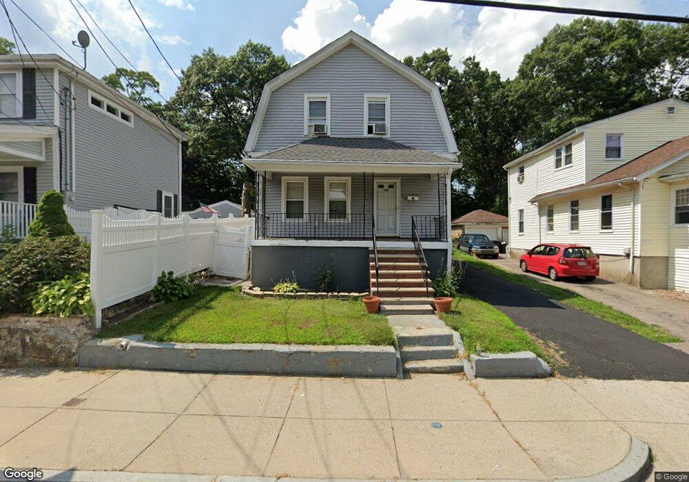
50 Blake St Mattapan, MA 02126
Hyde Park NeighborhoodEstimated Value: $505,000 - $618,000
3
Beds
1
Bath
1,150
Sq Ft
$493/Sq Ft
Est. Value
About This Home
This home is located at 50 Blake St, Mattapan, MA 02126 and is currently estimated at $566,889, approximately $492 per square foot. 50 Blake St is a home located in Suffolk County with nearby schools including Boston Preparatory Charter Public School and Berea Sda Academy.
Ownership History
Date
Name
Owned For
Owner Type
Purchase Details
Closed on
Jul 9, 1992
Sold by
Boucher Catherine T
Bought by
Beaumont Audrey
Current Estimated Value
Create a Home Valuation Report for This Property
The Home Valuation Report is an in-depth analysis detailing your home's value as well as a comparison with similar homes in the area
Home Values in the Area
Average Home Value in this Area
Purchase History
We collect this data history from publicly available records. To have your information removed, we recommend requesting removal directly through your county’s website.
| Date | Buyer | Sale Price | Title Company |
|---|---|---|---|
| Beaumont Audrey | $88,000 | -- |
Source: Public Records
Mortgage History
We collect this data history from publicly available records. To have your information removed, we recommend requesting removal directly through your county’s website.
| Date | Status | Borrower | Loan Amount |
|---|---|---|---|
| Open | Beaumont Audrey | $50,000 | |
| Open | Beaumont Audrey | $108,000 | |
| Closed | Beaumont Audrey | $108,000 |
Source: Public Records
Tax History
| Year | Tax Paid | Tax Assessment Tax Assessment Total Assessment is a certain percentage of the fair market value that is determined by local assessors to be the total taxable value of land and additions on the property. | Land | Improvement |
|---|---|---|---|---|
| 2025 | $5,807 | $501,500 | $143,500 | $358,000 |
| 2024 | $4,756 | $436,300 | $135,900 | $300,400 |
| 2023 | $4,339 | $404,000 | $125,900 | $278,100 |
| 2022 | $4,107 | $377,500 | $117,600 | $259,900 |
| 2021 | $3,698 | $346,600 | $113,100 | $233,500 |
| 2020 | $3,556 | $336,700 | $108,900 | $227,800 |
| 2019 | $3,207 | $304,300 | $87,800 | $216,500 |
| 2018 | $3,036 | $289,700 | $87,800 | $201,900 |
| 2017 | $2,816 | $265,900 | $87,800 | $178,100 |
| 2016 | $2,759 | $250,800 | $87,800 | $163,000 |
| 2015 | $2,860 | $236,200 | $85,300 | $150,900 |
| 2014 | $2,746 | $218,300 | $85,300 | $133,000 |
Source: Public Records
Map
Nearby Homes
- 23 Taunton Ave
- 25 Ridlon Rd
- 3 Rock Rd
- 18 Ralston Rd
- 39-41 Suncrest Rd
- 623 Cummins Hwy Unit A
- 623 Cummins Hwy Unit B
- 85 Victoria Heights Rd
- 58 Victoria Heights Rd
- 23 Victoria Heights Rd
- 645 River St
- 640 River St
- 38 Monponset St
- 770 Cummins Hwy Unit 1
- 770 Cummins Hwy Unit 22
- 18 Lexington Ave
- 28 Riverside Square
- 700 Metropolitan Ave
- 704 Metropolitan Ave
- 1008-1010 River St Unit 1
Your Personal Tour Guide
Ask me questions while you tour the home.