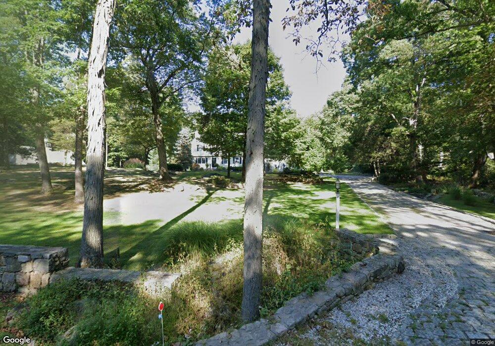
50 Deforest Rd Wilton, CT 06897
Estimated Value: $1,493,000 - $1,745,000
About This Home
This home is located at 50 Deforest Rd, Wilton, CT 06897 and is currently estimated at $1,577,220, approximately $441 per square foot. 50 Deforest Rd is a home located in Fairfield County with nearby schools including Miller-Driscoll School, Cider Mill School, and Middlebrook School.
Ownership History
We collect this data history from publicly available records. To have your information removed, we recommend requesting removal directly through your county’s website.
Purchase Details
Home Financials for this Owner
Home Financials are based on the most recent Mortgage that was taken out on this home.Purchase Details
Home Values in the Area
Average Home Value in this Area
Purchase History
We collect this data history from publicly available records. To have your information removed, we recommend requesting removal directly through your county’s website.
| Date | Buyer | Sale Price | Title Company |
|---|---|---|---|
| $419,000 | -- | ||
| $370,000 | -- |
Mortgage History
We collect this data history from publicly available records. To have your information removed, we recommend requesting removal directly through your county’s website.
| Date | Status | Borrower | Loan Amount |
|---|---|---|---|
| Open | $665,000 | ||
| Closed | $500,000 | ||
| Closed | $245,000 | ||
| Closed | $335,000 |
Tax History
We collect this data history from publicly available records. To have your information removed, we recommend requesting removal directly through your county’s website.
| Year | Tax Paid | Tax Assessment Tax Assessment Total Assessment is a certain percentage of the fair market value that is determined by local assessors to be the total taxable value of land and additions on the property. | Land | Improvement |
|---|---|---|---|---|
| 2025 | $18,693 | $765,800 | $302,960 | $462,840 |
| 2024 | $18,333 | $765,800 | $302,960 | $462,840 |
| 2023 | $16,650 | $569,030 | $289,730 | $279,300 |
| 2022 | $16,064 | $569,030 | $289,730 | $279,300 |
| 2021 | $15,859 | $569,030 | $289,730 | $279,300 |
| 2020 | $15,626 | $569,030 | $289,730 | $279,300 |
| 2019 | $16,240 | $569,030 | $289,730 | $279,300 |
| 2018 | $16,203 | $574,770 | $305,200 | $269,570 |
| 2017 | $15,961 | $574,770 | $305,200 | $269,570 |
| 2016 | $15,714 | $574,770 | $305,200 | $269,570 |
| 2015 | $15,421 | $574,770 | $305,200 | $269,570 |
| 2014 | $15,237 | $574,770 | $305,200 | $269,570 |
Map
- 18 Forest Ln
- 45 Keelers Ridge Rd
- 137 Linden Tree Rd
- 109 Signal Hill Rd
- 10 Woodhill Rd
- 279 Cheesespring Rd
- 45 Ryders Ln
- 31 Vista Rd
- 0 Canaan Cir
- 17 Danforth Dr
- 1 Canaan Cir
- 94 Vista Rd
- 91 Lantern Ridge Rd
- 160 Lantern Ridge Rd
- 86 Middlebrook Farm Rd
- 55 Tanners Dr
- 245 Benedict Hill Rd
- 16 Middlebrook Ln
- 599 N Wilton Rd
- 610 Cheese Spring Rd
- 42 Deforest Rd
- 56 Deforest Rd
- 64 Deforest Rd
- 43 Deforest Rd
- 32 Deforest Rd
- 68 Deforest Rd
- 76 Deforest Rd
- 65 Deforest Rd
- 31 Deforest Rd
- 26 Deforest Rd
- 45 Deforest Rd
- 47 Deforest Rd
- 21 Linden Tree Rd
- 72 Deforest Rd
- 82 Deforest Rd
- 19 Deforest Rd
- 75 Deforest Rd
- 37 Linden Tree Rd
- 31 Linden Tree Rd
- 70 Deforest Rd
Ask me questions while you tour the home.