Estimated Value: $115,847
Studio
--
Bath
--
Sq Ft
5.4
Acres Lot
About This Home
This home is located at 50 E Wyatt Ln, Union, WA 98592 and is currently estimated at $115,847. 50 E Wyatt Ln is a home located in Mason County with nearby schools including Hood Canal Elementary/Junior High School.
Ownership History
Date
Name
Owned For
Owner Type
Purchase Details
Closed on
Jun 21, 2020
Sold by
South Shore Enterprises Llc
Bought by
May Luther Cody and May Danielle
Current Estimated Value
Home Financials for this Owner
Home Financials are based on the most recent Mortgage that was taken out on this home.
Original Mortgage
$80,000
Outstanding Balance
$70,914
Interest Rate
3.2%
Mortgage Type
New Conventional
Estimated Equity
$44,933
Purchase Details
Closed on
Nov 2, 2019
Sold by
Nelson Leonard Lee and Nelson Nona Ruth
Bought by
South Shore Enterprises Llc
Create a Home Valuation Report for This Property
The Home Valuation Report is an in-depth analysis detailing your home's value as well as a comparison with similar homes in the area
Purchase History
| Date | Buyer | Sale Price | Title Company |
|---|---|---|---|
| May Luther Cody | $82,000 | Mason County Title Co | |
| South Shore Enterprises Llc | $74,719 | Mason County Title Co |
Source: Public Records
Mortgage History
| Date | Status | Borrower | Loan Amount |
|---|---|---|---|
| Open | May Luther Cody | $80,000 |
Source: Public Records
Tax History
| Year | Tax Paid | Tax Assessment Tax Assessment Total Assessment is a certain percentage of the fair market value that is determined by local assessors to be the total taxable value of land and additions on the property. | Land | Improvement |
|---|---|---|---|---|
| 2025 | $866 | $124,250 | $121,750 | $2,500 |
| 2023 | $866 | $110,440 | $107,940 | $2,500 |
| 2022 | $669 | $69,960 | $67,460 | $2,500 |
| 2021 | $715 | $69,960 | $67,460 | $2,500 |
| 2020 | $1,288 | $67,995 | $65,495 | $2,500 |
| 2018 | $1,107 | $103,910 | $103,910 | $0 |
| 2017 | $959 | $103,570 | $103,570 | $0 |
| 2016 | $964 | $93,890 | $93,890 | $0 |
| 2015 | $977 | $96,795 | $96,795 | $0 |
| 2014 | -- | $96,795 | $96,795 | $0 |
| 2013 | -- | $64,600 | $64,600 | $0 |
Source: Public Records
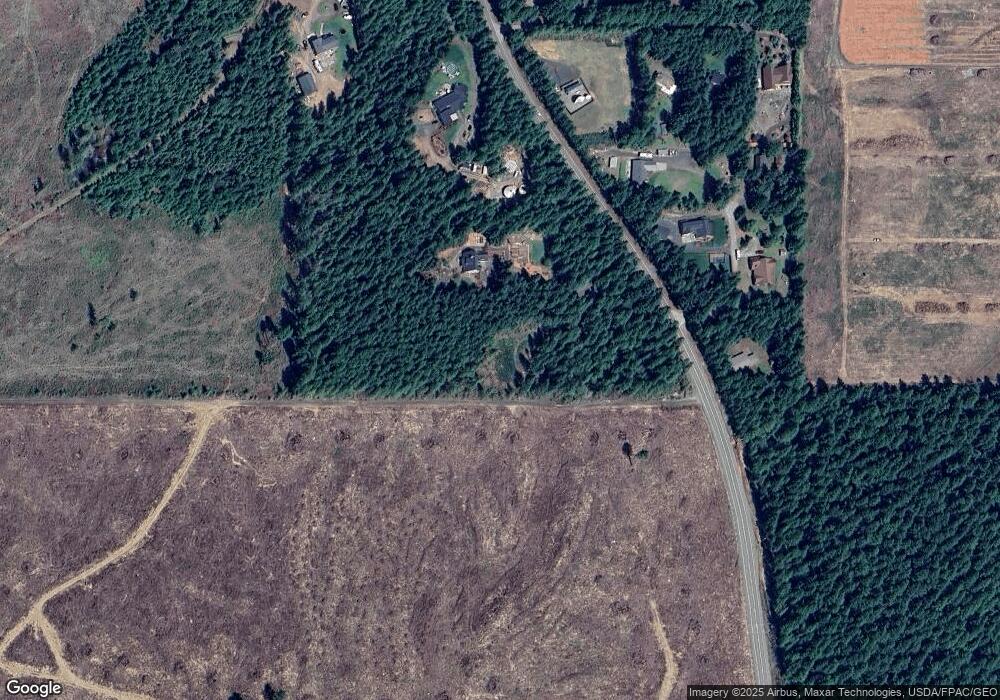
Map
Nearby Homes
- 1 Rd
- 482 E Hyland Dr
- 111 E Country Club Dr N
- 40 E Paint Brush Ln
- 100 E Fir Tree Ln
- 170 E Country Club Dr N
- 160 E Country Club Dr N
- 121 E Fir Tree Ln
- 1250 E Vine Maple Ln
- 850 E Vine Maple Ln
- 181 E Union Ridge Rd
- 91 E Jack Pine Ln
- 0 E Gerbing View Dr Unit NWM2372859
- 700 E Vine Maple Ln
- 131 E Skyview Ct
- 100 E Skyview Ct
- 31 E Rhododendron Ct
- 121 E Country Club Dr E
- 1031 E Manzanita Dr
- 50 E Laurel Park
- 80 E Wyatt Ln
- 81 E Tower Ln
- 91 E Tower Ln
- 40 E Tower Ln
- 11 E Wrangler Ridge Rd
- 0 McReavy Rd Unit 1068177
- 90 E Tower Ln
- 130 E Covey Run
- 140 E Covey Run
- 21 E Wrangler Ridge Rd
- 111 E Covey Run
- 150 E Covey Run
- 121 E Covey Run
- 141 E Covey Run
- 151 E Covey Run
- 1681 E McReavy Rd
- 0 E Alderbrook Ridge Dr
- 1590 E McReavy Rd
- 90 E Arellem Rd
- 70 E Arellem Rd
Your Personal Tour Guide
Ask me questions while you tour the home.