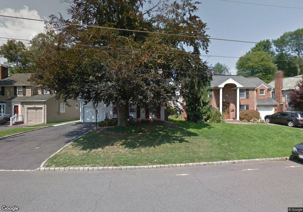
50 Springbrook Rd Springfield, NJ 07081
Estimated Value: $668,049 - $752,000
Studio
--
Bath
1,741
Sq Ft
$409/Sq Ft
Est. Value
About This Home
This home is located at 50 Springbrook Rd, Springfield, NJ 07081 and is currently estimated at $711,762, approximately $408 per square foot. 50 Springbrook Rd is a home located in Union County with nearby schools including Jonathan Dayton High School, St James The Apostle School, and The Winston School.
Ownership History
Date
Name
Owned For
Owner Type
Purchase Details
Closed on
Mar 25, 2025
Sold by
Mauriello Patrick J and Mauriello Patrick
Bought by
Waks Jason Lowell and Waks Tarah Novak
Current Estimated Value
Home Financials for this Owner
Home Financials are based on the most recent Mortgage that was taken out on this home.
Original Mortgage
$643,080
Interest Rate
6.76%
Mortgage Type
New Conventional
Purchase Details
Closed on
Oct 31, 2007
Sold by
Mauriello Patrick J
Bought by
Mauriello Patrick J
Create a Home Valuation Report for This Property
The Home Valuation Report is an in-depth analysis detailing your home's value as well as a comparison with similar homes in the area
Home Values in the Area
Average Home Value in this Area
Purchase History
| Date | Buyer | Sale Price | Title Company |
|---|---|---|---|
| Waks Jason Lowell | $699,000 | Realsafe Title | |
| Waks Jason Lowell | $699,000 | Realsafe Title | |
| Mauriello Patrick J | -- | None Available |
Source: Public Records
Mortgage History
| Date | Status | Borrower | Loan Amount |
|---|---|---|---|
| Previous Owner | Waks Jason Lowell | $643,080 |
Source: Public Records
Tax History
| Year | Tax Paid | Tax Assessment Tax Assessment Total Assessment is a certain percentage of the fair market value that is determined by local assessors to be the total taxable value of land and additions on the property. | Land | Improvement |
|---|---|---|---|---|
| 2025 | $12,514 | $526,900 | $184,700 | $342,200 |
| 2024 | $12,308 | $526,900 | $184,700 | $342,200 |
| 2023 | $12,308 | $526,900 | $184,700 | $342,200 |
| 2022 | $11,428 | $526,900 | $184,700 | $342,200 |
| 2021 | $11,354 | $152,500 | $65,100 | $87,400 |
| 2020 | $11,177 | $152,500 | $65,100 | $87,400 |
| 2019 | $11,026 | $152,500 | $65,100 | $87,400 |
| 2018 | $10,828 | $152,500 | $65,100 | $87,400 |
| 2017 | $10,530 | $152,500 | $65,100 | $87,400 |
| 2016 | $10,326 | $152,500 | $65,100 | $87,400 |
| 2015 | $10,205 | $152,500 | $65,100 | $87,400 |
| 2014 | $10,013 | $152,500 | $65,100 | $87,400 |
Source: Public Records
Map
Nearby Homes
- 66 Springbrook Rd
- 28 Molter Ave
- 5B Troy Dr Unit 1
- 57C Troy Dr
- 46 Elmwood Place
- 10A Troy Dr Unit 10A
- 8 Claremont Dr
- 7 Canterbury Ln
- 97B Troy Dr Unit B
- 119 Wellington Ave
- 24 Brook St
- 2 S Audlen Terrace
- 14 Eton Place
- 16 Tooker Ave
- 65 Springfield Ave
- 45 Ocean St Unit B
- 96 Rector St
- 19 Bodwell Terrace
- 19A Ocean St Unit A
- 27 Willow St Unit A
- 54 Springbrook Rd
- 46 Springbrook Rd
- 58 Springbrook Rd
- 42 Springbrook Rd
- 162 Baltusrol Ave
- 158 Baltusrol Ave
- 166 Baltusrol Ave
- 154 Baltusrol Ave
- 29 Crest Place
- 38 Springbrook Rd
- 32 Crest Place
- 170 Baltusrol Ave
- 150 Baltusrol Ave
- 61 Springbrook Rd
- 70 Springbrook Rd
- 26 Crest Place
- 174 Baltusrol Ave
- 25 Springbrook Rd
- 34 Springbrook Rd
- 65 Springbrook Rd
Your Personal Tour Guide
Ask me questions while you tour the home.