Estimated Value: $158,000 - $174,781
3
Beds
2
Baths
1,263
Sq Ft
$130/Sq Ft
Est. Value
About This Home
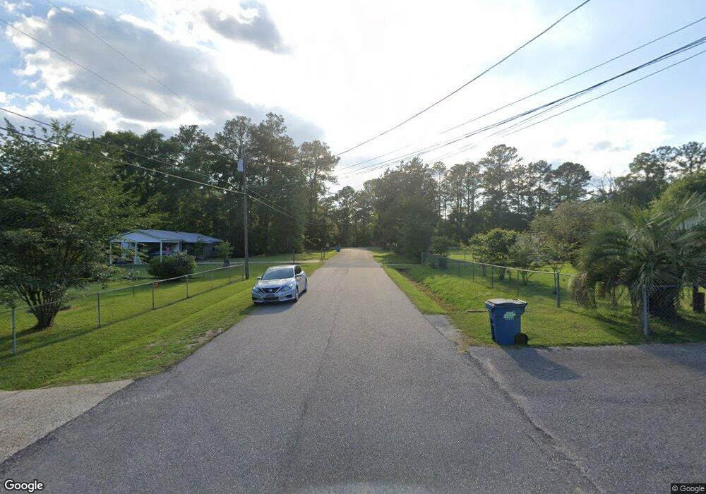
This home is located at 501 Mcbride Cir S, Axis, AL 36505 and is currently estimated at $164,695, approximately $130 per square foot. 501 Mcbride Cir S is a home located in Mobile County with nearby schools including North Mobile County Middle School and Citronelle High School.
Ownership History
Date
Name
Owned For
Owner Type
Purchase Details
Closed on
Mar 22, 2021
Sold by
Reed Billy J
Bought by
Mathers Bobby and Sunseri Ruth A
Current Estimated Value
Home Financials for this Owner
Home Financials are based on the most recent Mortgage that was taken out on this home.
Original Mortgage
$121,900
Outstanding Balance
$108,586
Interest Rate
2.73%
Mortgage Type
Purchase Money Mortgage
Estimated Equity
$56,109
Purchase Details
Closed on
Feb 21, 2019
Sold by
Roberts Clarence L
Bought by
Reed Billy J
Purchase Details
Closed on
Aug 15, 2014
Sold by
Federal Home Loan Mortgage Corporation
Bought by
Roberts Clarence L
Purchase Details
Closed on
Aug 8, 2014
Sold by
Federal Home Loan Mortgage Corporation
Bought by
Roberts Clarence L
Purchase Details
Closed on
Aug 27, 2013
Sold by
Glass Ronald A and Glass Peggy B
Bought by
Federal Home Loan Mirtgage Corporation
Create a Home Valuation Report for This Property
The Home Valuation Report is an in-depth analysis detailing your home's value as well as a comparison with similar homes in the area
Home Values in the Area
Average Home Value in this Area
Purchase History
| Date | Buyer | Sale Price | Title Company |
|---|---|---|---|
| Mathers Bobby | $124,900 | None Available | |
| Reed Billy J | $62,500 | First Montana Title | |
| Roberts Clarence L | $37,500 | None Available | |
| Roberts Clarence L | $37,500 | None Available | |
| Federal Home Loan Mirtgage Corporation | $58,000 | None Available |
Source: Public Records
Mortgage History
| Date | Status | Borrower | Loan Amount |
|---|---|---|---|
| Open | Mathers Bobby | $121,900 |
Source: Public Records
Tax History
| Year | Tax Paid | Tax Assessment Tax Assessment Total Assessment is a certain percentage of the fair market value that is determined by local assessors to be the total taxable value of land and additions on the property. | Land | Improvement |
|---|---|---|---|---|
| 2025 | -- | $10,240 | $1,000 | $9,240 |
| 2024 | -- | $10,360 | $1,000 | $9,360 |
| 2023 | $0 | $9,950 | $1,000 | $8,950 |
| 2022 | $0 | $10,070 | $1,000 | $9,070 |
| 2021 | $609 | $6,280 | $1,280 | $5,000 |
| 2020 | $609 | $12,560 | $2,560 | $10,000 |
| 2019 | $300 | $12,340 | $2,560 | $9,780 |
| 2018 | $275 | $5,680 | $0 | $0 |
| 2017 | $0 | $5,680 | $0 | $0 |
| 2016 | $263 | $5,420 | $0 | $0 |
| 2013 | $207 | $5,520 | $0 | $0 |
Source: Public Records
Map
Nearby Homes
- 565 Wilson Blvd
- 635 Wilson Blvd
- 11286 Highway 43
- 11286 Old Us Highway 43
- 675 Wilson Blvd
- 760 Wilson Blvd
- 11475 Highway 43 N
- 11525 Highway 43 N
- 864 Country Ln
- 0 Bell Dr Unit 5
- 0 Lucas Rd Unit 7685894
- 0 Dead Lake Marina Rd Unit 7360688
- 9745 Old Highway 43
- 341 Dead Lake Rd
- 1801 Dead Lake Marina Rd
- 284 Dead Lake Rd
- 0 Dead Lake Rd Unit 25467477
- 12865 Highway 43 N
- 1931 Dead Lake Marina Rd
- 0 Sailor Rd
- 11160 Old Highway 43
- 515 Mcbride Cir N
- 0 Old Highway 43
- 529 Mcbride Cir N
- 500 Doretta Dr
- 510 Doretta Dr
- 520 Mcbride Cir N
- 520 Mcbride Cir N
- 539 Mcbride Cir N
- 530 Mcbride Cir N
- 530 Doretta Dr
- 540 Mcbride Cir N
- 561 Mcbride Cir N
- 550 Mcbride Cir N
- 503 Doretta Dr
- 513 Doretta Dr
- 483 Doretta Dr
- 11226 Old Highway 43
- 571 Mcbride Cir N
- 525 Doretta Dr
Your Personal Tour Guide
Ask me questions while you tour the home.