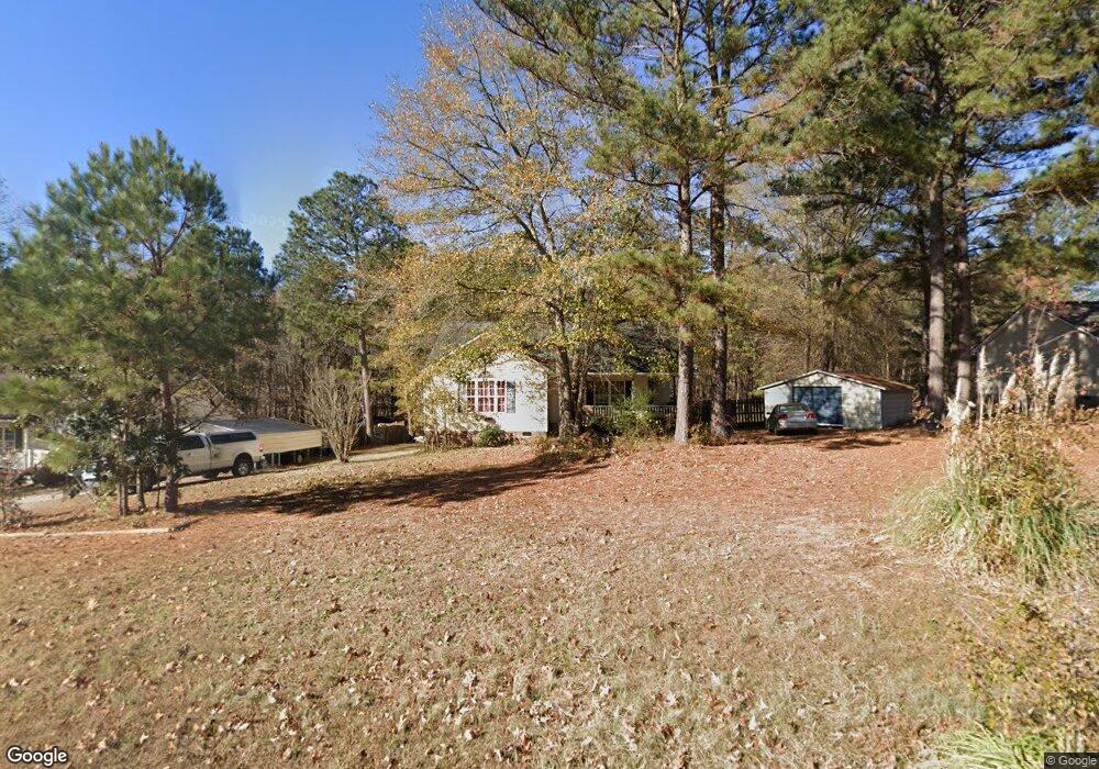
501 Sunray Dr Clayton, NC 27520
Estimated Value: $278,000 - $298,000
3
Beds
2
Baths
1,252
Sq Ft
$231/Sq Ft
Est. Value
About This Home
This home is located at 501 Sunray Dr, Clayton, NC 27520 and is currently estimated at $289,372, approximately $231 per square foot. 501 Sunray Dr is a home located in Johnston County with nearby schools including Swift Creek Middle, Smithfield-Selma High School, and American Leadership Academy.
Ownership History
Date
Name
Owned For
Owner Type
Purchase Details
Closed on
May 10, 2011
Sold by
Snyder William George
Bought by
Torrence James W and Farmer Betty Ann
Current Estimated Value
Home Financials for this Owner
Home Financials are based on the most recent Mortgage that was taken out on this home.
Original Mortgage
$115,885
Outstanding Balance
$80,498
Interest Rate
4.87%
Mortgage Type
FHA
Estimated Equity
$208,874
Purchase Details
Closed on
Mar 14, 2011
Sold by
George Kay Inc
Bought by
Snyder William George
Home Financials for this Owner
Home Financials are based on the most recent Mortgage that was taken out on this home.
Original Mortgage
$115,885
Outstanding Balance
$80,498
Interest Rate
4.87%
Mortgage Type
FHA
Estimated Equity
$208,874
Purchase Details
Closed on
Nov 29, 2006
Sold by
Jymco Development Inc
Bought by
Snyder William George and Snyder Joyce Kay
Create a Home Valuation Report for This Property
The Home Valuation Report is an in-depth analysis detailing your home's value as well as a comparison with similar homes in the area
Home Values in the Area
Average Home Value in this Area
Purchase History
| Date | Buyer | Sale Price | Title Company |
|---|---|---|---|
| Torrence James W | $119,000 | None Available | |
| Snyder William George | -- | None Available | |
| Snyder William George | $107,000 | Blackacre Title Insurance Co |
Source: Public Records
Mortgage History
| Date | Status | Borrower | Loan Amount |
|---|---|---|---|
| Open | Torrence James W | $115,885 |
Source: Public Records
Tax History
| Year | Tax Paid | Tax Assessment Tax Assessment Total Assessment is a certain percentage of the fair market value that is determined by local assessors to be the total taxable value of land and additions on the property. | Land | Improvement |
|---|---|---|---|---|
| 2025 | $1,593 | $250,850 | $60,000 | $190,850 |
| 2024 | $1,166 | $143,890 | $40,000 | $103,890 |
| 2023 | $1,108 | $143,890 | $40,000 | $103,890 |
| 2022 | $1,137 | $143,890 | $40,000 | $103,890 |
| 2021 | $1,137 | $143,890 | $40,000 | $103,890 |
| 2020 | $1,180 | $143,890 | $40,000 | $103,890 |
| 2019 | $1,180 | $143,890 | $40,000 | $103,890 |
| 2018 | $986 | $117,340 | $25,430 | $91,910 |
| 2017 | $986 | $117,340 | $25,430 | $91,910 |
| 2016 | $986 | $117,340 | $25,430 | $91,910 |
| 2015 | $986 | $117,340 | $25,430 | $91,910 |
| 2014 | $986 | $117,340 | $25,430 | $91,910 |
Source: Public Records
Map
Nearby Homes
- 633 Sunray Dr
- 50 Settlers Place
- 146 Starlet Ridge Way
- 124 Starlet Ridge Way
- 176 Starlet Ridge Way
- 131 Altavista Ct
- 166 Reagan Crest Dr
- 175 Reagan Crest Dr
- 160 Reagan Crest Dr
- 169 Reagan Crest Dr
- 163 Reagan Crest Dr
- 148 Reagan Crest Dr
- 157 Reagan Crest Dr
- 142 Reagan Crest Dr
- 145 Reagan Crest Dr
- 68 Ayden Dr
- 133 Reagan Crest Dr
- 127 Reagan Crest Dr
- 4390 U S 70 Highway Business W
- 0 Westerman Place Unit 10154207
Your Personal Tour Guide
Ask me questions while you tour the home.