5010 Curtis St Unit Bldg-Unit Dearborn, MI 48126
Henry Ford-Fairlane NeighborhoodEstimated Value: $244,000 - $276,000
3
Beds
3
Baths
1,087
Sq Ft
$235/Sq Ft
Est. Value
About This Home
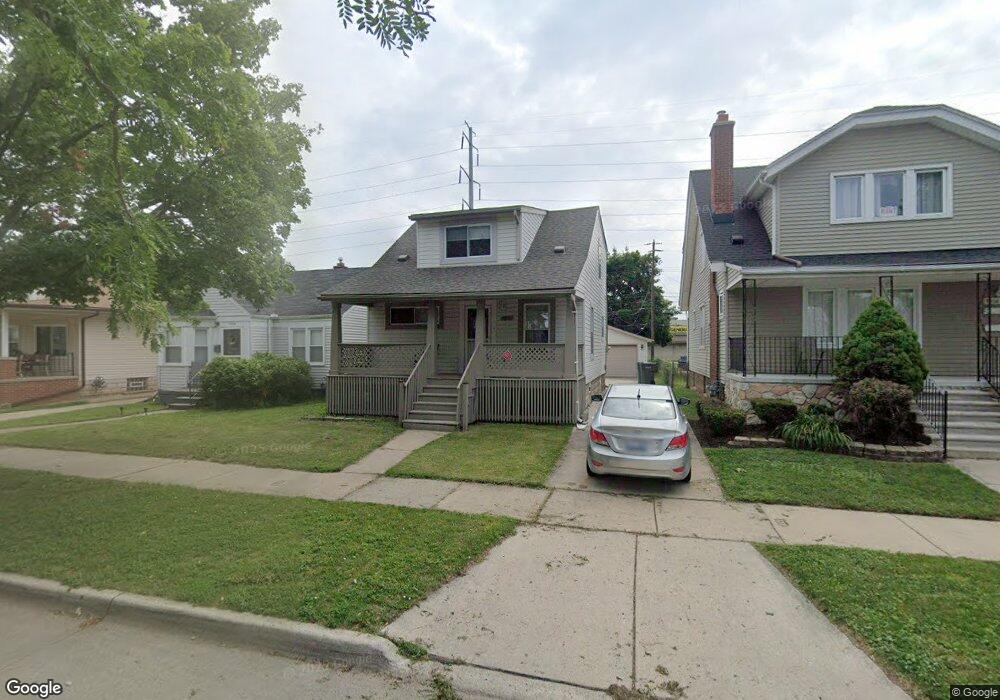
This home is located at 5010 Curtis St Unit Bldg-Unit, Dearborn, MI 48126 and is currently estimated at $255,675, approximately $235 per square foot. 5010 Curtis St Unit Bldg-Unit is a home located in Wayne County with nearby schools including Henry Ford Elementary School, Fordson High School, and Academy for Business & Technology Elementary School.
Ownership History
Date
Name
Owned For
Owner Type
Purchase Details
Closed on
Jun 11, 2025
Sold by
Obad Hussein
Bought by
Faquiri Amal
Current Estimated Value
Purchase Details
Closed on
Aug 19, 2023
Sold by
Abbas Abdelgadir
Bought by
Obad Hussein
Purchase Details
Closed on
May 31, 2001
Sold by
Sharif Jaber
Bought by
Abbas Abdel G
Purchase Details
Closed on
Jul 28, 1999
Sold by
Puffer Robert B
Bought by
Sharif Jaber Jaber
Create a Home Valuation Report for This Property
The Home Valuation Report is an in-depth analysis detailing your home's value as well as a comparison with similar homes in the area
Home Values in the Area
Average Home Value in this Area
Purchase History
We collect this data history from publicly available records. To have your information removed, we recommend requesting removal directly through your county’s website.
| Date | Buyer | Sale Price | Title Company |
|---|---|---|---|
| Faquiri Amal | $247,000 | Reputation First Title | |
| Faquiri Amal | $247,000 | Reputation First Title | |
| Obad Hussein | $212,000 | None Listed On Document | |
| Abbas Abdel G | $120,000 | -- | |
| Sharif Jaber Jaber | $52,500 | -- |
Source: Public Records
Tax History
| Year | Tax Paid | Tax Assessment Tax Assessment Total Assessment is a certain percentage of the fair market value that is determined by local assessors to be the total taxable value of land and additions on the property. | Land | Improvement |
|---|---|---|---|---|
| 2025 | $4,183 | $87,700 | $0 | $0 |
| 2024 | $4,211 | $68,300 | $0 | $0 |
| 2023 | $2,591 | $64,500 | $0 | $0 |
| 2022 | $2,823 | $53,900 | $0 | $0 |
| 2021 | $3,790 | $51,100 | $0 | $0 |
| 2019 | $2,850 | $40,500 | $0 | $0 |
| 2018 | $2,473 | $37,100 | $0 | $0 |
| 2017 | $582 | $36,000 | $0 | $0 |
| 2016 | $1,899 | $36,400 | $0 | $0 |
| 2015 | $4,315 | $47,350 | $0 | $0 |
| 2013 | $4,180 | $41,800 | $0 | $0 |
| 2011 | -- | $44,000 | $0 | $0 |
Source: Public Records
Map
Nearby Homes
- 4858 Palmer St
- 5215 Curtis St
- 4836 Firestone St
- 4835 Chovin St
- 4901 Rosalie St
- 4535 Mead St
- 4509 Helen St
- 4545 Westland St
- 5 Barclay Ct
- 5430 Kendal St
- 5280 Williamson St
- 14415 Lithgow St
- 5210 Middlesex St
- 7120 Ternes
- 5019 Maple St
- 5003 Maple St
- 6306 Steadman St
- 6404 Yinger Ave
- 5908 Williamson St
- 6406 Payne Ave
- 5018 Curtis St
- 5004 Curtis St
- 5024 Curtis St
- 4980 Curtis St
- 5030 Curtis St Unit Bldg-Unit
- 5030 Curtis St
- 4970 Curtis St
- 4964 Curtis St
- 0 Normandale St
- 5040 Curtis St
- 5011 Curtis St
- 5017 Curtis St
- 4956 Curtis St
- 5005 Curtis St
- 4979 Curtis St
- 5031 Curtis St
- 4971 Curtis St
- 5052 Curtis St
- 4950 Curtis St
- 5023 Curtis St
Your Personal Tour Guide
Ask me questions while you tour the home.