50115 Harding St Unit Bldg-Unit Canton, MI 48188
Cherry Hill NeighborhoodEstimated Value: $250,000 - $276,000
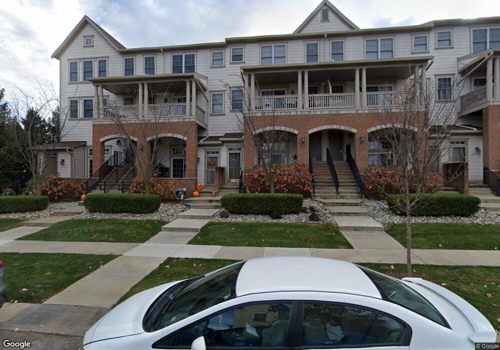
About This Home
This home is located at 50115 Harding St Unit Bldg-Unit, Canton, MI 48188 and is currently estimated at $263,808, approximately $235 per square foot. 50115 Harding St Unit Bldg-Unit is a home located in Wayne County with nearby schools including Canton High School, Workman Elementary School, and Plymouth High School.
Ownership History
We collect this data history from publicly available records. To have your information removed, we recommend requesting removal directly through your county’s website.
Purchase Details
Purchase Details
Purchase Details
Home Financials for this Owner
Home Financials are based on the most recent Mortgage that was taken out on this home.Home Values in the Area
Average Home Value in this Area
Purchase History
We collect this data history from publicly available records. To have your information removed, we recommend requesting removal directly through your county’s website.
| Date | Buyer | Sale Price | Title Company |
|---|---|---|---|
| $186,400 | Title One Inc | ||
| $137,000 | None Available | ||
| $190,974 | William T Sheahan Title Co |
Mortgage History
We collect this data history from publicly available records. To have your information removed, we recommend requesting removal directly through your county’s website.
| Date | Status | Borrower | Loan Amount |
|---|---|---|---|
| Previous Owner | $143,150 | ||
| Previous Owner | $38,000 | ||
| Previous Owner | $152,750 | ||
| Previous Owner | $9,000,000 |
Tax History
We collect this data history from publicly available records. To have your information removed, we recommend requesting removal directly through your county’s website.
| Year | Tax Paid | Tax Assessment Tax Assessment Total Assessment is a certain percentage of the fair market value that is determined by local assessors to be the total taxable value of land and additions on the property. | Land | Improvement |
|---|---|---|---|---|
| 2025 | $3,398 | $115,900 | $0 | $0 |
| 2024 | $3,298 | $108,000 | $0 | $0 |
| 2023 | $3,143 | $93,200 | $0 | $0 |
| 2022 | $4,971 | $82,600 | $0 | $0 |
| 2021 | $4,693 | $80,400 | $0 | $0 |
| 2020 | $4,396 | $74,800 | $0 | $0 |
| 2019 | $4,316 | $71,290 | $0 | $0 |
| 2018 | $1,609 | $74,230 | $0 | $0 |
| 2017 | $2,125 | $74,900 | $0 | $0 |
| 2016 | $2,625 | $75,600 | $0 | $0 |
| 2015 | $4,352 | $58,330 | $0 | $0 |
| 2013 | $4,216 | $43,410 | $0 | $0 |
| 2010 | -- | $53,420 | $49,000 | $4,420 |
Map
- 50119 Harding St Unit 119
- 348 Filmore St Unit 142
- 370 Roosevelt St
- 384 Filmore St Unit 137
- 000 Patriot St
- 49701 Lantern Way
- 50223 Monroe St
- 50147 Harding St Unit 112
- 000 Filmore St
- 001 Filmore St
- 002 Filmore St
- 50275 Hancock St
- 50325 Hancock St Unit 117
- 362 Constitution St Unit 19
- 534 Constitution St Unit 42
- 49503 Lantern Way
- 50610 Steed Dr
- 0000 Denton Rd
- 00000 Denton Rd
- 51121 Gold Ridge Ln Unit 11
- 50139 Harding St Unit 114
- 50131 Harding St Unit 116
- 50143 Harding St Unit 113
- 50127 Harding St Unit 117
- 50123 Harding St Unit 118
- 50103 Harding St Unit 123
- 50103 Harding #123 St
- 50103 Harding #123 St Unit 123
- 50115 Harding St Unit 120
- 50111 Harding St Unit 121
- 50107 Harding St Unit 122
- 50107 Harding St Unit 117
- 50151 Harding St Unit 242
- 50165 Harding St Unit 243
- 280 Roosevelt St Unit 125
- 50177 Harding St Unit 244
- 50140 Harding St Unit 217
- 50191 Harding St Unit 245
- 50062 Harding St Unit 10211
- 50038 Harding St Unit 10211
Ask me questions while you tour the home.