Estimated Value: $163,325 - $223,000
3
Beds
2
Baths
1,232
Sq Ft
$161/Sq Ft
Est. Value
About This Home
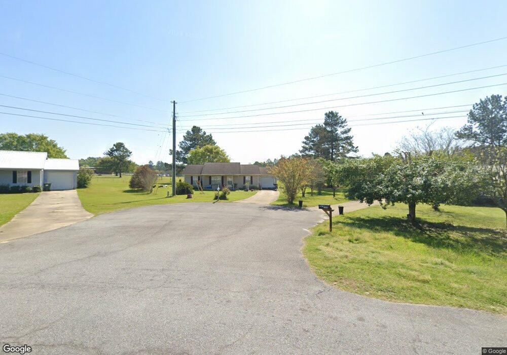
This home is located at 502 Bay Tree Rd NE, Cairo, GA 39828 and is currently estimated at $198,331, approximately $160 per square foot. 502 Bay Tree Rd NE is a home located in Grady County with nearby schools including Cairo High School.
Ownership History
Date
Name
Owned For
Owner Type
Purchase Details
Closed on
Jun 17, 2011
Sold by
Private Mortgage Group Llc
Bought by
Mcdonald Daniel G
Current Estimated Value
Home Financials for this Owner
Home Financials are based on the most recent Mortgage that was taken out on this home.
Original Mortgage
$54,180
Outstanding Balance
$36,672
Interest Rate
4.63%
Mortgage Type
New Conventional
Estimated Equity
$161,659
Purchase Details
Closed on
Aug 3, 2010
Sold by
Grant Eddie J and Grant Latae A
Bought by
Private Mortgage Group
Home Financials for this Owner
Home Financials are based on the most recent Mortgage that was taken out on this home.
Original Mortgage
$44,864
Interest Rate
4.4%
Mortgage Type
Purchase Money Mortgage
Purchase Details
Closed on
Dec 12, 2001
Sold by
Wiregrass Homebuilders
Bought by
Grant Eddie J
Purchase Details
Closed on
Dec 12, 1995
Sold by
Wiregrass Homebuilders
Bought by
Wiregrass Homebuilders
Purchase Details
Closed on
Mar 1, 1994
Bought by
Wiregrass Homebuilders
Create a Home Valuation Report for This Property
The Home Valuation Report is an in-depth analysis detailing your home's value as well as a comparison with similar homes in the area
Purchase History
| Date | Buyer | Sale Price | Title Company |
|---|---|---|---|
| Mcdonald Daniel G | $67,725 | -- | |
| Private Mortgage Group | $42,768 | -- | |
| Grant Eddie J | $73,800 | -- | |
| Wiregrass Homebuilders | $4,800 | -- | |
| Wiregrass Homebuilders | $4,800 | -- |
Source: Public Records
Mortgage History
| Date | Status | Borrower | Loan Amount |
|---|---|---|---|
| Open | Mcdonald Daniel G | $54,180 | |
| Previous Owner | Private Mortgage Group | $44,864 |
Source: Public Records
Tax History
| Year | Tax Paid | Tax Assessment Tax Assessment Total Assessment is a certain percentage of the fair market value that is determined by local assessors to be the total taxable value of land and additions on the property. | Land | Improvement |
|---|---|---|---|---|
| 2025 | $1,346 | $50,996 | $5,580 | $45,416 |
| 2024 | $1,346 | $46,316 | $5,580 | $40,736 |
| 2023 | $1,258 | $35,648 | $6,000 | $29,648 |
| 2022 | $1,311 | $35,648 | $6,000 | $29,648 |
| 2021 | $1,314 | $35,648 | $6,000 | $29,648 |
| 2020 | $1,318 | $35,648 | $6,000 | $29,648 |
| 2019 | $1,318 | $35,648 | $6,000 | $29,648 |
| 2018 | $1,253 | $41,908 | $6,000 | $35,908 |
| 2017 | $1,427 | $41,908 | $6,000 | $35,908 |
| 2016 | $1,239 | $35,779 | $6,000 | $29,779 |
| 2015 | $1,227 | $35,779 | $6,000 | $29,779 |
| 2014 | $1,227 | $35,779 | $6,000 | $29,779 |
| 2013 | -- | $31,662 | $6,000 | $25,662 |
Source: Public Records
Map
Nearby Homes
- 408 Bay Tree Rd NE
- 0 20th St NE
- 00 20th St NE
- 0 State Route 188
- 00 State Route 188
- 66 22nd St NE
- 711 2nd Ave NE
- 2690 U S 84
- 79 27th St NE
- 78.6 Ac Strickland Rd
- 21 24th St NE
- 00 Blackberry Ln
- 00 Meridian Rd
- 00 Cuffhead Rd
- 00 Union Hill Rd
- Lot #15, 3 64 Acres Oakbend Cir
- 2975 U S 84
- 4761 Hadley Ferry Rd
- 592 20th St SE
- 309 3rd St SE
Your Personal Tour Guide
Ask me questions while you tour the home.