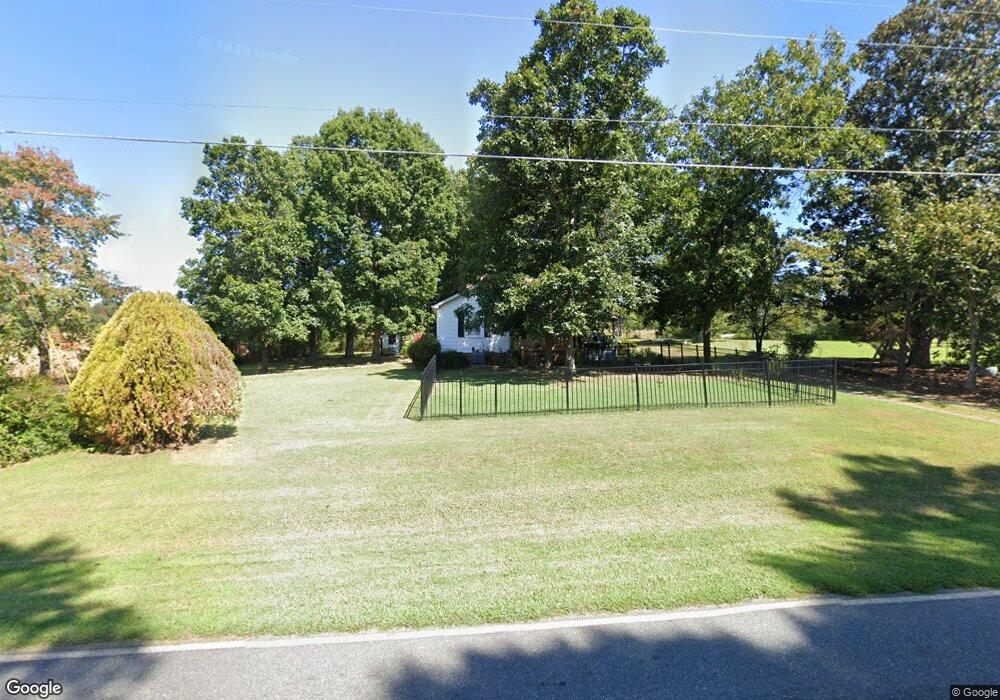
5020 Rifle Range Rd Conover, NC 28613
Estimated Value: $190,000 - $238,000
About This Home
This home is located at 5020 Rifle Range Rd, Conover, NC 28613 and is currently estimated at $216,010, approximately $171 per square foot. 5020 Rifle Range Rd is a home located in Catawba County with nearby schools including Lyle Creek Elementary School, River Bend Middle School, and Bunker Hill High School.
Ownership History
We collect this data history from publicly available records. To have your information removed, we recommend requesting removal directly through your county’s website.
Purchase Details
Home Financials for this Owner
Home Financials are based on the most recent Mortgage that was taken out on this home.Purchase Details
Home Values in the Area
Average Home Value in this Area
Purchase History
We collect this data history from publicly available records. To have your information removed, we recommend requesting removal directly through your county’s website.
| Date | Buyer | Sale Price | Title Company |
|---|---|---|---|
| $131,000 | None Listed On Document | ||
| $500 | -- |
Mortgage History
We collect this data history from publicly available records. To have your information removed, we recommend requesting removal directly through your county’s website.
| Date | Status | Borrower | Loan Amount |
|---|---|---|---|
| Open | $127,070 |
Tax History
We collect this data history from publicly available records. To have your information removed, we recommend requesting removal directly through your county’s website.
| Year | Tax Paid | Tax Assessment Tax Assessment Total Assessment is a certain percentage of the fair market value that is determined by local assessors to be the total taxable value of land and additions on the property. | Land | Improvement |
|---|---|---|---|---|
| 2025 | $999 | $191,200 | $39,700 | $151,500 |
| 2024 | $999 | $191,200 | $39,700 | $151,500 |
| 2023 | $961 | $104,600 | $39,700 | $64,900 |
| 2022 | $727 | $104,600 | $39,700 | $64,900 |
| 2021 | $727 | $104,600 | $39,700 | $64,900 |
| 2020 | $727 | $104,600 | $39,700 | $64,900 |
| 2019 | $727 | $104,600 | $0 | $0 |
| 2018 | $691 | $99,400 | $39,500 | $59,900 |
| 2017 | $691 | $0 | $0 | $0 |
| 2016 | $691 | $0 | $0 | $0 |
| 2015 | $632 | $99,400 | $39,500 | $59,900 |
| 2014 | $632 | $105,400 | $41,000 | $64,400 |
Map
- 4531 Springs Rd
- 4543 Springs Rd
- 4548 Springs Rd
- 5069 W Piedmont Cir
- 3951 Springs Rd
- 5208 W Piedmont Cir
- 3941 Springs Rd
- 4829 County Home Rd
- 4874 Stone Dr Unit 125
- 3785 Pinecrest Dr NE Unit 155
- 3779 Pinecrest Dr NE Unit 154
- 4051 Pinecrest Dr NE
- 1371 Millrace Dr
- 3811 Pinecrest Dr NE
- 4932 Sandstone Dr
- 3328 Sulphur Springs Rd NE
- 3650 Foxboro Ln NE
- 4804 Elmhurst Dr NE
- 4024 Wandering Ln NE
- 2056 Sipe Rd
- 5033 Rifle Range Rd
- 5013 Rifle Range Rd
- 5057 Rifle Range Rd
- 4964 Tumbling Creek Rd
- 4952 Tumbling Creek Rd
- 4993 Rifle Range Rd
- 4944 Tumbling Creek Rd
- 4977 Rifle Range Rd
- 4931 Tumbling Creek Rd
- 4972 Drumnorth Dr
- 4928 Tumbling Creek Rd
- 5131 Drumnorth Dr
- 4920 Tumbling Creek Rd
- 4908 Tumbling Creek Rd
- 4948 Rifle Range Rd
- 4989 Drumnorth Dr
- 5081 Circle Dr
- 4913 Tumbling Creek Rd
- 5083 Drumnorth Dr
- 4900 Tumbling Creek Rd
Ask me questions while you tour the home.