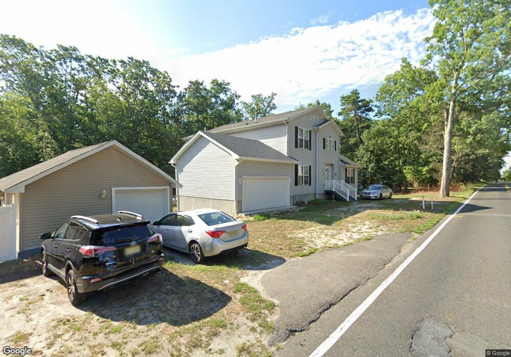
503 Junction Rd Browns Mills, NJ 08015
Estimated Value: $399,000 - $531,559
Studio
--
Bath
3,157
Sq Ft
$148/Sq Ft
Est. Value
About This Home
This home is located at 503 Junction Rd, Browns Mills, NJ 08015 and is currently estimated at $467,140, approximately $147 per square foot. 503 Junction Rd is a home.
Ownership History
Date
Name
Owned For
Owner Type
Purchase Details
Closed on
May 13, 2008
Sold by
Township Of Pemberton
Bought by
Woodard Lenetta and Woodard Venetta
Current Estimated Value
Purchase Details
Closed on
Oct 19, 2006
Sold by
Woodard Lenetta and Woodard Venetta
Bought by
Woodard Lenetta and Woodard Venetta
Purchase Details
Closed on
May 11, 2006
Sold by
Apell Erwin D and Bradney Joseph
Bought by
Woodard Lenetta and Woodard Venetta
Home Financials for this Owner
Home Financials are based on the most recent Mortgage that was taken out on this home.
Original Mortgage
$257,750
Interest Rate
6.62%
Mortgage Type
Construction
Create a Home Valuation Report for This Property
The Home Valuation Report is an in-depth analysis detailing your home's value as well as a comparison with similar homes in the area
Home Values in the Area
Average Home Value in this Area
Purchase History
| Date | Buyer | Sale Price | Title Company |
|---|---|---|---|
| Woodard Lenetta | $50,000 | None Available | |
| Woodard Lenetta | -- | None Available | |
| Woodard Lenetta | $80,000 | First American Title Ins Co |
Source: Public Records
Mortgage History
| Date | Status | Borrower | Loan Amount |
|---|---|---|---|
| Previous Owner | Woodard Lenetta | $257,750 |
Source: Public Records
Tax History
| Year | Tax Paid | Tax Assessment Tax Assessment Total Assessment is a certain percentage of the fair market value that is determined by local assessors to be the total taxable value of land and additions on the property. | Land | Improvement |
|---|---|---|---|---|
| 2025 | $9,866 | $321,900 | $51,300 | $270,600 |
| 2024 | $9,258 | $321,900 | $51,300 | $270,600 |
| 2023 | $9,258 | $321,900 | $51,300 | $270,600 |
| 2022 | $8,569 | $321,900 | $51,300 | $270,600 |
| 2021 | $8,218 | $321,900 | $51,300 | $270,600 |
| 2020 | $7,909 | $321,900 | $51,300 | $270,600 |
| 2019 | $7,574 | $321,900 | $51,300 | $270,600 |
| 2018 | $7,317 | $321,900 | $51,300 | $270,600 |
| 2017 | $7,165 | $321,900 | $51,300 | $270,600 |
| 2016 | $4,882 | $130,600 | $20,000 | $110,600 |
| 2015 | $4,843 | $130,600 | $20,000 | $110,600 |
| 2014 | $4,630 | $20,000 | $20,000 | $0 |
Source: Public Records
Map
Nearby Homes
- 11 Jefferson St
- 14 Scammell Dr
- 228 Coville Dr
- 607 Marie Dr
- 5 Pear Ave
- 3 Circle Dr
- 387 Lakehurst Rd
- 612 Katherine Rd
- 136 S Lakeshore Dr
- 16 Pear Ave
- 213 Scammell Dr
- 215 Scammell Dr
- 304 Otter Ave
- 108 Juliustown Rd
- 3487 Detroiter St
- 3450 New Moon St
- 3449 New Moon St
- 111 Crescent Dr
- 5 Holly Ave
- 20 Columbine Ave
Your Personal Tour Guide
Ask me questions while you tour the home.