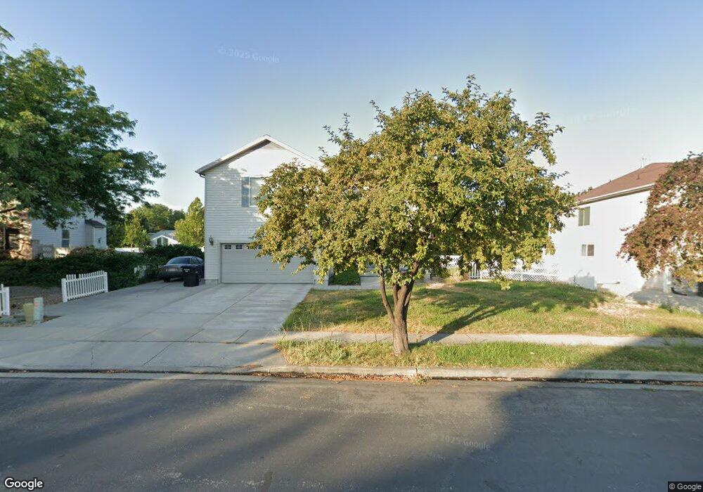
504 Wheatridge Rd Tooele, UT 84074
Estimated Value: $469,000 - $501,000
3
Beds
3
Baths
3,255
Sq Ft
$151/Sq Ft
Est. Value
About This Home
This home is located at 504 Wheatridge Rd, Tooele, UT 84074 and is currently estimated at $491,177, approximately $150 per square foot. 504 Wheatridge Rd is a home located in Tooele County with nearby schools including Stansbury Park Elementary School, Clarke N. Johnsen Junior High School, and Stansbury High School.
Ownership History
Date
Name
Owned For
Owner Type
Purchase Details
Closed on
Jul 25, 2012
Sold by
Dods John B and Dods Judy A
Bought by
Curtis Cody S and Curtis Rebecca
Current Estimated Value
Home Financials for this Owner
Home Financials are based on the most recent Mortgage that was taken out on this home.
Original Mortgage
$159,065
Outstanding Balance
$109,540
Interest Rate
3.62%
Mortgage Type
FHA
Estimated Equity
$381,637
Create a Home Valuation Report for This Property
The Home Valuation Report is an in-depth analysis detailing your home's value as well as a comparison with similar homes in the area
Home Values in the Area
Average Home Value in this Area
Purchase History
We collect this data history from publicly available records. To have your information removed, we recommend requesting removal directly through your county’s website.
| Date | Buyer | Sale Price | Title Company |
|---|---|---|---|
| Curtis Cody S | -- | Surety Title |
Source: Public Records
Mortgage History
We collect this data history from publicly available records. To have your information removed, we recommend requesting removal directly through your county’s website.
| Date | Status | Borrower | Loan Amount |
|---|---|---|---|
| Open | Curtis Cody S | $159,065 |
Source: Public Records
Tax History
| Year | Tax Paid | Tax Assessment Tax Assessment Total Assessment is a certain percentage of the fair market value that is determined by local assessors to be the total taxable value of land and additions on the property. | Land | Improvement |
|---|---|---|---|---|
| 2025 | $3,506 | $443,107 | $108,800 | $334,307 |
| 2024 | $3,804 | $244,388 | $59,840 | $184,548 |
| 2023 | $3,804 | $272,326 | $78,650 | $193,676 |
| 2022 | $3,116 | $250,028 | $52,624 | $197,404 |
| 2021 | $2,663 | $176,492 | $44,924 | $131,568 |
| 2020 | $2,588 | $299,983 | $60,320 | $239,663 |
| 2019 | $2,505 | $285,517 | $60,320 | $225,197 |
| 2018 | $2,333 | $254,737 | $25,000 | $229,737 |
| 2017 | $2,111 | $243,797 | $25,000 | $218,797 |
| 2016 | $1,792 | $118,392 | $13,750 | $104,642 |
| 2015 | $1,792 | $112,469 | $0 | $0 |
| 2014 | -- | $112,469 | $0 | $0 |
Source: Public Records
Map
Nearby Homes
- 501 Water Wheel Ln
- 42 Millpond
- 15 Millpond
- 156 Crystal Bay Dr
- 112 Crystal Bay Dr
- 360 E Brigham Rd
- 413 Country Club
- 6842 Bigelow Dr
- 472 E Vancott Way
- 394 E Rockwood Way
- 6674 Malachite Way
- 6681 Pratt Place Unit LOT 31
- 54 W Porter Way Unit 1304
- 6485 N Star Discovery Way
- 62 W Porter Way Unit 1303
- 6799 N Star Discovery Way Unit 1312
- 863 Country Club Dr
- 170 Lakeview
- 583 E Glenpoint Ct
- 5836 N Glenpoint Dr
- 494 Wheatridge Rd
- 512 Wheatridge Rd
- 486 Wheatridge Rd
- 520 Wheatridge Rd
- 509 Wheatridge Rd
- 489 Wheatridge Rd
- 530 Wheatridge Rd
- 525 Wheatridge Rd
- 68 Millpond
- 67 Millpond
- 481 Wheatridge Rd
- 476 Wheatridge Rd
- 528 Water Wheel Ln
- 66 Millpond
- 1 Millpond
- 2 Millpond
- 65 Millpond
- 62 Millpond
- 3 Millpond
- 61 Millpond
Your Personal Tour Guide
Ask me questions while you tour the home.