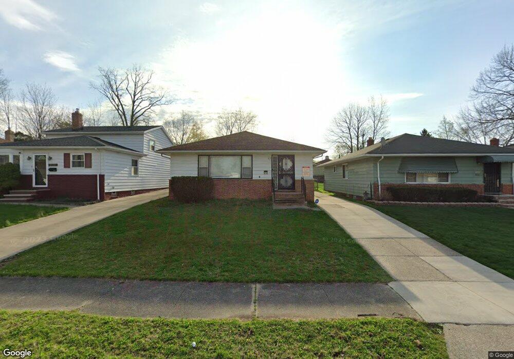
5041 Cato St Maple Heights, OH 44137
Maple Heights AreaEstimated Value: $117,546 - $134,000
About This Home
This home is located at 5041 Cato St, Maple Heights, OH 44137 and is currently estimated at $127,637, approximately $108 per square foot. 5041 Cato St is a home located in Cuyahoga County with nearby schools including Abraham Lincoln Elementary School, Rockside/ J.F. Kennedy School, and Barack Obama School.
Ownership History
We collect this data history from publicly available records. To have your information removed, we recommend requesting removal directly through your county’s website.
Purchase Details
Purchase Details
Purchase Details
Purchase Details
Purchase Details
Home Values in the Area
Average Home Value in this Area
Purchase History
We collect this data history from publicly available records. To have your information removed, we recommend requesting removal directly through your county’s website.
| Date | Buyer | Sale Price | Title Company |
|---|---|---|---|
| $47,500 | None Available | ||
| $47,500 | None Available | ||
| -- | Reed Tyrone E | ||
| $44,100 | None Available | ||
| -- | None Available | ||
| $94,000 | -- | ||
| -- | -- |
Tax History
We collect this data history from publicly available records. To have your information removed, we recommend requesting removal directly through your county’s website.
| Year | Tax Paid | Tax Assessment Tax Assessment Total Assessment is a certain percentage of the fair market value that is determined by local assessors to be the total taxable value of land and additions on the property. | Land | Improvement |
|---|---|---|---|---|
| 2025 | $4,556 | $37,870 | $7,280 | $30,590 |
| 2024 | $4,110 | $37,870 | $7,280 | $30,590 |
| 2023 | $1,796 | $15,440 | $4,060 | $11,380 |
| 2022 | $1,790 | $15,440 | $4,060 | $11,380 |
| 2021 | $1,902 | $15,440 | $4,060 | $11,380 |
| 2020 | $2,177 | $16,630 | $3,330 | $13,300 |
| 2019 | $2,053 | $47,500 | $9,500 | $38,000 |
| 2018 | $3,921 | $16,630 | $3,330 | $13,300 |
| 2017 | $2,064 | $15,440 | $3,080 | $12,360 |
| 2016 | $2,733 | $15,440 | $3,080 | $12,360 |
| 2015 | $1,002 | $15,440 | $3,080 | $12,360 |
| 2014 | $1,002 | $16,980 | $3,400 | $13,580 |
Map
- 18108 Mccracken Rd
- 17917 Mccracken Rd
- 5046 Philip Ave
- 5150 Arch St
- 5175 Arch St
- 18509 Preston Rd
- 18807 Longview Ave
- 5246 Philip Ave
- 16801 Raymond St
- 4816 E 173rd St
- 18909 Preston Rd
- 16811 Priebe Ave
- 18715 Libby Rd
- 5356 Beechwood Ave
- 18305 Knoll Dr
- 16684 Libby Rd
- 17409 Mapleboro Ave
- 17204 Maple Heights Blvd
- 16241 Glenburn Ave
- 4669 E 174th St
Ask me questions while you tour the home.