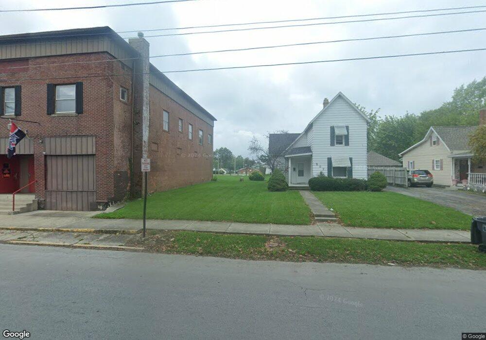
505 N Cole St Lima, OH 45805
Central Lima NeighborhoodEstimated Value: $115,386 - $231,000
4
Beds
2
Baths
2,486
Sq Ft
$71/Sq Ft
Est. Value
About This Home
This home is located at 505 N Cole St, Lima, OH 45805 and is currently estimated at $175,597, approximately $70 per square foot. 505 N Cole St is a home located in Allen County with nearby schools including Heritage Elementary School, Lima West Middle School, and Lima North Middle School.
Ownership History
Date
Name
Owned For
Owner Type
Purchase Details
Closed on
Dec 2, 2019
Sold by
Stoddard Robert D
Bought by
Kesner Colleen and Kesner Patrick
Current Estimated Value
Home Financials for this Owner
Home Financials are based on the most recent Mortgage that was taken out on this home.
Original Mortgage
$63,175
Outstanding Balance
$54,727
Interest Rate
3.6%
Estimated Equity
$120,870
Purchase Details
Closed on
Jan 1, 1990
Bought by
Sandvoss Margaret H
Create a Home Valuation Report for This Property
The Home Valuation Report is an in-depth analysis detailing your home's value as well as a comparison with similar homes in the area
Home Values in the Area
Average Home Value in this Area
Purchase History
We collect this data history from publicly available records. To have your information removed, we recommend requesting removal directly through your county’s website.
| Date | Buyer | Sale Price | Title Company |
|---|---|---|---|
| Kesner Colleen | $66,500 | None Available | |
| Sandvoss Margaret H | -- | -- |
Source: Public Records
Mortgage History
We collect this data history from publicly available records. To have your information removed, we recommend requesting removal directly through your county’s website.
| Date | Status | Borrower | Loan Amount |
|---|---|---|---|
| Open | Kesner Colleen | $63,175 |
Source: Public Records
Tax History
| Year | Tax Paid | Tax Assessment Tax Assessment Total Assessment is a certain percentage of the fair market value that is determined by local assessors to be the total taxable value of land and additions on the property. | Land | Improvement |
|---|---|---|---|---|
| 2025 | $1,869 | $51,530 | $6,200 | $45,330 |
| 2024 | $1,868 | $51,530 | $6,200 | $45,330 |
| 2023 | $1,741 | $41,900 | $5,040 | $36,860 |
| 2022 | $1,727 | $41,900 | $5,040 | $36,860 |
| 2021 | $1,834 | $41,900 | $5,040 | $36,860 |
| 2020 | $2,090 | $42,430 | $4,800 | $37,630 |
| 2019 | $2,090 | $42,430 | $4,800 | $37,630 |
| 2018 | $2,067 | $42,430 | $4,800 | $37,630 |
| 2017 | $1,933 | $39,000 | $4,800 | $34,200 |
| 2016 | $1,958 | $39,000 | $4,800 | $34,200 |
| 2015 | $2,097 | $39,000 | $4,800 | $34,200 |
| 2014 | $2,097 | $41,130 | $5,010 | $36,120 |
| 2013 | $2,039 | $41,130 | $5,010 | $36,120 |
Source: Public Records
Map
Nearby Homes
- 1160 Richie Ave
- 1209 Rice Ave
- 711 College Ave
- 1031 Richie Ave
- 524 N Jameson Ave
- 1027 Brice Ave
- 616 N Rosedale Ave
- 1023 Brice Ave
- 813 College Ave
- 513 N Charles St
- 503 N Charles St
- 625 N Charles St
- 1023 Leland Ave
- 1517 Allentown Rd
- 953 Rice Ave
- 1508 Oakland Pkwy
- 949 Leland Ave
- 0 Latham
- 1063 W West Market St
- 1015 N Cole St
Your Personal Tour Guide
Ask me questions while you tour the home.