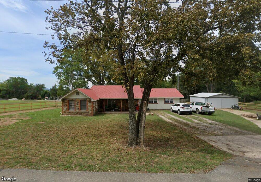
506 Range St Marshall, AR 72650
Estimated Value: $89,498 - $166,000
Studio
1
Bath
1,808
Sq Ft
$75/Sq Ft
Est. Value
About This Home
This home is located at 506 Range St, Marshall, AR 72650 and is currently estimated at $135,125, approximately $74 per square foot. 506 Range St is a home located in Searcy County with nearby schools including Marshall Elementary School, Leslie Elementary School, and Marshall High School.
Ownership History
Date
Name
Owned For
Owner Type
Purchase Details
Closed on
Aug 21, 2023
Sold by
Passmore Regina Marie
Bought by
Passmore Benjamin Dale
Current Estimated Value
Purchase Details
Closed on
Dec 19, 2014
Sold by
Nancy Ruth Nancy Ruth
Bought by
Passmore Billy Don and Passmore Regina Marie
Purchase Details
Closed on
Feb 21, 1997
Bought by
Passmore Billy Don and Regina Mari
Purchase Details
Closed on
Jun 1, 1992
Bought by
England Melita J
Purchase Details
Closed on
Nov 1, 1991
Bought by
Searcy County Bank
Purchase Details
Closed on
Jul 1, 1991
Bought by
Veazey Dennise
Purchase Details
Closed on
Sep 7, 1984
Bought by
Veazey Dennis P and Veazey Florence A
Create a Home Valuation Report for This Property
The Home Valuation Report is an in-depth analysis detailing your home's value as well as a comparison with similar homes in the area
Purchase History
| Date | Buyer | Sale Price | Title Company |
|---|---|---|---|
| Passmore Benjamin Dale | -- | None Listed On Document | |
| Passmore Benjamin Dale | -- | None Listed On Document | |
| Passmore Billy Don | $3,500 | -- | |
| Passmore Billy Don | $24,000 | -- | |
| England Melita J | $17,000 | -- | |
| Searcy County Bank | -- | -- | |
| Veazey Dennise | -- | -- | |
| Veazey Dennis P | $25,000 | -- |
Source: Public Records
Tax History
| Year | Tax Paid | Tax Assessment Tax Assessment Total Assessment is a certain percentage of the fair market value that is determined by local assessors to be the total taxable value of land and additions on the property. | Land | Improvement |
|---|---|---|---|---|
| 2025 | $165 | $16,250 | $1,940 | $14,310 |
| 2024 | $165 | $16,250 | $1,940 | $14,310 |
| 2023 | $210 | $16,250 | $1,940 | $14,310 |
| 2022 | $260 | $16,250 | $1,940 | $14,310 |
| 2021 | $224 | $11,500 | $1,940 | $9,560 |
| 2020 | $223 | $11,500 | $1,940 | $9,560 |
| 2019 | $241 | $11,500 | $1,940 | $9,560 |
| 2018 | $265 | $11,500 | $1,940 | $9,560 |
| 2017 | $220 | $10,440 | $1,940 | $8,500 |
| 2016 | $172 | $10,240 | $1,940 | $8,300 |
| 2014 | $90 | $9,330 | $1,130 | $8,200 |
Source: Public Records
Map
Nearby Homes
- 501 Range St
- 510 Range St
- 324 Jim Jones Alley Rd
- 500 Range St
- 500 Canaan Range St
- 509 Range (W Hwy 65 Frontage Acres) St
- 200 S Hwy 65
- Hwy 27 South St
- 2130 South St
- 505 Spring St
- 511 Range St
- 0 Spring St
- 509 Spring St
- 101 Guthrie
- 511 Spring St
- 408 Range St
- 203 South St
- 201 South St
- 506 Spring St
- 502 Spring St
Your Personal Tour Guide
Ask me questions while you tour the home.