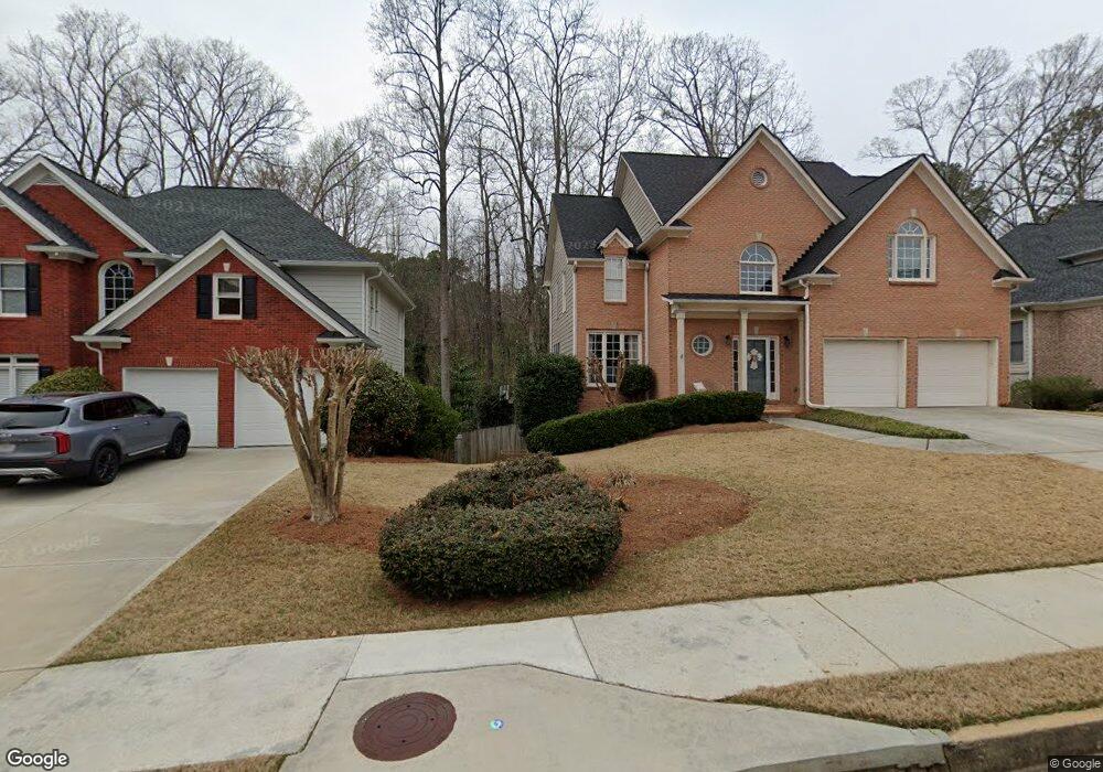
5065 Ashurst Dr Unit 1 Roswell, GA 30075
Estimated Value: $761,000 - $872,000
About This Home
This home is located at 5065 Ashurst Dr Unit 1, Roswell, GA 30075 and is currently estimated at $821,187, approximately $265 per square foot. 5065 Ashurst Dr Unit 1 is a home located in Fulton County with nearby schools including Roswell North Elementary School, Crabapple Middle School, and Roswell High School.
Ownership History
We collect this data history from publicly available records. To have your information removed, we recommend requesting removal directly through your county’s website.
Purchase Details
Home Financials for this Owner
Home Financials are based on the most recent Mortgage that was taken out on this home.Home Values in the Area
Average Home Value in this Area
Purchase History
We collect this data history from publicly available records. To have your information removed, we recommend requesting removal directly through your county’s website.
| Date | Buyer | Sale Price | Title Company |
|---|---|---|---|
| $248,000 | -- |
Mortgage History
We collect this data history from publicly available records. To have your information removed, we recommend requesting removal directly through your county’s website.
| Date | Status | Borrower | Loan Amount |
|---|---|---|---|
| Closed | $198,384 |
Tax History
We collect this data history from publicly available records. To have your information removed, we recommend requesting removal directly through your county’s website.
| Year | Tax Paid | Tax Assessment Tax Assessment Total Assessment is a certain percentage of the fair market value that is determined by local assessors to be the total taxable value of land and additions on the property. | Land | Improvement |
|---|---|---|---|---|
| 2025 | $3,941 | $259,760 | $80,240 | $179,520 |
| 2023 | $5,949 | $210,760 | $46,800 | $163,960 |
| 2022 | $3,609 | $210,760 | $46,800 | $163,960 |
| 2021 | $4,244 | $179,600 | $28,360 | $151,240 |
| 2020 | $4,314 | $177,480 | $28,040 | $149,440 |
| 2019 | $664 | $174,320 | $27,520 | $146,800 |
| 2018 | $4,267 | $170,240 | $26,880 | $143,360 |
| 2017 | $3,343 | $126,520 | $26,880 | $99,640 |
| 2016 | $3,342 | $126,520 | $26,880 | $99,640 |
| 2015 | $4,045 | $126,520 | $26,880 | $99,640 |
| 2014 | $3,488 | $126,520 | $26,880 | $99,640 |
Map
- 6025 Dumont Trace Unit 2
- 6000 Hampton Bluff Way
- 7025 Hampton Bluff Way
- 830 Willeo Rd
- 605 Marietta Hwy
- 9650 Coleman Rd
- 2115 Azalea Dr
- 1085 Ashley Manor Dr
- 4040 Connolly Ct
- 625 Willeo Rd
- 4013 Lake Pointe Cir Unit 4013
- 3115 Fenwood Trail
- 2214 Lake Pointe Cir
- 135 Grayton Ln
- 1103 Lake Pointe Cir Unit 103
- 270 Boulder Dr
- 145 Grayton Ln
- 130 Farm Hill Cir
- 2225 Watercrest Commons Cir
- 2195 Watercrest Commons Cir
- 5075 Ashurst Dr
- 5055 Ashurst Dr
- 5045 Ashurst Dr
- 5085 Ashurst Dr
- 7000 Beloit Place Unit 1
- 9459 Coleman Rd
- 5095 Ashurst Dr
- 5035 Ashurst Dr
- 5060 Ashurst Dr
- 7005 Beloit Place
- 6005 Dumont Trace Unit 1
- 5025 Ashurst Dr
- 8040 Sandorn Dr Unit 1
- 7015 Beloit Place
- 7010 Beloit Place
- 8020 Sandorn Dr
- 5090 Ashurst Dr
- 6015 Dumont Trace
- 5015 Ashurst Dr
- 8060 Sandorn Dr Unit 1
Ask me questions while you tour the home.