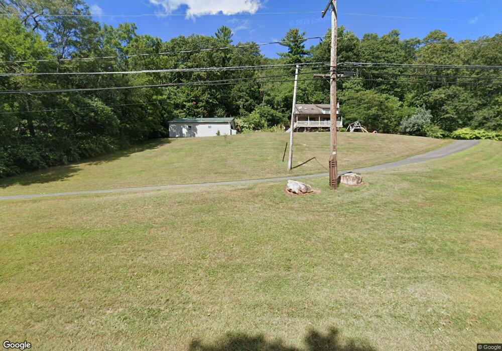
5065 Upper Rd Shamokin, PA 17872
Estimated Value: $122,474 - $265,000
About This Home
This home is located at 5065 Upper Rd, Shamokin, PA 17872 and is currently estimated at $205,369. 5065 Upper Rd is a home located in Northumberland County with nearby schools including Shamokin Area Elementary School, Shamokin Area Middle School, and Shamokin Area High School.
Ownership History
We collect this data history from publicly available records. To have your information removed, we recommend requesting removal directly through your county’s website.
Purchase Details
Home Financials for this Owner
Home Financials are based on the most recent Mortgage that was taken out on this home.Purchase History
We collect this data history from publicly available records. To have your information removed, we recommend requesting removal directly through your county’s website.
| Date | Buyer | Sale Price | Title Company |
|---|---|---|---|
| $200,000 | None Available |
Mortgage History
We collect this data history from publicly available records. To have your information removed, we recommend requesting removal directly through your county’s website.
| Date | Status | Borrower | Loan Amount |
|---|---|---|---|
| Closed | $184,000 | ||
| Closed | $204,081 | ||
| Closed | $120,000 |
Tax History
We collect this data history from publicly available records. To have your information removed, we recommend requesting removal directly through your county’s website.
| Year | Tax Paid | Tax Assessment Tax Assessment Total Assessment is a certain percentage of the fair market value that is determined by local assessors to be the total taxable value of land and additions on the property. | Land | Improvement |
|---|---|---|---|---|
| 2026 | $2,712 | $30,130 | $3,100 | $27,030 |
| 2025 | $2,636 | $30,130 | $3,100 | $27,030 |
| 2024 | $2,392 | $30,130 | $3,100 | $27,030 |
| 2023 | $2,392 | $30,130 | $3,100 | $27,030 |
| 2022 | $2,335 | $30,130 | $3,100 | $27,030 |
| 2021 | $2,288 | $30,130 | $3,100 | $27,030 |
| 2020 | $2,248 | $30,130 | $3,100 | $27,030 |
| 2019 | $2,194 | $30,130 | $3,100 | $27,030 |
| 2018 | $2,159 | $30,130 | $3,100 | $27,030 |
| 2017 | $2,024 | $30,130 | $3,100 | $27,030 |
| 2016 | -- | $30,130 | $3,100 | $27,030 |
| 2015 | -- | $30,130 | $3,100 | $27,030 |
| 2014 | -- | $30,130 | $3,100 | $27,030 |
Map
- 4685 Upper Rd
- 4617 Upper Rd
- 2918 State Route 125
- 4262 Upper Rd
- 408 Water St
- 204 3rd St
- 144 Main Rd
- 1705 Pulaski Ave
- 1542 Pulaski Ave
- 454 S Pearl St
- 27 N Sheridan St
- 1473 Pulaski Ave
- 401 S Rock St
- 213 S Franklin St
- 0 Webster St
- 918 Race St
- 114 S Shamokin St
- 108 S Shamokin St
- 28 S Franklin St
- 1006 E Webster St
Ask me questions while you tour the home.