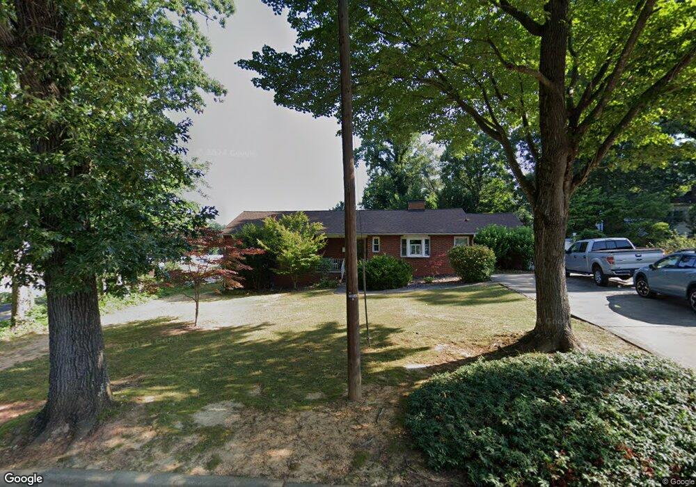
507 Redding Rd Asheboro, NC 27203
Estimated Value: $239,405 - $267,000
About This Home
This home is located at 507 Redding Rd, Asheboro, NC 27203 and is currently estimated at $258,351, approximately $162 per square foot. 507 Redding Rd is a home located in Randolph County with nearby schools including Lindley Park Elementary School, South Asheboro Middle School, and Asheboro High School.
Ownership History
We collect this data history from publicly available records. To have your information removed, we recommend requesting removal directly through your county’s website.
Purchase Details
Home Financials for this Owner
Home Financials are based on the most recent Mortgage that was taken out on this home.Purchase Details
Home Financials for this Owner
Home Financials are based on the most recent Mortgage that was taken out on this home.Purchase Details
Purchase Details
Home Values in the Area
Average Home Value in this Area
Purchase History
We collect this data history from publicly available records. To have your information removed, we recommend requesting removal directly through your county’s website.
| Date | Buyer | Sale Price | Title Company |
|---|---|---|---|
| $160,000 | None Available | ||
| -- | None Available | ||
| $152,000 | None Available | ||
| -- | Chicago Title Insurance Co | ||
| -- | Chicago Title Insurance Co |
Mortgage History
We collect this data history from publicly available records. To have your information removed, we recommend requesting removal directly through your county’s website.
| Date | Status | Borrower | Loan Amount |
|---|---|---|---|
| Open | $152,000 | ||
| Previous Owner | $147,000 |
Tax History
We collect this data history from publicly available records. To have your information removed, we recommend requesting removal directly through your county’s website.
| Year | Tax Paid | Tax Assessment Tax Assessment Total Assessment is a certain percentage of the fair market value that is determined by local assessors to be the total taxable value of land and additions on the property. | Land | Improvement |
|---|---|---|---|---|
| 2025 | $2,458 | $185,090 | $30,000 | $155,090 |
| 2024 | $2,458 | $185,090 | $30,000 | $155,090 |
| 2023 | $2,458 | $185,090 | $30,000 | $155,090 |
| 2022 | $1,932 | $133,640 | $18,000 | $115,640 |
| 2021 | $1,932 | $133,640 | $18,000 | $115,640 |
| 2020 | $1,932 | $133,640 | $18,000 | $115,640 |
| 2019 | $1,876 | $130,120 | $18,000 | $112,120 |
| 2018 | $1,498 | $102,090 | $19,450 | $82,640 |
| 2016 | $1,498 | $102,091 | $19,450 | $82,641 |
| 2015 | $1,501 | $102,091 | $19,450 | $82,641 |
| 2014 | -- | $102,091 | $19,450 | $82,641 |
Map
- 320 Lindley Ave
- 203 Ridgecrest Rd
- 720 Worth St
- 822 Glenwood Rd
- 163 E Academy St
- 725 S Main St Unit 2A
- 950 Cliff Rd
- 0 Salisbury St Unit 1047979
- 1025 Parkview St
- 338 Watkins St
- 1021 Worth St
- 1011 Kildare Rd
- 202 Armfield Ave
- 0 U S Highway 64
- 434 Callicut St
- 127 E Walker Ave
- 1118 Timberlane
- 500 Loach St
- 463 Glovinia St
- 135 Dixon St
Ask me questions while you tour the home.