507 W Wayne St Le Roy, IL 61752
Estimated Value: $153,000 - $185,000
4
Beds
2
Baths
2,415
Sq Ft
$67/Sq Ft
Est. Value
About This Home
This home is located at 507 W Wayne St, Le Roy, IL 61752 and is currently estimated at $162,942, approximately $67 per square foot. 507 W Wayne St is a home located in McLean County with nearby schools including Le Roy Elementary School, Le Roy Junior High School, and Le Roy High School.
Ownership History
Date
Name
Owned For
Owner Type
Purchase Details
Closed on
Jan 13, 2022
Sold by
Lewis Perry L and Lewis Marilyn H
Bought by
Umstattd Joseph
Current Estimated Value
Purchase Details
Closed on
May 29, 2012
Sold by
Allen James E and Allen Anita L
Bought by
Lewis Perry
Purchase Details
Closed on
Dec 27, 2006
Sold by
Allen James E and Allenl Anita L
Bought by
Allen James E and Allen Anita L
Purchase Details
Closed on
Apr 6, 2005
Sold by
Moss Simone K and Moss Jon W
Bought by
Allen Anita L
Create a Home Valuation Report for This Property
The Home Valuation Report is an in-depth analysis detailing your home's value as well as a comparison with similar homes in the area
Home Values in the Area
Average Home Value in this Area
Purchase History
| Date | Buyer | Sale Price | Title Company |
|---|---|---|---|
| Umstattd Joseph | -- | None Listed On Document | |
| Lewis Perry L | -- | None Listed On Document | |
| Lewis Perry | $90,000 | Mclean County Title | |
| Allen James E | -- | None Available | |
| Allen Anita L | $1,120,000 | None Available |
Source: Public Records
Tax History
| Year | Tax Paid | Tax Assessment Tax Assessment Total Assessment is a certain percentage of the fair market value that is determined by local assessors to be the total taxable value of land and additions on the property. | Land | Improvement |
|---|---|---|---|---|
| 2024 | $3,060 | $39,920 | $6,531 | $33,389 |
| 2022 | $3,060 | $33,640 | $5,503 | $28,137 |
| 2021 | $2,947 | $32,010 | $5,236 | $26,774 |
| 2020 | $2,909 | $31,008 | $5,072 | $25,936 |
| 2019 | $2,867 | $31,008 | $5,072 | $25,936 |
| 2018 | $2,839 | $31,008 | $5,072 | $25,936 |
| 2017 | $2,854 | $31,233 | $5,109 | $26,124 |
| 2016 | $2,766 | $30,760 | $5,032 | $25,728 |
| 2015 | $2,690 | $29,879 | $4,888 | $24,991 |
| 2014 | $2,606 | $29,481 | $4,823 | $24,658 |
| 2013 | -- | $29,481 | $4,823 | $24,658 |
Source: Public Records
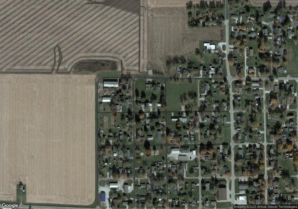
Map
Nearby Homes
- 105 W School St
- LOT 6 W Elm St
- 300 E Warren St
- 608 W Cedar St
- 306 E Cedar St
- 000 Lot 5 Sunset Dr
- 000 Lot 2 Sunset Dr
- 000 Lot 4 Sunset Dr
- 000 Lot 6 Sunset Dr
- 108 Cardinal Dr
- 29428 E 500 North Rd
- Lot 7 Burr Oak Ln
- N 2000 East Rd
- 8198 Pine Ave
- 500 Raef Rd
- 200 E South St
- TBD Water St
- 52 Moss Dr
- 11 Moss Dr
- 10 Moss Dr
- 501 W Wayne St
- 509 W Wayne St
- 910 N Buck St
- 504 W Wayne St
- 508 W Wayne St
- 900 N Allen St
- 910 N Allen St
- 810 N Allen St
- 802 N Buck St
- 509 W Green St
- 404 W Wayne St
- 808 N Buck St
- 411 W Green St
- 601 W Green St
- 405 W School St
- 907 N Hemlock St
- 907 N Hemlock St
- 907 N Hemlock St
- 407 W Green St
- 605 W Green St
Your Personal Tour Guide
Ask me questions while you tour the home.