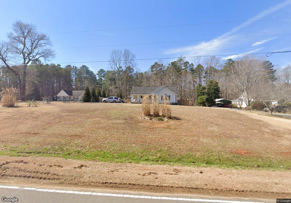
5073 Range Rd Oxford, NC 27565
Estimated Value: $279,382 - $333,000
3
Beds
2
Baths
1,437
Sq Ft
$207/Sq Ft
Est. Value
About This Home
This home is located at 5073 Range Rd, Oxford, NC 27565 and is currently estimated at $298,096, approximately $207 per square foot. 5073 Range Rd is a home located in Granville County with nearby schools including West Oxford Elementary School, Northern Granville Middle School, and Granville Central High School.
Ownership History
Date
Name
Owned For
Owner Type
Purchase Details
Closed on
Jan 11, 2017
Sold by
Mcknight Timothy A and Mcknight Nicole M
Bought by
Berrier Ray Judson and Berrier Jill J
Current Estimated Value
Home Financials for this Owner
Home Financials are based on the most recent Mortgage that was taken out on this home.
Original Mortgage
$142,373
Outstanding Balance
$116,482
Interest Rate
3.87%
Mortgage Type
FHA
Estimated Equity
$181,614
Purchase Details
Closed on
May 10, 2005
Sold by
Wynn Construction Inc
Bought by
Mcknight Timothy A and Mcknight Nicole M
Home Financials for this Owner
Home Financials are based on the most recent Mortgage that was taken out on this home.
Original Mortgage
$139,000
Interest Rate
8.12%
Mortgage Type
Adjustable Rate Mortgage/ARM
Create a Home Valuation Report for This Property
The Home Valuation Report is an in-depth analysis detailing your home's value as well as a comparison with similar homes in the area
Purchase History
| Date | Buyer | Sale Price | Title Company |
|---|---|---|---|
| Berrier Ray Judson | $145,000 | None Available | |
| Mcknight Timothy A | -- | -- |
Source: Public Records
Mortgage History
| Date | Status | Borrower | Loan Amount |
|---|---|---|---|
| Open | Berrier Ray Judson | $142,373 | |
| Previous Owner | Mcknight Timothy A | $139,000 |
Source: Public Records
Tax History
| Year | Tax Paid | Tax Assessment Tax Assessment Total Assessment is a certain percentage of the fair market value that is determined by local assessors to be the total taxable value of land and additions on the property. | Land | Improvement |
|---|---|---|---|---|
| 2025 | $1,649 | $223,330 | $30,393 | $192,937 |
| 2024 | $1,649 | $223,330 | $30,393 | $192,937 |
| 2023 | $1,644 | $143,778 | $20,528 | $123,250 |
| 2022 | $1,391 | $143,778 | $20,528 | $123,250 |
| 2021 | $1,300 | $143,778 | $20,528 | $123,250 |
| 2020 | $1,300 | $143,778 | $20,528 | $123,250 |
| 2019 | $1,300 | $143,778 | $20,528 | $123,250 |
| 2018 | $1,300 | $143,778 | $20,528 | $123,250 |
| 2016 | $1,281 | $135,129 | $20,563 | $114,566 |
| 2015 | $1,209 | $135,129 | $20,563 | $114,566 |
| 2014 | $1,209 | $135,129 | $20,563 | $114,566 |
| 2013 | -- | $135,129 | $20,563 | $114,566 |
Source: Public Records
Map
Nearby Homes
- 987 Red Stone Ct
- 1195 U S 158
- 5590 Shelton Creek Rd
- 4551 Sugar Maple Rd
- 4540 Culbreth Rd
- 1551 Dogwood Dr
- 1709 Enon Rd
- Lot 4 Collie Jones Rd
- Lot 3 Collie Jones Rd
- 2024 Enon Rd Unit Lot 3a
- Lot 1b Enon Rd
- Lot 1a Enon Rd
- Lot C Enon Rd
- Lot 3a Enon Rd
- 00 George Sherman Rd
- 2028 Enon Rd Unit Lot 1a
- 2042 Enon Rd Unit Lot 1b
- 0 Tommie Daniel Rd
- 4459 Poppy Mallow Ln
- 543 Duke Dr
- 5071 Range Rd
- 5067 Range Rd
- 5079 Range Rd
- 5080 Range Rd
- 5061 Range Rd
- 5061 Range Rd Unit C
- 5064 Range Rd
- 5081 Range Rd
- 5076 Range Rd
- 5087 Range Rd
- 6103 Range Rd
- 5097 Range Rd
- 5057 Range Rd
- 0 Range Rd Unit 1003787
- 0 Range Rd Unit 1001363
- 0 Range Rd Unit 1616004
- 0 Range Rd Unit 780131
- 0 Range Rd Unit 801132
- 0 Range Rd Unit 844163
- 0 Range Rd Unit 938111
Your Personal Tour Guide
Ask me questions while you tour the home.