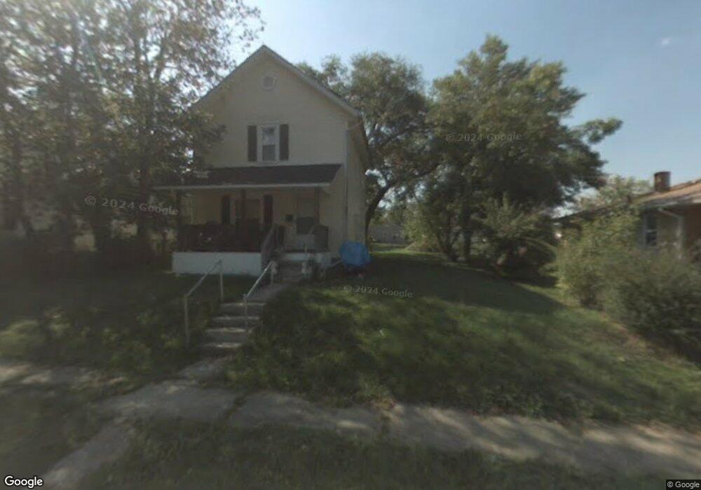
509 Lida St Mansfield, OH 44903
Estimated Value: $58,000 - $79,000
2
Beds
1
Bath
1,120
Sq Ft
$64/Sq Ft
Est. Value
About This Home
This home is located at 509 Lida St, Mansfield, OH 44903 and is currently estimated at $71,898, approximately $64 per square foot. 509 Lida St is a home located in Richland County with nearby schools including Goal Digital Academy, St. Peter's Elementary/Montessori School, and St. Peter's Junior High / High School.
Ownership History
Date
Name
Owned For
Owner Type
Purchase Details
Closed on
Oct 27, 2015
Sold by
Riley Amy Jo and Lindsay Amy Jo
Bought by
Lindsay George and Lindsay George F
Current Estimated Value
Purchase Details
Closed on
Jul 16, 2010
Sold by
Brumfield Steven M
Bought by
Lindsay Amy Jo and Lindsay George F
Purchase Details
Closed on
Mar 8, 2009
Sold by
Brumfield Steven M and Brumfield Mandi S
Bought by
Brumfield Steven M
Purchase Details
Closed on
Feb 24, 2004
Sold by
Lyman Gerald D
Bought by
Brumfield Steven M
Purchase Details
Closed on
Sep 22, 1998
Sold by
Roane Don
Bought by
Hughes Tony
Purchase Details
Closed on
Jul 1, 1986
Create a Home Valuation Report for This Property
The Home Valuation Report is an in-depth analysis detailing your home's value as well as a comparison with similar homes in the area
Home Values in the Area
Average Home Value in this Area
Purchase History
| Date | Buyer | Sale Price | Title Company |
|---|---|---|---|
| Lindsay George | -- | Attorney | |
| Lindsay Amy Jo | $9,700 | Barrister Lawyers Title | |
| Brumfield Steven M | -- | Attorney | |
| Brumfield Steven M | -- | -- | |
| Hughes Tony | $4,000 | -- | |
| -- | $1,000 | -- |
Source: Public Records
Tax History
| Year | Tax Paid | Tax Assessment Tax Assessment Total Assessment is a certain percentage of the fair market value that is determined by local assessors to be the total taxable value of land and additions on the property. | Land | Improvement |
|---|---|---|---|---|
| 2025 | $186 | $3,890 | $1,750 | $2,140 |
| 2024 | $186 | $3,890 | $1,750 | $2,140 |
| 2023 | $1,695 | $3,890 | $1,750 | $2,140 |
| 2022 | $284 | $3,170 | $1,590 | $1,580 |
| 2021 | $285 | $3,170 | $1,590 | $1,580 |
| 2020 | $187 | $3,170 | $1,590 | $1,580 |
| 2019 | $310 | $3,170 | $1,590 | $1,580 |
| 2018 | $204 | $3,170 | $1,590 | $1,580 |
| 2017 | $321 | $6,750 | $1,590 | $5,160 |
| 2016 | $220 | $3,400 | $2,650 | $750 |
| 2015 | $210 | $3,400 | $2,650 | $750 |
| 2014 | $207 | $3,400 | $2,650 | $750 |
| 2012 | $159 | $3,400 | $2,650 | $750 |
Source: Public Records
Map
Nearby Homes
- 524 Lida St
- 580 N Mulberry St
- 118 Raymond Ave
- 0 Grant Rd Unit 5190994
- 0 Voegele Ave Unit Lot 6048, 6049, 6
- 701 Springmill St
- 368 W 6th St
- 516 Burns St
- 0 Highway 30
- 219 W 5th St
- 344 W 5th St
- 447 Spayer Ln
- 346 Newman St
- 572 France St
- 224 Atcheson Ave
- 245 W 4th St
- 0 State Route 314 Unit 9069650
- 688 Mcpherson St
- 10 Gray Ct
- 458 W West Dickson Ave
Your Personal Tour Guide
Ask me questions while you tour the home.