51 Lyons Way North Andover, MA 01845
Estimated Value: $1,111,119 - $1,331,000
4
Beds
3
Baths
2,988
Sq Ft
$406/Sq Ft
Est. Value
About This Home
This home is located at 51 Lyons Way, North Andover, MA 01845 and is currently estimated at $1,211,780, approximately $405 per square foot. 51 Lyons Way is a home located in Essex County with nearby schools including Annie L Sargent Elementary School, North Andover Middle School, and North Andover High School.
Ownership History
Date
Name
Owned For
Owner Type
Purchase Details
Closed on
May 14, 2013
Sold by
Stpierre David G and Stpierre Teresa L
Bought by
Stpierre Ft and Stpierre David G
Current Estimated Value
Purchase Details
Closed on
Oct 5, 2000
Sold by
Mpg Rlty Corp
Bought by
Stpierre David and Stpierre Teresa
Home Financials for this Owner
Home Financials are based on the most recent Mortgage that was taken out on this home.
Original Mortgage
$331,920
Interest Rate
7.96%
Mortgage Type
Purchase Money Mortgage
Create a Home Valuation Report for This Property
The Home Valuation Report is an in-depth analysis detailing your home's value as well as a comparison with similar homes in the area
Home Values in the Area
Average Home Value in this Area
Purchase History
| Date | Buyer | Sale Price | Title Company |
|---|---|---|---|
| Stpierre Ft | -- | -- | |
| Stpierre David | $539,900 | -- |
Source: Public Records
Mortgage History
| Date | Status | Borrower | Loan Amount |
|---|---|---|---|
| Previous Owner | Stpierre David | $49,999 | |
| Previous Owner | Stpierre David | $55,000 | |
| Previous Owner | Stpierre David | $331,920 | |
| Closed | Stpierre David | $100,000 |
Source: Public Records
Tax History
| Year | Tax Paid | Tax Assessment Tax Assessment Total Assessment is a certain percentage of the fair market value that is determined by local assessors to be the total taxable value of land and additions on the property. | Land | Improvement |
|---|---|---|---|---|
| 2025 | $12,354 | $1,097,200 | $436,000 | $661,200 |
| 2024 | $11,793 | $1,063,400 | $414,200 | $649,200 |
| 2023 | $10,558 | $862,600 | $331,400 | $531,200 |
| 2022 | $10,084 | $745,300 | $287,800 | $457,500 |
| 2021 | $9,708 | $685,100 | $261,700 | $423,400 |
| 2020 | $9,323 | $678,500 | $255,100 | $423,400 |
| 2019 | $9,099 | $678,500 | $255,100 | $423,400 |
| 2018 | $9,859 | $678,500 | $255,100 | $423,400 |
| 2017 | $10,436 | $730,800 | $231,100 | $499,700 |
| 2016 | $9,892 | $693,200 | $235,500 | $457,700 |
| 2015 | $9,761 | $678,300 | $219,900 | $458,400 |
Source: Public Records
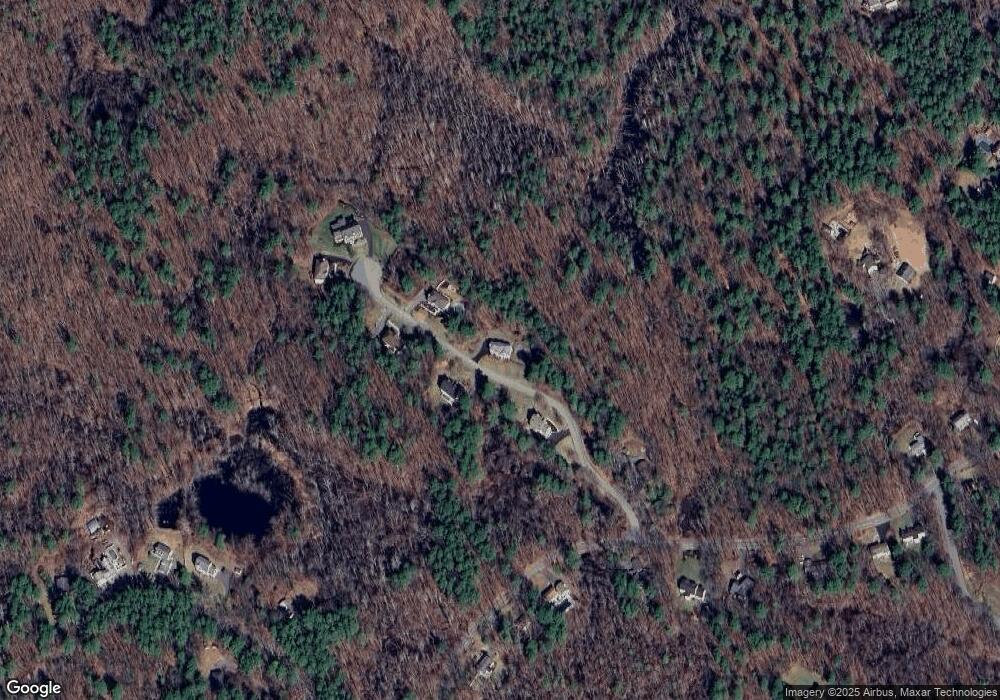
Map
Nearby Homes
- 49 Windsor Ln
- 66 Compass Point Unit 66
- 65 Amberville Rd
- 626 Forest St
- 51 Colonial Ave
- 38 Hepatica Dr Unit 36
- 37 Sullivan St
- 2 Harvest Dr Unit 308
- 2 Harvest Dr Unit 209
- 4 Harvest Dr Unit 225
- 3 Harvest Dr Unit 303
- 1205 Harvest Dr Unit 205
- 906 Alder Way Unit 906
- 990 Forest St
- 224 Raleigh Tavern Ln
- 315 Candlestick Rd
- 122 Forest St
- 195 Farnum St
- 534 Boston St
- 94 Boxford St
- 60 Lyons Way
- 81 Lyons Way
- 80 Lyons Way
- 30 Lyons Way
- 95 Lyons Way
- 168 Campbell Rd
- 94 Lyons Way
- 197 Campbell Rd
- 173 Campbell Rd
- 205 Campbell Rd
- 221 Campbell Rd
- 161 Campbell Rd
- 308 Campbell Rd
- 149 Campbell Rd
- 326 Campbell Rd
- 80 Campbell Rd
- 133 Campbell Rd
- 328 Campbell Rd
- 121 Campbell Rd
- 100 Campbell Rd
Your Personal Tour Guide
Ask me questions while you tour the home.