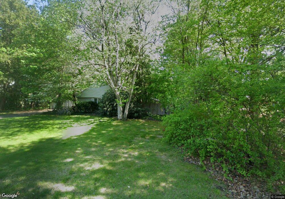
51 Merrill Dr Agawam, MA 01001
Estimated Value: $322,000 - $342,902
4
Beds
2
Baths
2,028
Sq Ft
$164/Sq Ft
Est. Value
About This Home
This home is located at 51 Merrill Dr, Agawam, MA 01001 and is currently estimated at $333,226, approximately $164 per square foot. 51 Merrill Dr is a home located in Hampden County with nearby schools including Agawam Junior High School, Agawam High School, and Veritas Preparatory Charter School.
Ownership History
Date
Name
Owned For
Owner Type
Purchase Details
Closed on
Dec 19, 2025
Sold by
Dematteo Sharon
Bought by
Simpson Miles and Simpson Alyssa
Current Estimated Value
Home Financials for this Owner
Home Financials are based on the most recent Mortgage that was taken out on this home.
Original Mortgage
$300,162
Outstanding Balance
$299,298
Interest Rate
6.22%
Mortgage Type
New Conventional
Estimated Equity
$33,928
Purchase Details
Closed on
Nov 29, 2018
Sold by
Dematteo David and Dematteo Sharon L
Bought by
Dematteo Sharon
Purchase Details
Closed on
Dec 17, 1993
Sold by
King Wayne and King Anna M
Bought by
Dematteo David and Dematteo Sharon L
Home Financials for this Owner
Home Financials are based on the most recent Mortgage that was taken out on this home.
Original Mortgage
$130,600
Interest Rate
7.03%
Mortgage Type
Purchase Money Mortgage
Purchase Details
Closed on
Feb 22, 1989
Sold by
Grimaldi Elizabeth
Bought by
King Wayne
Purchase Details
Closed on
Nov 29, 1988
Sold by
Yelinek Charles
Bought by
Grimaldi Elizabeth
Create a Home Valuation Report for This Property
The Home Valuation Report is an in-depth analysis detailing your home's value as well as a comparison with similar homes in the area
Home Values in the Area
Average Home Value in this Area
Purchase History
| Date | Buyer | Sale Price | Title Company |
|---|---|---|---|
| Simpson Miles | $325,000 | -- | |
| Dematteo Sharon | -- | -- | |
| Dematteo David | $132,000 | -- | |
| King Wayne | $137,000 | -- | |
| King Wayne M | $137,000 | -- | |
| Grimaldi Elizabeth | $130,000 | -- |
Source: Public Records
Mortgage History
| Date | Status | Borrower | Loan Amount |
|---|---|---|---|
| Open | Simpson Miles | $300,162 | |
| Previous Owner | Grimaldi Elizabeth | $36,000 | |
| Previous Owner | Grimaldi Elizabeth | $130,600 | |
| Previous Owner | Grimaldi Elizabeth | $3,460 |
Source: Public Records
Tax History
| Year | Tax Paid | Tax Assessment Tax Assessment Total Assessment is a certain percentage of the fair market value that is determined by local assessors to be the total taxable value of land and additions on the property. | Land | Improvement |
|---|---|---|---|---|
| 2025 | $4,935 | $337,100 | $101,600 | $235,500 |
| 2024 | $4,714 | $324,200 | $101,600 | $222,600 |
| 2023 | $4,387 | $278,000 | $88,000 | $190,000 |
| 2022 | $4,172 | $259,000 | $88,000 | $171,000 |
| 2021 | $3,914 | $233,000 | $77,800 | $155,200 |
| 2020 | $3,802 | $225,900 | $76,700 | $149,200 |
| 2019 | $3,686 | $221,400 | $75,100 | $146,300 |
| 2018 | $3,518 | $211,800 | $75,100 | $136,700 |
| 2017 | $3,342 | $204,900 | $75,100 | $129,800 |
| 2016 | $3,191 | $197,200 | $75,100 | $122,100 |
| 2015 | $3,024 | $192,100 | $75,100 | $117,000 |
Source: Public Records
Map
Nearby Homes
- 208 School St
- 7 Plantation Dr Unit 7
- 106 Plantation Dr
- 70 Corey Colonial
- 23 Katherine Dr
- 40 Corey Colonial
- 418 Meadow St Unit 42
- 959 Main St
- 95 Carr Ave
- 420 Main St Unit 71
- 99 Birchwood Ave
- 0 Silver St
- 0 Springfield St Unit 73505279
- 283 Longhill St
- 34 Sumner Ave Unit 302
- 34 Sumner Ave Unit 411
- 34 Sumner Ave Unit 208
- 34 Sumner Ave Unit 210
- 34 Sumner Ave Unit 301
- 106 Magnolia Terrace
Your Personal Tour Guide
Ask me questions while you tour the home.