51 N Pershing Ave Unit 53 Akron, OH 44313
Northwest Akron NeighborhoodEstimated Value: $197,790 - $213,000
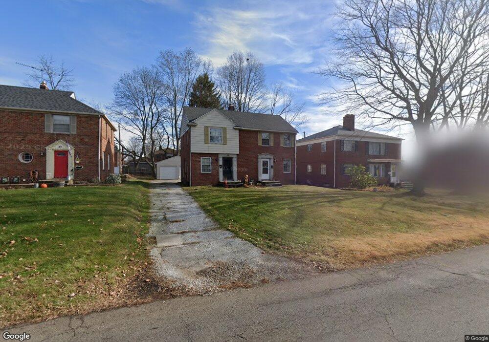
About This Home
This home is located at 51 N Pershing Ave Unit 53, Akron, OH 44313 and is currently estimated at $204,948, approximately $218 per square foot. 51 N Pershing Ave Unit 53 is a home located in Summit County with nearby schools including Summit Academy School, Our Lady Of The Elms Elementary School, and St. Sebastian Parish School.
Ownership History
We collect this data history from publicly available records. To have your information removed, we recommend requesting removal directly through your county’s website.
Purchase Details
Home Financials for this Owner
Home Financials are based on the most recent Mortgage that was taken out on this home.Home Values in the Area
Average Home Value in this Area
Purchase History
We collect this data history from publicly available records. To have your information removed, we recommend requesting removal directly through your county’s website.
| Date | Buyer | Sale Price | Title Company |
|---|---|---|---|
| $110,500 | Attorney |
Mortgage History
We collect this data history from publicly available records. To have your information removed, we recommend requesting removal directly through your county’s website.
| Date | Status | Borrower | Loan Amount |
|---|---|---|---|
| Closed | $89,180 | ||
| Closed | $88,400 | ||
| Closed | $22,100 |
Tax History
We collect this data history from publicly available records. To have your information removed, we recommend requesting removal directly through your county’s website.
| Year | Tax Paid | Tax Assessment Tax Assessment Total Assessment is a certain percentage of the fair market value that is determined by local assessors to be the total taxable value of land and additions on the property. | Land | Improvement |
|---|---|---|---|---|
| 2026 | $5,822 | $64,320 | $13,563 | $50,757 |
| 2025 | $2,767 | $49,739 | $8,992 | $40,747 |
| 2024 | $2,767 | $49,739 | $8,992 | $40,747 |
| 2023 | $2,767 | $49,739 | $8,992 | $40,747 |
| 2022 | $2,605 | $36,684 | $6,563 | $30,121 |
| 2021 | $2,507 | $36,684 | $6,563 | $30,121 |
| 2020 | $2,661 | $36,680 | $6,560 | $30,120 |
| 2019 | $2,757 | $34,650 | $8,610 | $26,040 |
| 2018 | $2,723 | $34,650 | $8,610 | $26,040 |
| 2017 | $2,529 | $34,650 | $8,610 | $26,040 |
| 2016 | $2,622 | $33,360 | $8,610 | $24,750 |
| 2015 | $2,529 | $33,360 | $8,610 | $24,750 |
| 2014 | $2,509 | $33,360 | $8,610 | $24,750 |
| 2013 | $2,596 | $35,320 | $8,610 | $26,710 |
Map
- 1727-1729 Shatto Ave
- 1766 Tanglewood Dr
- 1724 Wiltshire Rd
- 2070 White Pond Dr
- 1695 Wiltshire Rd
- 1660 Wiltshire Rd
- 0 White Pond Dr Unit 5156539
- 330 N Hawkins Ave
- 71 N Hawkins Ave
- 262 Lownsdale Ave
- 21 Hampshire Rd
- 361 Village Pointe Dr Unit 2
- 2120 Ridgewood Rd
- 1920 Stockbridge Rd
- 1593 Kingsley Ave
- 350 Village Pointe Dr
- 380 Alden Ave
- 1933 Brookshire Rd
- 508 & 510 N Hawkins Ave
- 173 Wichita Place
- 65 N Pershing Ave Unit 67
- 57 N Pershing Ave Unit 59
- 57 N Pershing Ave Unit 59
- 71 N Pershing Ave Unit 73
- 58 N Pershing Ave
- 72 N Pershing Ave
- 77 N Pershing Ave Unit 79
- 45 N Pershing Ave Unit 47
- 70 N Pershing Ave Unit 72
- 80 Greencrest Terrace Unit 82
- 83 N Pershing Ave Unit 85
- 68 Greencrest Terrace Unit 70
- 86 Greencrest Terrace Unit 88
- 80 82 Greencrest Terrace
- 80 N Pershing Ave
- 83 85 N Pershing Ave
- 44 N Pershing Ave Unit 5
- 72 Greencrest Terrace Unit 74
- 62 Greencrest Terrace Unit 64
- 92 Greencrest Terrace Unit 94
Ask me questions while you tour the home.