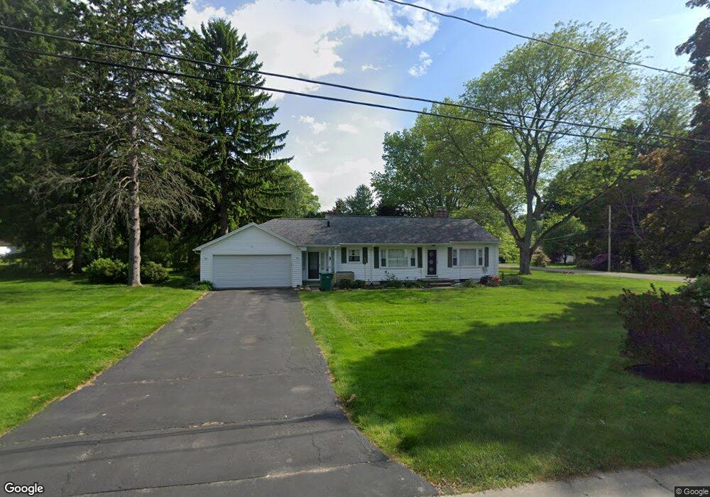
51 Rossman Dr Webster, NY 14580
Estimated Value: $222,624 - $287,000
3
Beds
1
Bath
1,092
Sq Ft
$233/Sq Ft
Est. Value
About This Home
This home is located at 51 Rossman Dr, Webster, NY 14580 and is currently estimated at $254,156, approximately $232 per square foot. 51 Rossman Dr is a home located in Monroe County with nearby schools including Plank Road South Elementary School, Spry Middle School, and Webster-Schroeder High School.
Ownership History
Date
Name
Owned For
Owner Type
Purchase Details
Closed on
Jul 15, 2010
Sold by
Csuha Sandor and Csuha Stefania
Bought by
Maloney Patrice
Current Estimated Value
Home Financials for this Owner
Home Financials are based on the most recent Mortgage that was taken out on this home.
Original Mortgage
$95,600
Outstanding Balance
$62,352
Interest Rate
4.82%
Mortgage Type
New Conventional
Estimated Equity
$191,804
Purchase Details
Closed on
Mar 27, 2008
Sold by
Est Fisher Denver W
Bought by
Cusha Sandar
Create a Home Valuation Report for This Property
The Home Valuation Report is an in-depth analysis detailing your home's value as well as a comparison with similar homes in the area
Home Values in the Area
Average Home Value in this Area
Purchase History
| Date | Buyer | Sale Price | Title Company |
|---|---|---|---|
| Maloney Patrice | $119,500 | Chicago Title Insurance Co | |
| Cusha Sandar | $90,899 | Richard A Leszyk |
Source: Public Records
Mortgage History
| Date | Status | Borrower | Loan Amount |
|---|---|---|---|
| Open | Maloney Patrice | $95,600 |
Source: Public Records
Tax History
| Year | Tax Paid | Tax Assessment Tax Assessment Total Assessment is a certain percentage of the fair market value that is determined by local assessors to be the total taxable value of land and additions on the property. | Land | Improvement |
|---|---|---|---|---|
| 2025 | $2,769 | $146,500 | $43,500 | $103,000 |
| 2024 | $2,769 | $146,500 | $43,500 | $103,000 |
| 2023 | $2,736 | $146,500 | $43,500 | $103,000 |
| 2022 | $4,285 | $146,500 | $43,500 | $103,000 |
| 2021 | $4,266 | $112,200 | $38,600 | $73,600 |
| 2020 | $2,827 | $112,200 | $38,600 | $73,600 |
| 2019 | $3,341 | $112,200 | $38,600 | $73,600 |
| 2018 | $3,435 | $112,200 | $38,600 | $73,600 |
| 2017 | $1,748 | $112,200 | $38,600 | $73,600 |
| 2016 | $3,341 | $112,200 | $38,600 | $73,600 |
| 2015 | -- | $112,200 | $38,600 | $73,600 |
| 2014 | -- | $112,200 | $38,600 | $73,600 |
Source: Public Records
Map
Nearby Homes
- 10 Bay Park
- 75 Crest View Dr
- 142 Yorktown Dr
- 1166 Bay Rd
- 70 Avalon Trail
- 95 Guygrace Ln
- 51 Walnut Hill Dr
- 97 Seabury Blvd
- 59 Cardogan Square
- 112 Triple Diamond Way
- 668 Embury Rd
- 62 Creek Hill Ln
- 135 Orchard Park Blvd
- 439 Tara Ln
- 5 Blue Pine Cir
- 254 Parkview Dr
- 66 Rick Edge Cir
- 168 Willowen Dr
- 26 Timberline Dr
- 355 Bay Village Dr
Your Personal Tour Guide
Ask me questions while you tour the home.