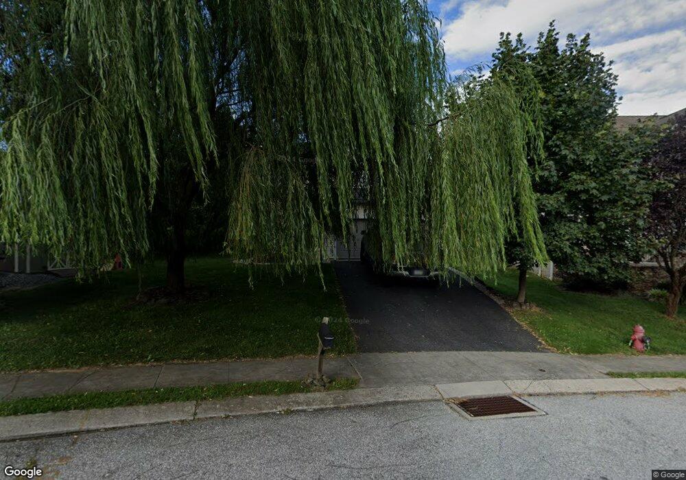
51 Routsong Ln Aspers, PA 17304
Estimated Value: $299,018 - $343,000
4
Beds
3
Baths
1,927
Sq Ft
$166/Sq Ft
Est. Value
About This Home
This home is located at 51 Routsong Ln, Aspers, PA 17304 and is currently estimated at $319,255, approximately $165 per square foot. 51 Routsong Ln is a home located in Adams County with nearby schools including Biglerville High School.
Ownership History
Date
Name
Owned For
Owner Type
Purchase Details
Closed on
Jun 15, 2011
Sold by
Brick Point Construction Inc
Bought by
Hardman Kevin G
Current Estimated Value
Home Financials for this Owner
Home Financials are based on the most recent Mortgage that was taken out on this home.
Original Mortgage
$139,378
Outstanding Balance
$94,137
Interest Rate
4.74%
Mortgage Type
New Conventional
Estimated Equity
$225,118
Create a Home Valuation Report for This Property
The Home Valuation Report is an in-depth analysis detailing your home's value as well as a comparison with similar homes in the area
Home Values in the Area
Average Home Value in this Area
Purchase History
| Date | Buyer | Sale Price | Title Company |
|---|---|---|---|
| Hardman Kevin G | $134,500 | -- |
Source: Public Records
Mortgage History
| Date | Status | Borrower | Loan Amount |
|---|---|---|---|
| Open | Hardman Kevin G | $139,378 |
Source: Public Records
Tax History
| Year | Tax Paid | Tax Assessment Tax Assessment Total Assessment is a certain percentage of the fair market value that is determined by local assessors to be the total taxable value of land and additions on the property. | Land | Improvement |
|---|---|---|---|---|
| 2026 | $4,430 | $187,900 | $68,700 | $119,200 |
| 2025 | $4,276 | $185,300 | $68,700 | $116,600 |
| 2024 | $3,961 | $185,300 | $68,700 | $116,600 |
| 2023 | $3,915 | $185,300 | $68,700 | $116,600 |
| 2022 | $3,915 | $185,300 | $68,700 | $116,600 |
| 2021 | $3,809 | $185,300 | $68,700 | $116,600 |
| 2020 | $3,809 | $185,300 | $68,700 | $116,600 |
| 2019 | $3,740 | $185,300 | $68,700 | $116,600 |
| 2018 | $3,651 | $185,300 | $68,700 | $116,600 |
| 2017 | $3,453 | $185,300 | $68,700 | $116,600 |
| 2016 | -- | $185,300 | $68,700 | $116,600 |
| 2015 | -- | $185,300 | $68,700 | $116,600 |
| 2014 | -- | $185,300 | $68,700 | $116,600 |
Source: Public Records
Map
Nearby Homes
- 0 Parcel 1 Unit PAAD2018366
- 0 Rampike Hill Rd
- 99 Mcintosh Ln
- 9 W Imperial Dr
- 160 N Main St
- 145 Mount Tabor Rd
- 0 Carlisle Rd
- 509 Gablers Rd
- 584 Aspers Bendersville Rd
- 255 Opossum Hill Rd
- 0 Orchard Ln
- 0 LOT #46 Maryland Ave
- 120 Timber Ln
- 290 Guernsey Rd Unit 1
- 21 Upper Bermudian Rd
- 3498 Carlisle Rd
- 265 E York St
- 114 E York St
- 78 E York St
- 12 Kristi Ln
- 51 Routsong Ln Unit 8
- 51 Routsong Ln
- 56 Routsong Ln Unit 20
- 45 Routsong Ln Unit 7
- 39 Routsong Ln Unit 6
- 59 Routsong Ln Unit 9
- 59 Routsong Ln
- 50 Routsong Ln Unit 21
- 59 Routsong Ln Unit 9
- 33 Routsong Ln Unit 5
- 34 Routsong Ln
- 34 Routsong Ln Unit 22
- 62 Routsong Ln Unit 19
- 79 Routsong Ln
- 68 Routsong Ln Unit 18
- 27 Routsong Ln Unit 4
- 68 Routsong Ln
- 85 Routsong Ln
- 20 Routsong Ln Unit 23
- 76 Routsong Ln
Your Personal Tour Guide
Ask me questions while you tour the home.