51 Walter St Campbell, OH 44405
Estimated Value: $13,000 - $106,000
About This Home
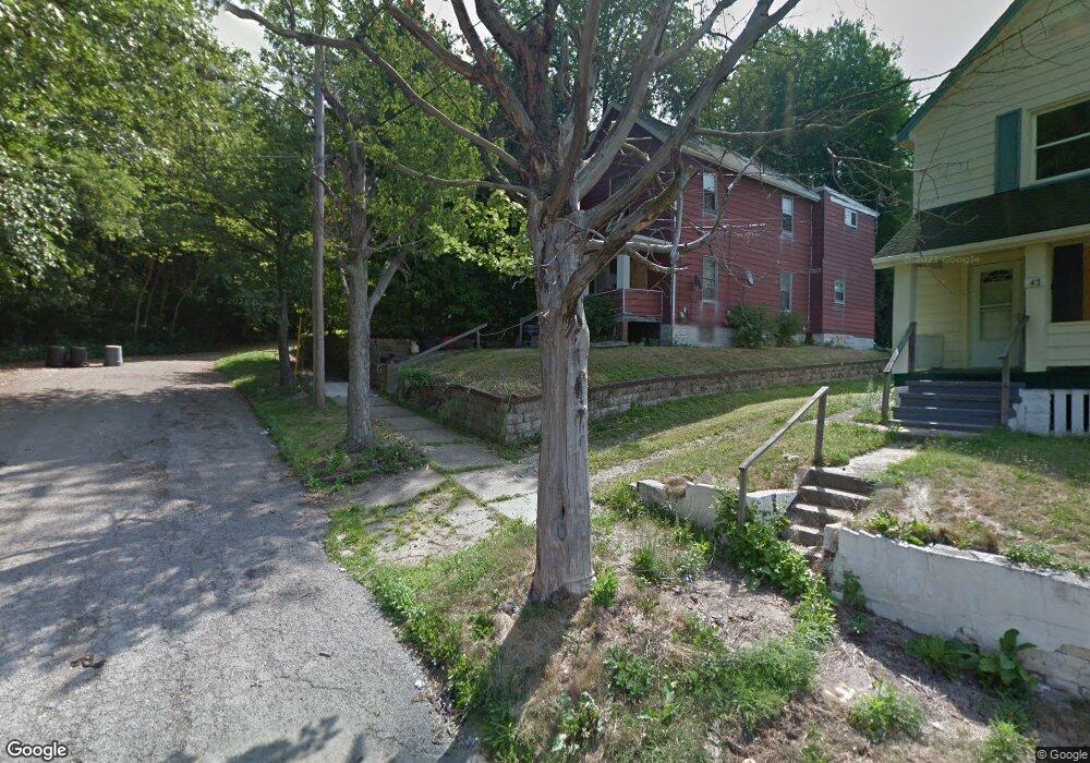
This home is located at 51 Walter St, Campbell, OH 44405 and is currently estimated at $59,500, approximately $50 per square foot. 51 Walter St is a home located in Mahoning County with nearby schools including Campbell Elementary School, Memorial High School, and Northeast Ohio Impact Academy.
Ownership History
We collect this data history from publicly available records. To have your information removed, we recommend requesting removal directly through your county’s website.
Purchase Details
Purchase Details
Home Financials for this Owner
Home Financials are based on the most recent Mortgage that was taken out on this home.Purchase Details
Home Values in the Area
Average Home Value in this Area
Purchase History
We collect this data history from publicly available records. To have your information removed, we recommend requesting removal directly through your county’s website.
| Date | Buyer | Sale Price | Title Company |
|---|---|---|---|
| $3,806 | Attorney | ||
| $34,400 | -- | ||
| -- | -- |
Mortgage History
We collect this data history from publicly available records. To have your information removed, we recommend requesting removal directly through your county’s website.
| Date | Status | Borrower | Loan Amount |
|---|---|---|---|
| Previous Owner | $34,500 |
Tax History
We collect this data history from publicly available records. To have your information removed, we recommend requesting removal directly through your county’s website.
| Year | Tax Paid | Tax Assessment Tax Assessment Total Assessment is a certain percentage of the fair market value that is determined by local assessors to be the total taxable value of land and additions on the property. | Land | Improvement |
|---|---|---|---|---|
| 2025 | -- | $150 | $150 | -- |
| 2024 | -- | $150 | $150 | -- |
| 2022 | $0 | $240 | $240 | $0 |
| 2021 | $3 | $240 | $240 | $0 |
| 2020 | $3 | $240 | $240 | $0 |
| 2019 | $3 | $240 | $240 | $0 |
| 2018 | $0 | $240 | $240 | $0 |
| 2017 | $3 | $240 | $240 | $0 |
| 2016 | $3 | $4,100 | $300 | $3,800 |
| 2015 | $3 | $4,100 | $300 | $3,800 |
| 2014 | $264 | $4,100 | $300 | $3,800 |
| 2013 | $654 | $4,100 | $300 | $3,800 |
Map
- 45 Walter St
- 279 Coitsville Rd
- 53 Memorial Cir
- 127 Courtland Ave
- 311 Sanderson Ave
- 103 Gladstone St
- 0 N Montgomery Ave Unit 5206707
- 190 10th St
- 34 N Montgomery Ave
- 1 N Montgomery Ave
- 505 6th St
- 374 Tenney Ave
- 460 Whipple Ave
- 38 Mccartney Rd
- 1712 Richmond Ave
- 631 Coitsville Rd
- 58 Rutledge Dr
- 3443 Belden Ave
- 62 Fincastle Ln
- 1427 Hawn St
Ask me questions while you tour the home.