510 E John St Brookfield, MO 64628
Brookfield AreaEstimated Value: $165,000 - $224,379
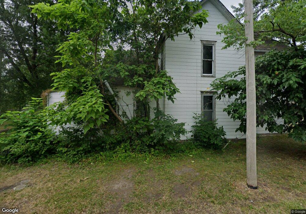
About This Home
This home is located at 510 E John St, Brookfield, MO 64628 and is currently estimated at $186,845, approximately $112 per square foot. 510 E John St is a home with nearby schools including Brookfield Elementary School, Brookfield Middle School, and Brookfield High School.
Ownership History
We collect this data history from publicly available records. To have your information removed, we recommend requesting removal directly through your county’s website.
Purchase Details
Home Values in the Area
Average Home Value in this Area
Purchase History
We collect this data history from publicly available records. To have your information removed, we recommend requesting removal directly through your county’s website.
| Date | Buyer | Sale Price | Title Company |
|---|---|---|---|
| $118,055 | Professional Land Title Co |
Tax History
We collect this data history from publicly available records. To have your information removed, we recommend requesting removal directly through your county’s website.
| Year | Tax Paid | Tax Assessment Tax Assessment Total Assessment is a certain percentage of the fair market value that is determined by local assessors to be the total taxable value of land and additions on the property. | Land | Improvement |
|---|---|---|---|---|
| 2025 | $1,274 | $20,265 | $3,287 | $16,978 |
| 2024 | $12 | $19,456 | $3,287 | $16,169 |
| 2023 | $1,214 | $19,456 | $3,287 | $16,169 |
| 2022 | $1,170 | $18,677 | $3,287 | $15,390 |
| 2021 | $0 | $18,677 | $3,287 | $15,390 |
| 2020 | $1,172 | $18,677 | $3,287 | $15,390 |
| 2019 | $1,136 | $18,107 | $2,717 | $15,390 |
| 2018 | $1,131 | $18,107 | $2,413 | $15,694 |
| 2015 | -- | $13,091 | $2,413 | $10,678 |
| 2011 | -- | $68,900 | $12,700 | $56,200 |
Map
- 303 Shelby St
- 515 Shelby St
- 316 Macon St
- 409 E Sedgwick St
- 815 Meade St
- 721 Lincoln St
- 209 Sanford St
- 634 Brookfield Ave
- 323 N Clinton St
- 117 E Clark St
- 0 Highway 11 Unit 28074636
- 420 Smith St
- 716 Strawbridge St
- 1009 Brookfield Ave
- 412 S Main St
- 415 S Livingston St
- 419 Nichols St
- 812 W Wood St
- 816 Mcgowan St
- 0 Brittany Ln
- 402 N Monroe St
- 324 N Monroe St
- 410 N Monroe St
- 318 N Monroe St
- 414 N Monroe St
- 420 N Monroe St
- 516 E Prairie St
- 514 E Prairie St
- 421 N Monroe St
- 507 E Wood St
- 520 E Prairie St
- 503 E Wood St
- 526 E Prairie St
- 321 Grant St
- 402 Shelby St
- 530 E Prairie St
- 408 Shelby St
- 416 Shelby St
- 317 Grant St
- 420 Shelby St
Ask me questions while you tour the home.