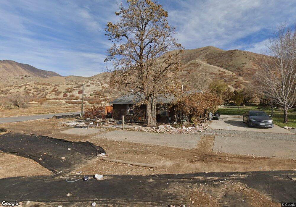
510 N 2000 E Mapleton, UT 84664
Estimated Value: $528,000
3
Beds
1
Bath
1,125
Sq Ft
$469/Sq Ft
Est. Value
About This Home
This home is located at 510 N 2000 E, Mapleton, UT 84664 and is currently priced at $528,000, approximately $469 per square foot. 510 N 2000 E is a home located in Utah County with nearby schools including Hobble Creek School, Mapleton Junior High School, and Maple Mountain High School.
Ownership History
Date
Name
Owned For
Owner Type
Purchase Details
Closed on
Jan 5, 2022
Sold by
Clint Garner
Bought by
Garner Clint and Garner Cathryn Anne
Current Estimated Value
Home Financials for this Owner
Home Financials are based on the most recent Mortgage that was taken out on this home.
Original Mortgage
$995,500
Outstanding Balance
$921,145
Interest Rate
3.12%
Mortgage Type
New Conventional
Purchase Details
Closed on
Sep 29, 2021
Sold by
Garner Clint and Garner Cathryn
Bought by
Garner Clint and Garner Cathryn
Purchase Details
Closed on
May 2, 2018
Sold by
Fredrickson Pamela
Bought by
Garner Clint and Garner Cathryn
Home Financials for this Owner
Home Financials are based on the most recent Mortgage that was taken out on this home.
Original Mortgage
$200,000
Interest Rate
4.45%
Mortgage Type
Purchase Money Mortgage
Create a Home Valuation Report for This Property
The Home Valuation Report is an in-depth analysis detailing your home's value as well as a comparison with similar homes in the area
Home Values in the Area
Average Home Value in this Area
Purchase History
| Date | Buyer | Sale Price | Title Company |
|---|---|---|---|
| Garner Clint | -- | Stewart Title Company | |
| Garner Clint | -- | Stewart Title Ins Agcy Of Ut | |
| Garner Clint | -- | Stewart Title Ins Agcy Of Ut | |
| Garner Clint | -- | First American Title |
Source: Public Records
Mortgage History
| Date | Status | Borrower | Loan Amount |
|---|---|---|---|
| Open | Garner Clint | $995,500 | |
| Previous Owner | Garner Clint | $200,000 |
Source: Public Records
Tax History
| Year | Tax Paid | Tax Assessment Tax Assessment Total Assessment is a certain percentage of the fair market value that is determined by local assessors to be the total taxable value of land and additions on the property. | Land | Improvement |
|---|---|---|---|---|
| 2020 | $2,269 | $279,400 | $236,000 | $43,400 |
| 2019 | $2,144 | $267,700 | $230,000 | $37,700 |
Source: Public Records
Map
Nearby Homes
- 702 N 2000 E Unit 305
- 764 N 2000 E
- 630 N 1600 E
- 149 S Krissa St Unit 10
- 1515 E Maple St
- 234 S Krissa St Unit 1
- 266 S Krissa St Unit 2
- 304 S Krissa St Unit 3
- 204 S Troy St
- 1564 N 1700 East St
- 1548 N 1350 St E Unit 11
- 1578 N 1350 St E Unit 12
- 1447 N 1350 St E Unit 5
- 1577 N 1350 St E Unit 1
- 1477 N 1350 St E Unit 4
- 1547 N 1350 St E Unit 2
- 1511 N 1350 St E Unit 3
- 575 S 1560 E
- 1096 N 1000 E
- 310 N 800 E
- 510 N 2000 E
- 450 N 2000 E
- 2137 E 400 N
- 560 N 2000 E
- 2237 E 400 N
- 2530 E 400 N Unit 6
- 2530 E 400 N Unit 5
- 2138 E 400 N
- 2124 E 400 N
- 590 N 2000 E
- 590 N 2000 E Unit 36377393
- 590 N 2000 E Unit 36377408
- 590 N 2000 E Unit 36377406
- 378 N Clegg Canyon Dr
- 2010 E 400 N
- 1903 E 400 N
- 375 N Clegg Canyon Dr
- 375 N Clegg Canyon Dr Unit 1
- 687 N 2000 E Unit 4
- 687 N 2000 E
Your Personal Tour Guide
Ask me questions while you tour the home.