5107 Brophy Rd Eagle Point, OR 97524
Estimated Value: $504,868 - $712,000
About This Home
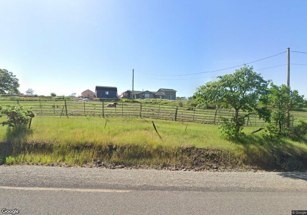
This home is located at 5107 Brophy Rd, Eagle Point, OR 97524 and is currently estimated at $573,956, approximately $238 per square foot. 5107 Brophy Rd is a home located in Jackson County with nearby schools including Eagle Rock Elementary School, Eagle Point Middle School, and White Mountain Middle School.
Ownership History
We collect this data history from publicly available records. To have your information removed, we recommend requesting removal directly through your county’s website.
Purchase Details
Purchase Details
Purchase History
We collect this data history from publicly available records. To have your information removed, we recommend requesting removal directly through your county’s website.
| Date | Buyer | Sale Price | Title Company |
|---|---|---|---|
| $400,000 | Ticor Title | ||
| -- | First American Title Ins Co |
Tax History
We collect this data history from publicly available records. To have your information removed, we recommend requesting removal directly through your county’s website.
| Year | Tax Paid | Tax Assessment Tax Assessment Total Assessment is a certain percentage of the fair market value that is determined by local assessors to be the total taxable value of land and additions on the property. | Land | Improvement |
|---|---|---|---|---|
| 2026 | $3,361 | $294,140 | -- | -- |
| 2025 | $3,275 | $285,580 | $97,990 | $187,590 |
| 2024 | $3,275 | $277,270 | $95,140 | $182,130 |
| 2023 | $3,163 | $269,200 | $92,370 | $176,830 |
| 2022 | $3,080 | $269,200 | $92,370 | $176,830 |
| 2021 | $2,991 | $261,360 | $89,680 | $171,680 |
| 2020 | $3,231 | $253,750 | $87,070 | $166,680 |
| 2019 | $3,191 | $239,190 | $82,070 | $157,120 |
| 2018 | $3,119 | $232,230 | $79,690 | $152,540 |
| 2017 | $3,045 | $232,230 | $79,690 | $152,540 |
| 2016 | $2,967 | $218,910 | $75,110 | $143,800 |
| 2015 | $2,866 | $218,910 | $75,110 | $143,800 |
| 2014 | $2,779 | $206,350 | $70,790 | $135,560 |
Map
- 0 Stevens Rd Unit 27053901
- 1712 Stevens Rd
- 436 St Clair Way
- 426 Crystal Dr
- 460 Montclair Way
- 430 Crystal Dr
- 441 Crystal Dr
- 1918 Stevens Rd
- 633 E Archwood Dr Unit 86
- 633 E Archwood Dr Unit 44
- 633 E Archwood Dr Unit 12
- 633 E Archwood Dr Unit 53
- 633 E Archwood Dr Unit 130
- 633 E Archwood Dr Unit 125
- 633 E Archwood Dr Unit 43
- 1015 Palima Dr
- 1881 Brophy Rd
- 374 Avalon Terrace
- 963 Stevens Rd
- 278 Cambridge Terrace
- 5303 Brophy Rd
- 2070 Brownsboro Hwy
- 5030 Brophy Rd
- 2373 Brownsboro Hwy
- 2404 Brownsboro Hwy
- 2230 Brownsboro Hwy
- 5018 Brophy Rd
- 2300 Brownsboro Hwy
- 2621 Brownsboro Hwy
- 900 Ayres Rd
- 2650 Brownsboro Hwy
- 790 Ayres St
- 790 Ayres Rd
- 2526 Brownsboro Hwy
- 940 Ayres Rd
- 690 Ayres Rd
- 2713 Brownsboro Hwy
- 750 Ayres Rd
- 4646 Brophy Rd
- 678 Ayres Rd
Ask me questions while you tour the home.