5107 W Stone Bridge Dr Muncie, IN 47304
Estimated Value: $371,136 - $447,000
About This Home
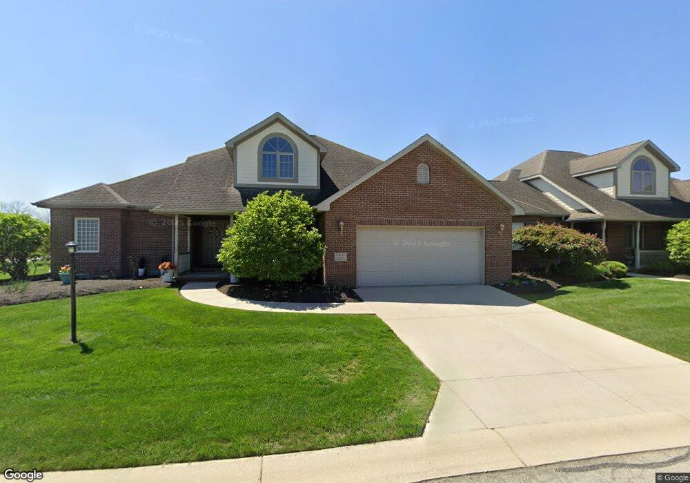
This home is located at 5107 W Stone Bridge Dr, Muncie, IN 47304 and is currently estimated at $403,284, approximately $158 per square foot. 5107 W Stone Bridge Dr is a home located in Delaware County with nearby schools including Wes-Del Elementary School and Wes-Del Middle/Senior High School.
Ownership History
We collect this data history from publicly available records. To have your information removed, we recommend requesting removal directly through your county’s website.
Purchase Details
Home Financials for this Owner
Home Financials are based on the most recent Mortgage that was taken out on this home.Purchase History
We collect this data history from publicly available records. To have your information removed, we recommend requesting removal directly through your county’s website.
| Date | Buyer | Sale Price | Title Company |
|---|---|---|---|
| -- | None Available |
Mortgage History
We collect this data history from publicly available records. To have your information removed, we recommend requesting removal directly through your county’s website.
| Date | Status | Borrower | Loan Amount |
|---|---|---|---|
| Open | $203,920 |
Tax History
We collect this data history from publicly available records. To have your information removed, we recommend requesting removal directly through your county’s website.
| Year | Tax Paid | Tax Assessment Tax Assessment Total Assessment is a certain percentage of the fair market value that is determined by local assessors to be the total taxable value of land and additions on the property. | Land | Improvement |
|---|---|---|---|---|
| 2025 | $3,432 | $361,400 | $32,500 | $328,900 |
| 2024 | $3,037 | $291,900 | $32,500 | $259,400 |
| 2023 | $3,069 | $295,100 | $32,500 | $262,600 |
| 2022 | $3,130 | $301,200 | $32,500 | $268,700 |
| 2021 | $2,915 | $279,700 | $32,500 | $247,200 |
| 2020 | $2,944 | $282,600 | $32,500 | $250,100 |
| 2019 | $2,937 | $281,900 | $32,500 | $249,400 |
| 2018 | $2,966 | $284,800 | $32,500 | $252,300 |
| 2017 | $2,966 | $284,800 | $32,500 | $252,300 |
| 2016 | $2,994 | $287,600 | $32,500 | $255,100 |
| 2014 | $2,928 | $287,500 | $32,500 | $255,000 |
| 2013 | -- | $287,500 | $32,500 | $255,000 |
Map
- 5003 N Eagle Branch Dr
- 5209 N Morrison Rd
- 4518 Wickfield Dr
- 5510 W Bethel Parcel 006 Ave
- 5510 W Bethel Ave
- 4300 N Morrison Rd
- 4110 W Heath Dr
- 4701 N Weir Dr
- 3909 W Thornburg Dr
- 5101 N Timothy Way
- 0 N Morrison Rd
- 6405 W Bethel Ave
- 3605 N Benton Rd
- 6600 N Brindale Dr
- 4808 N Camelot Dr
- 4804 N Camelot Dr
- 3606 N Lakeside Dr
- 3640 N Lakeside Dr
- 0 W Hessler Rd Unit 202530988
- 0 W Hessler Rd Unit 202533017
- LOT 1 Eagle Branch
- 5203 Stonebridge Dr
- 5001 N Eagle Branch Dr
- 5109 W Stone Bridge Dr
- 5109 Stonebridge Dr
- 5008 W Stonebridge Dr
- 5205 Stonebridge Dr
- 5107 Stonebridge Dr
- 5002 N Eagle Branch Dr
- 5110 Stonebridge Dr
- 5007 N Eagle Branch Dr
- 5007 N Eagle Branch Dr Unit Muncie
- 5008 N Eagle Branch Dr
- 5009 N Eagle Branch Dr
- 5010 N Eagle Branch Dr
- 5104 Stonebridge Dr
- 5208 W Stonebridge Dr
- 4909 Greystone Dr
- 4913 Greystone Dr
- 5102 Stonebridge Dr
Ask me questions while you tour the home.